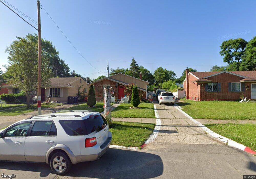
818 Lochhead Ave Flint, MI 48507
Circle Drive NeighborhoodEstimated Value: $80,327 - $104,000
3
Beds
2
Baths
934
Sq Ft
$95/Sq Ft
Est. Value
About This Home
This home is located at 818 Lochhead Ave, Flint, MI 48507 and is currently estimated at $89,082, approximately $95 per square foot. 818 Lochhead Ave is a home located in Genesee County with nearby schools including Freeman Elementary School, Flint Southwestern Classical Academy, and International Academy of Flint (K-12).
Ownership History
Date
Name
Owned For
Owner Type
Purchase Details
Closed on
Mar 13, 2007
Sold by
Massoud Antoine N and Massoud Tanuos N
Bought by
Massoud Samar
Current Estimated Value
Purchase Details
Closed on
Apr 28, 2000
Sold by
Massoud N Massoud T and Massoud N
Bought by
Massoud Tanuos N and Massoud Nouhad
Create a Home Valuation Report for This Property
The Home Valuation Report is an in-depth analysis detailing your home's value as well as a comparison with similar homes in the area
Home Values in the Area
Average Home Value in this Area
Purchase History
| Date | Buyer | Sale Price | Title Company |
|---|---|---|---|
| Massoud Samar | -- | None Available | |
| Massoud Tanuos N | -- | -- |
Source: Public Records
Tax History
| Year | Tax Paid | Tax Assessment Tax Assessment Total Assessment is a certain percentage of the fair market value that is determined by local assessors to be the total taxable value of land and additions on the property. | Land | Improvement |
|---|---|---|---|---|
| 2025 | $827 | $38,000 | $0 | $0 |
| 2024 | $755 | $32,800 | $0 | $0 |
| 2023 | $745 | $27,600 | $0 | $0 |
| 2022 | $0 | $21,100 | $0 | $0 |
| 2021 | $770 | $20,100 | $0 | $0 |
| 2020 | $700 | $19,600 | $0 | $0 |
| 2019 | $1,071 | $12,200 | $0 | $0 |
| 2018 | $2,037 | $9,800 | $0 | $0 |
| 2017 | $656 | $0 | $0 | $0 |
| 2016 | $652 | $0 | $0 | $0 |
| 2015 | -- | $0 | $0 | $0 |
| 2014 | -- | $0 | $0 | $0 |
| 2012 | -- | $16,100 | $0 | $0 |
Source: Public Records
Map
Nearby Homes
- 818 Dell Ave
- 802 McKeighan Ave
- 1111 Lochhead Ave
- 621 Lochhead Ave
- 4424 Cheyenne Ave
- 617 McKeighan Ave
- 621 Burroughs Ave
- 630 Buckingham Ave
- 530 McKeighan Ave
- 3056 Shaw St
- 4133 Custer Ave
- 3128 Ludwig St
- 4127 Custer Ave
- 3505 Comanche Ave
- 416 Burroughs Ave
- 4205 Red Arrow Rd
- 326 Burroughs Ave
- 338 Browning Ave
- 361 Buckingham Ave
- 352 Buckingham Ave
- 902 Lochhead Ave
- 814 Lochhead Ave
- 810 Lochhead Ave
- 906 Lochhead Ave
- 817 Dell Ave
- 813 Dell Ave
- 901 Dell Ave
- 809 Dell Ave
- 806 Lochhead Ave
- 910 Lochhead Ave
- 905 Dell Ave
- 817 Lochhead Ave
- 813 Lochhead Ave
- 805 Dell Ave
- 901 Lochhead Ave
- 809 Lochhead Ave
- 802 Lochhead Ave
- 914 Lochhead Ave
- 909 Dell Ave
- 905 Lochhead Ave
Your Personal Tour Guide
Ask me questions while you tour the home.