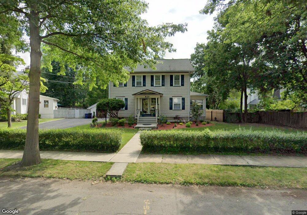
818 Osborne Ave Unit 24 Plainfield, NJ 07062
Estimated Value: $463,000 - $725,000
--
Bed
--
Bath
1,956
Sq Ft
$301/Sq Ft
Est. Value
About This Home
This home is located at 818 Osborne Ave Unit 24, Plainfield, NJ 07062 and is currently estimated at $588,023, approximately $300 per square foot. 818 Osborne Ave Unit 24 is a home located in Union County with nearby schools including Frederic W. Cook School, Emerson Community School, and Maxson Middle School.
Ownership History
Date
Name
Owned For
Owner Type
Purchase Details
Closed on
Jan 19, 2016
Sold by
Smith Wayne C and Smith Kathleen C
Bought by
Balmeo Sheridan F and Kuascar Teran
Current Estimated Value
Home Financials for this Owner
Home Financials are based on the most recent Mortgage that was taken out on this home.
Original Mortgage
$269,000
Outstanding Balance
$214,081
Interest Rate
3.98%
Mortgage Type
New Conventional
Estimated Equity
$373,942
Create a Home Valuation Report for This Property
The Home Valuation Report is an in-depth analysis detailing your home's value as well as a comparison with similar homes in the area
Home Values in the Area
Average Home Value in this Area
Purchase History
| Date | Buyer | Sale Price | Title Company |
|---|---|---|---|
| Balmeo Sheridan F | $284,000 | -- |
Source: Public Records
Mortgage History
| Date | Status | Borrower | Loan Amount |
|---|---|---|---|
| Open | Balmeo Sheridan F | $269,000 |
Source: Public Records
Tax History Compared to Growth
Tax History
| Year | Tax Paid | Tax Assessment Tax Assessment Total Assessment is a certain percentage of the fair market value that is determined by local assessors to be the total taxable value of land and additions on the property. | Land | Improvement |
|---|---|---|---|---|
| 2025 | $11,762 | $134,700 | $57,500 | $77,200 |
| 2024 | $11,646 | $134,700 | $57,500 | $77,200 |
| 2023 | $11,646 | $134,700 | $57,500 | $77,200 |
| 2022 | $11,394 | $134,700 | $57,500 | $77,200 |
| 2021 | $11,295 | $134,700 | $57,500 | $77,200 |
| 2020 | $11,262 | $134,700 | $57,500 | $77,200 |
| 2019 | $11,262 | $134,700 | $57,500 | $77,200 |
| 2018 | $11,027 | $134,700 | $57,500 | $77,200 |
| 2017 | $10,757 | $134,700 | $57,500 | $77,200 |
| 2016 | $10,538 | $134,700 | $57,500 | $77,200 |
| 2015 | $10,226 | $134,700 | $57,500 | $77,200 |
| 2014 | $9,949 | $134,700 | $57,500 | $77,200 |
Source: Public Records
Map
Nearby Homes
- 842 Berkeley Ave
- 810 Leland Ave Unit 14
- 1158 Woodmere Place
- 1138 Gresham Rd Unit 40
- 1138-40 Gresham Rd
- 848 Adam Cir
- 714 Dixie Ln
- 965 Hilltop Rd
- 771 Ravine Rd
- 767 Ravine Rd Unit 73
- 1657 Forest Hill Rd Unit 63
- 1224 Sunnyfield Ln
- 939-45 Post Dr
- 1009 Mayfair Way
- 1505 Charlotte Rd
- 724 Central St
- 1232 Sunnyfield Ln
- 1107 North Ave Unit 11
- 343 Netherwood Ave Unit 45
- 736 E 7th St Unit 38
- 824 Osborne Ave
- 826 Osborne Ave Unit 32
- 830 Osborne Ave
- 1155 Loraine Ave Unit 59
- 1149 Loraine Ave Unit 53
- 1151 Loraine Ave
- 1108 Helene Ave Unit 12
- 1161 Loraine Ave Unit 63
- 1161-63 Loraine Ave
- 1141 Loraine Ave Unit 47
- 819 Osborne Ave Unit 25
- 1165 Loraine Ave Unit 67
- 827-33 Osborne Ave
- 827 Osborne Ave Unit 33
- 1114 Helene Ave Unit 16
- 815 Osborne Ave Unit 17
- 1169 Loraine Ave Unit 73
- 809 Osborne Ave Unit 13
- 835 Osborne Ave Unit 37
- 1118 Helene Ave Unit 20
