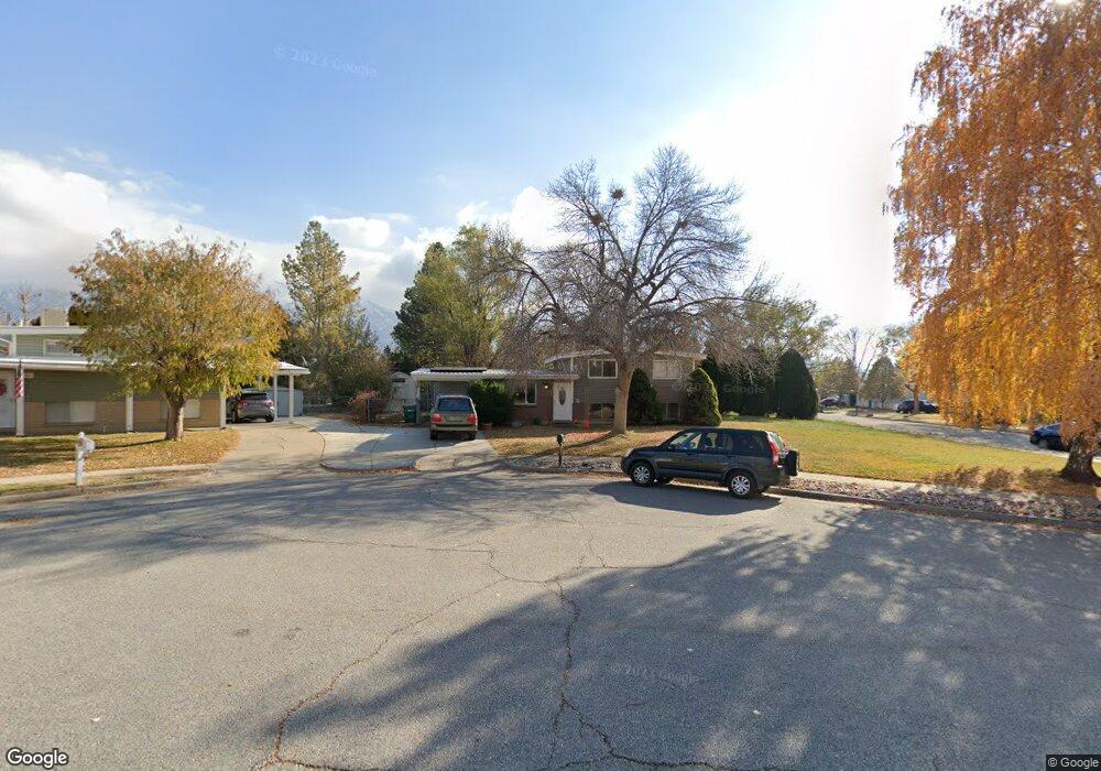
818 Poplar Cir Layton, UT 84041
Estimated Value: $403,000 - $433,000
4
Beds
3
Baths
1,668
Sq Ft
$251/Sq Ft
Est. Value
About This Home
This home is located at 818 Poplar Cir, Layton, UT 84041 and is currently estimated at $418,184, approximately $250 per square foot. 818 Poplar Cir is a home located in Davis County with nearby schools including King Elementary School, Central Davis Junior High School, and Layton High School.
Ownership History
Date
Name
Owned For
Owner Type
Purchase Details
Closed on
Jul 25, 2022
Sold by
Buday Thomas E
Bought by
Olson Micah Daniel and Olson Cheyenne A
Current Estimated Value
Home Financials for this Owner
Home Financials are based on the most recent Mortgage that was taken out on this home.
Original Mortgage
$391,991
Outstanding Balance
$375,154
Interest Rate
5.81%
Mortgage Type
FHA
Estimated Equity
$43,030
Purchase Details
Closed on
Jul 2, 2020
Sold by
King Robert M and King Elizabeth M
Bought by
Buday Thomas F
Home Financials for this Owner
Home Financials are based on the most recent Mortgage that was taken out on this home.
Original Mortgage
$268,324
Interest Rate
3.1%
Mortgage Type
VA
Purchase Details
Closed on
Sep 12, 2011
Sold by
King Robert M and King Elizabeth M
Bought by
King Robert M and King Elizabeth M
Create a Home Valuation Report for This Property
The Home Valuation Report is an in-depth analysis detailing your home's value as well as a comparison with similar homes in the area
Home Values in the Area
Average Home Value in this Area
Purchase History
| Date | Buyer | Sale Price | Title Company |
|---|---|---|---|
| Olson Micah Daniel | -- | Rudd & Hawkes Title | |
| Buday Thomas F | -- | Backman Title Service | |
| King Robert M | -- | Accommodation |
Source: Public Records
Mortgage History
| Date | Status | Borrower | Loan Amount |
|---|---|---|---|
| Open | Olson Micah Daniel | $391,991 | |
| Previous Owner | Buday Thomas F | $268,324 |
Source: Public Records
Tax History Compared to Growth
Tax History
| Year | Tax Paid | Tax Assessment Tax Assessment Total Assessment is a certain percentage of the fair market value that is determined by local assessors to be the total taxable value of land and additions on the property. | Land | Improvement |
|---|---|---|---|---|
| 2025 | $1,986 | $208,450 | $111,503 | $96,947 |
| 2024 | $1,904 | $201,300 | $129,654 | $71,646 |
| 2023 | $1,883 | $351,000 | $151,672 | $199,328 |
| 2022 | $1,896 | $191,950 | $80,925 | $111,025 |
| 2021 | $1,696 | $256,000 | $115,482 | $140,518 |
| 2020 | $1,464 | $212,000 | $96,339 | $115,661 |
| 2019 | $1,445 | $205,000 | $90,749 | $114,251 |
| 2018 | $1,292 | $184,000 | $90,749 | $93,251 |
| 2016 | $1,123 | $82,500 | $29,857 | $52,643 |
| 2015 | $1,056 | $73,645 | $29,857 | $43,788 |
| 2014 | $1,122 | $79,995 | $29,857 | $50,138 |
| 2013 | -- | $68,750 | $18,612 | $50,138 |
Source: Public Records
Map
Nearby Homes
- 794 Valeria Dr
- 654 Colonial St
- 785 Sherwood Dr
- 857 E 575 N
- 861 E 575 N
- 556 N Fairfield Rd Unit A2
- 556 N Fairfield Rd Unit D1
- 556 N Fairfield Rd Unit D2
- 556 N Fairfield Rd Unit A3
- 556 N Fairfield Rd Unit D3
- 556 N Fairfield Rd Unit D4
- 556 N Fairfield Rd Unit A1
- 556 N Fairfield Rd Unit A4
- 508 N Adamswood Rd
- 1200 Church St Unit 66
- 880 E 350 N
- 580 N Allanwood Place
- 1122 E 1250 N
- 479 N 1375 E
- 118 E 950 N
- 777 Aspen East Dr
- 820 Poplar Cir
- 821 Maplewood Cir
- 774 E 775 N
- 760 E Aspen Dr E
- 774 Aspen E
- 762 Aspen East Dr
- 801 Maplewood Cir
- 774 Aspen East Dr
- 848 Poplar Cir
- 747 Aspen East Dr
- 842 Maplewood Cir
- 847 Poplar Cir
- 847 N 750 E
- 786 Aspen East Dr
- 746 E Aspen Dr E
- 746 Aspen East Dr
- 766 E 900 N
- 750 E 900 N
- 800 Aspen East Dr