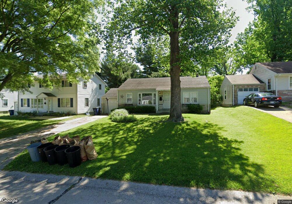
818 Risdon Dr Saint Louis, MO 63135
Estimated Value: $126,470 - $138,000
2
Beds
1
Bath
988
Sq Ft
$135/Sq Ft
Est. Value
About This Home
This home is located at 818 Risdon Dr, Saint Louis, MO 63135 and is currently estimated at $133,618, approximately $135 per square foot. 818 Risdon Dr is a home located in St. Louis County with nearby schools including Lee Hamilton Elementary School, Ferguson Middle School, and McCluer High School.
Ownership History
Date
Name
Owned For
Owner Type
Purchase Details
Closed on
Aug 31, 2005
Sold by
Rowan Randolph H and Rowan Christina
Bought by
Nelke James M
Current Estimated Value
Home Financials for this Owner
Home Financials are based on the most recent Mortgage that was taken out on this home.
Original Mortgage
$90,000
Outstanding Balance
$47,999
Interest Rate
5.8%
Mortgage Type
Fannie Mae Freddie Mac
Estimated Equity
$85,619
Purchase Details
Closed on
Sep 30, 2004
Sold by
Marks Andrew T and Marks Michelle M
Bought by
Rowan Randalph H and Rowan Cristina
Home Financials for this Owner
Home Financials are based on the most recent Mortgage that was taken out on this home.
Original Mortgage
$55,000
Interest Rate
5.81%
Mortgage Type
Purchase Money Mortgage
Create a Home Valuation Report for This Property
The Home Valuation Report is an in-depth analysis detailing your home's value as well as a comparison with similar homes in the area
Home Values in the Area
Average Home Value in this Area
Purchase History
| Date | Buyer | Sale Price | Title Company |
|---|---|---|---|
| Nelke James M | $112,500 | -- | |
| Rowan Randalph H | $95,000 | -- |
Source: Public Records
Mortgage History
| Date | Status | Borrower | Loan Amount |
|---|---|---|---|
| Open | Nelke James M | $90,000 | |
| Previous Owner | Rowan Randalph H | $55,000 |
Source: Public Records
Tax History
| Year | Tax Paid | Tax Assessment Tax Assessment Total Assessment is a certain percentage of the fair market value that is determined by local assessors to be the total taxable value of land and additions on the property. | Land | Improvement |
|---|---|---|---|---|
| 2025 | $1,600 | $24,110 | $3,340 | $20,770 |
| 2024 | $1,600 | $22,060 | $3,000 | $19,060 |
| 2023 | $1,591 | $22,060 | $3,000 | $19,060 |
| 2022 | $1,551 | $18,740 | $3,840 | $14,900 |
| 2021 | $1,502 | $18,740 | $3,840 | $14,900 |
| 2020 | $1,302 | $14,570 | $2,850 | $11,720 |
| 2019 | $1,278 | $14,570 | $2,850 | $11,720 |
| 2018 | $1,163 | $11,800 | $2,510 | $9,290 |
| 2017 | $1,140 | $11,800 | $2,510 | $9,290 |
| 2016 | $1,279 | $13,060 | $2,510 | $10,550 |
Source: Public Records
Map
Nearby Homes
- 6 Sandringham Ln
- 35 E Cardigan Dr
- 7 Bromley Dr
- 62 W Cardigan Dr
- 410 Robert Ave
- 35 Robert Ave
- 700 N Elizabeth Ave
- 435 N Clay Ave
- 820 N Elizabeth Ave
- 847 N Florissant Rd
- 127 Thoroughman Ave
- 206 Thoroughman Ave
- 315 Royal Ave
- 406 Teston Dr
- 705 Palace Ct
- 613 Plantmore Dr
- 631 Robert Ave
- 509 Royal Ave
- 610 Superior Dr
- 439 Warford Ave
Your Personal Tour Guide
Ask me questions while you tour the home.