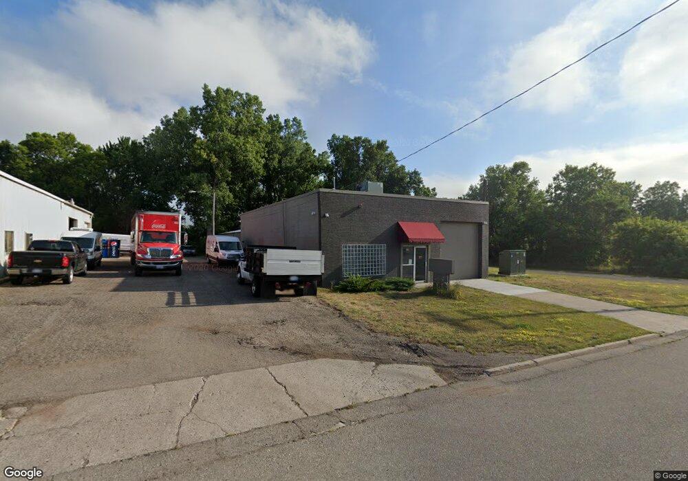
818 Terminal Rd Lansing, MI 48906
Creston NeighborhoodEstimated Value: $247,990
Studio
--
Bath
624
Sq Ft
$397/Sq Ft
Est. Value
About This Home
This home is located at 818 Terminal Rd, Lansing, MI 48906 and is currently estimated at $247,990, approximately $397 per square foot. 818 Terminal Rd is a home located in Ingham County with nearby schools including Gier Park School, Pattengill Academy, and Eastern High School.
Ownership History
Date
Name
Owned For
Owner Type
Purchase Details
Closed on
Dec 21, 2021
Sold by
Usman Property Management Llc
Bought by
Pg Asset Management A Llc
Current Estimated Value
Purchase Details
Closed on
Aug 11, 2020
Sold by
Hanks Steven W
Bought by
Usman Prroperty Management Llc
Purchase Details
Closed on
Sep 12, 2014
Sold by
Schertzing Eric
Bought by
Steve Hanks Trust
Create a Home Valuation Report for This Property
The Home Valuation Report is an in-depth analysis detailing your home's value as well as a comparison with similar homes in the area
Home Values in the Area
Average Home Value in this Area
Purchase History
| Date | Buyer | Sale Price | Title Company |
|---|---|---|---|
| Pg Asset Management A Llc | -- | Siegal Micah M | |
| Usman Prroperty Management Llc | $151,200 | Bell Title Agency Of Okemos | |
| Steve Hanks Trust | $46,000 | None Available |
Source: Public Records
Tax History
| Year | Tax Paid | Tax Assessment Tax Assessment Total Assessment is a certain percentage of the fair market value that is determined by local assessors to be the total taxable value of land and additions on the property. | Land | Improvement |
|---|---|---|---|---|
| 2025 | $6,316 | $86,200 | $14,600 | $71,600 |
| 2024 | $55 | $79,700 | $14,600 | $65,100 |
| 2023 | $5,934 | $74,400 | $14,400 | $60,000 |
| 2022 | $5,458 | $71,600 | $12,700 | $58,900 |
| 2021 | $5,143 | $68,200 | $11,000 | $57,200 |
| 2020 | $5,075 | $66,600 | $11,000 | $55,600 |
| 2019 | $4,936 | $64,300 | $10,000 | $54,300 |
| 2018 | $4,791 | $69,900 | $18,800 | $51,100 |
| 2017 | $5,093 | $69,900 | $18,800 | $51,100 |
| 2016 | $9,495 | $70,300 | $18,800 | $51,500 |
| 2015 | $9,495 | $70,500 | $37,523 | $32,977 |
| 2014 | $9,495 | $69,400 | $37,523 | $31,877 |
Source: Public Records
Map
Nearby Homes
- 627 W Frederick Ave
- 714 W Sheridan Rd
- 16967 Jones Lake Rd
- 504 W Fairfield Ave
- 1344 Marquette St
- 1436 Marquette St
- 2729 N Martin Luther King jr Blvd
- 310 W Frederick Ave
- 1515 Biltmore Blvd
- 3425 Turner Rd
- 3021 N Grand River Ave
- 2701 Creston Ave
- 134 Desander Dr Unit 134
- 2403 Turner St
- 82 Nettie Ave Unit 82
- 86 Nettie Ave Unit 86
- 2617 Edgebrook Dr
- 93 Nettie Ave Unit 93
- 92 Nettie Ave Unit 92
- 27 Beejay Dr Unit 27
- 815 Terminal Rd
- 924 Terminal Rd
- 720 Terminal Rd
- 921 Terminal Rd
- 668 Carrier St
- 662 Carrier St
- 663 W Fairfield Ave
- 711 Carrier St
- 657 Carrier St
- 652 Carrier St
- 3306 N Martin Luther King Junior Blvd
- 659 W Fairfield Ave
- 3306 N Martin Luther King jr Blvd
- 647 Carrier St
- 642 Carrier St
- 645 W Fairfield Ave
- 3216 N Mlk Blvd
- 643 Carrier St
- 3208 N Mlk Blvd
- 3208 N Martin Luther King jr Blvd
Your Personal Tour Guide
Ask me questions while you tour the home.