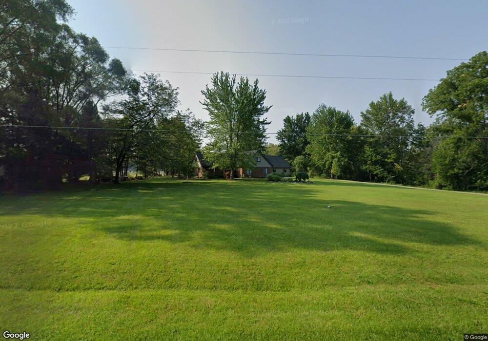
8182 E Curtis Rd Frankenmuth, MI 48734
Estimated Value: $407,000 - $516,000
3
Beds
2
Baths
2,580
Sq Ft
$176/Sq Ft
Est. Value
About This Home
This home is located at 8182 E Curtis Rd, Frankenmuth, MI 48734 and is currently estimated at $454,280, approximately $176 per square foot. 8182 E Curtis Rd is a home with nearby schools including List Elementary, E.F. Rittmueller Middle School, and Frankenmuth High School.
Ownership History
Date
Name
Owned For
Owner Type
Purchase Details
Closed on
Apr 14, 2020
Sold by
Knoll Randall
Bought by
Knoll Randall and Knoll Leah
Current Estimated Value
Home Financials for this Owner
Home Financials are based on the most recent Mortgage that was taken out on this home.
Original Mortgage
$295,000
Outstanding Balance
$201,939
Interest Rate
2.7%
Mortgage Type
New Conventional
Estimated Equity
$252,341
Purchase Details
Closed on
Mar 10, 2008
Sold by
Christiansen Rachel
Bought by
Knoll Randall and Knoll Kimberly
Purchase Details
Closed on
Feb 11, 1999
Sold by
Tarrant Ralph O
Bought by
Tarrant Ralph O and Tarrant Christiansen, R
Create a Home Valuation Report for This Property
The Home Valuation Report is an in-depth analysis detailing your home's value as well as a comparison with similar homes in the area
Purchase History
| Date | Buyer | Sale Price | Title Company |
|---|---|---|---|
| Knoll Randall | -- | None Available | |
| Knoll Randall | $280,000 | -- | |
| Tarrant Ralph O | -- | -- |
Source: Public Records
Mortgage History
| Date | Status | Borrower | Loan Amount |
|---|---|---|---|
| Open | Knoll Randall | $295,000 |
Source: Public Records
Tax History
| Year | Tax Paid | Tax Assessment Tax Assessment Total Assessment is a certain percentage of the fair market value that is determined by local assessors to be the total taxable value of land and additions on the property. | Land | Improvement |
|---|---|---|---|---|
| 2025 | $1,491 | $199,200 | $0 | $0 |
| 2024 | $1,446 | $146,700 | $0 | $0 |
| 2023 | $1,377 | $150,300 | $0 | $0 |
| 2022 | $4,402 | $155,400 | $0 | $0 |
| 2021 | $3,998 | $150,500 | $0 | $0 |
| 2020 | $3,872 | $143,900 | $0 | $0 |
| 2019 | $3,724 | $131,200 | $0 | $0 |
| 2018 | $1,201 | $121,500 | $0 | $0 |
| 2017 | $3,350 | $110,800 | $0 | $0 |
| 2016 | $3,352 | $107,600 | $0 | $0 |
| 2014 | -- | $105,100 | $0 | $66,000 |
| 2013 | -- | $102,700 | $0 | $0 |
Source: Public Records
Map
Nearby Homes
- 6450 Curtis Rd
- 9351 Lange Rd
- 12 Wilshire Dr
- 6 Wilshire Dr Unit A6
- 2 Wilshire Dr Unit A4
- 10 Harlan Ct
- 000 W Tuscola St
- 4705 Weiss Rd
- 640 Heine St
- 53 Pine Grove Dr
- 249 Churchgrove Rd
- Parcel E W Rolling Hills Dr
- Parcel B W Rolling Hills Dr
- Parcel D W Rolling Hills Dr
- Parcel F W Rolling Hills Dr
- Parcel C W Rolling Hills Dr
- 456 Groveland Dr
- 7720 Rookway Rd
- 11 Cambridge Park
- 226 List St
- 8175 E Curtis Rd
- 7065 Maple Rd
- 8350 E Curtis Rd
- 7151 Maple Rd
- 7030 Maple Rd
- 7062 Maple Rd
- 7199 Maple Rd
- 7168 Maple Rd
- 7255 Maple Rd
- 7301 Maple Rd
- 7250 Maple Rd
- 7905 E Curtis Rd
- 7905 E Curtis Rd
- 8470 E Curtis Rd
- 7902 E Curtis Rd
- 8465 E Curtis Rd
- 7290 Maple Rd
- 8490 E Curtis Rd
- 7321 Maple Rd
- 7836 E Curtis Rd
Your Personal Tour Guide
Ask me questions while you tour the home.