8185 Grants Path Gainesville, GA 30506
Estimated Value: $333,000 - $412,000
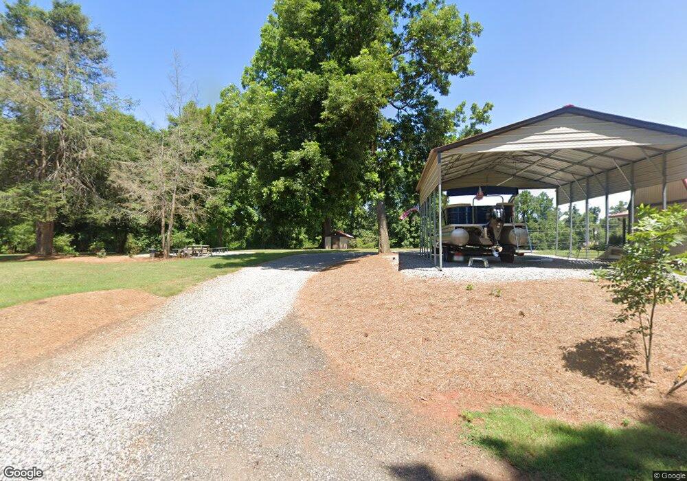
About This Home
This home is located at 8185 Grants Path, Gainesville, GA 30506 and is currently estimated at $369,817, approximately $328 per square foot. 8185 Grants Path is a home located in Forsyth County with nearby schools including Chestatee Elementary School and Little Mill Middle School.
Ownership History
We collect this data history from publicly available records. To have your information removed, we recommend requesting removal directly through your county’s website.
Purchase Details
Purchase Details
Home Values in the Area
Average Home Value in this Area
Purchase History
We collect this data history from publicly available records. To have your information removed, we recommend requesting removal directly through your county’s website.
| Date | Buyer | Sale Price | Title Company |
|---|---|---|---|
| -- | None Listed On Document | ||
| -- | None Listed On Document | ||
| $50,000 | -- |
Tax History
We collect this data history from publicly available records. To have your information removed, we recommend requesting removal directly through your county’s website.
| Year | Tax Paid | Tax Assessment Tax Assessment Total Assessment is a certain percentage of the fair market value that is determined by local assessors to be the total taxable value of land and additions on the property. | Land | Improvement |
|---|---|---|---|---|
| 2025 | $2,244 | $138,540 | $74,216 | $64,324 |
| 2024 | $2,154 | $112,872 | $49,952 | $62,920 |
| 2023 | $1,712 | $108,472 | $49,952 | $58,520 |
| 2022 | $1,993 | $72,552 | $31,400 | $41,152 |
| 2021 | $1,692 | $72,552 | $31,400 | $41,152 |
| 2020 | $1,661 | $71,040 | $31,400 | $39,640 |
| 2019 | $1,514 | $63,788 | $24,264 | $39,524 |
| 2018 | $1,235 | $50,036 | $24,264 | $25,772 |
| 2017 | $1,137 | $45,136 | $21,408 | $23,728 |
| 2016 | $1,046 | $40,856 | $17,128 | $23,728 |
| 2015 | $1,136 | $40,856 | $17,128 | $23,728 |
| 2014 | $1,039 | $39,264 | $0 | $0 |
Map
- 8080 Milford Rd
- 7770 Old Keith Bridge Rd
- 0 Truman Mountain Rd Unit 10690966
- 4860 Dawsonville Hwy
- 8210 Long Knoll Way
- 8345 Beryl Overlook
- 7105 Timberbrooke Dr Unit I
- 8330 Deliah Way
- 4674 Chestatee Heights Rd
- 4565 Dawsonville Hwy
- 0 Crooked Trail Unit 7652725
- 0 Crooked Trail Unit 10608235
- 4985 Truman Mountain Rd
- 8320 Shellie Ln
- 4795 Truman Mountain Rd
- 6005 Antler Dr
- 8220 Sagewood Dr
- 8420 Creekside Overlook Dr
- 5716 Quail Mountain Trail
- 8915 Bay View Ct
- 8180 Grants Path
- 8045 Milford Rd
- 8190 Milford Rd
- 7625 Keith Bridge Rd
- 7565 Keith Bridge Rd
- 7645 Waldrip Rd
- 8560 Keith Bridge Rd
- 7575 Keith Bridge Rd
- 8240 Milford Rd
- 7685 Old Keith Bridge Rd
- 7685 Old Keith Rd
- 8280 Hollyberry Ln
- 7685 Keith Bridge Rd
- 7610 Waldrip Rd
- 5335 Milford Rd Unit 206A
- 5335 Milford Rd
- 5315 Milford Rd Unit 211
- 5315 Milford Rd
- 5327 Milford Rd Unit 208
- 5327 Milford Rd
Ask me questions while you tour the home.