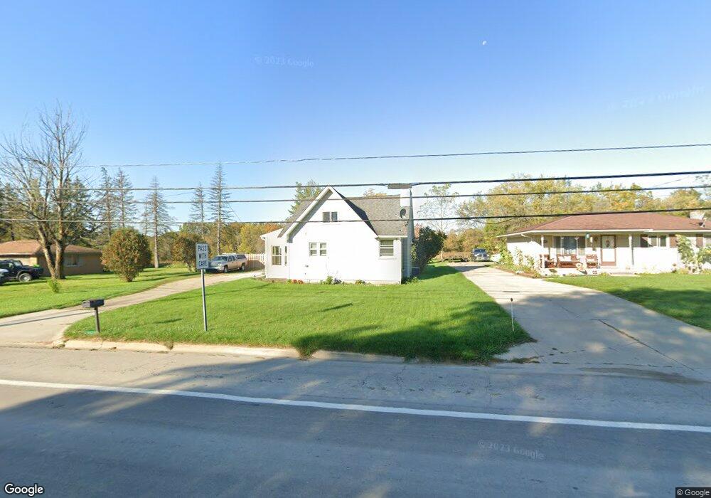
81865 Main St Memphis, MI 48041
Estimated Value: $185,347 - $226,000
3
Beds
1
Bath
1,436
Sq Ft
$142/Sq Ft
Est. Value
About This Home
This home is located at 81865 Main St, Memphis, MI 48041 and is currently estimated at $204,587, approximately $142 per square foot. 81865 Main St is a home located in St. Clair County with nearby schools including Memphis Elementary School and Memphis Junior/Senior High School.
Ownership History
Date
Name
Owned For
Owner Type
Purchase Details
Closed on
Dec 3, 2020
Sold by
Larkin Deborah A
Bought by
Amyot Phillip Kenneth and Amyot Phillip K
Current Estimated Value
Home Financials for this Owner
Home Financials are based on the most recent Mortgage that was taken out on this home.
Original Mortgage
$123,521
Outstanding Balance
$109,971
Interest Rate
2.7%
Mortgage Type
FHA
Estimated Equity
$94,616
Purchase Details
Closed on
Jun 3, 2009
Sold by
Wachovia Bank National Association
Bought by
Us Bank National Association
Purchase Details
Closed on
Oct 23, 2008
Sold by
White Denise
Bought by
Wachovia Bank National Associaton
Create a Home Valuation Report for This Property
The Home Valuation Report is an in-depth analysis detailing your home's value as well as a comparison with similar homes in the area
Home Values in the Area
Average Home Value in this Area
Purchase History
| Date | Buyer | Sale Price | Title Company |
|---|---|---|---|
| Amyot Phillip Kenneth | $125,800 | Ata National Title Group Llc | |
| Us Bank National Association | -- | None Available | |
| Wachovia Bank National Associaton | $66,500 | None Available |
Source: Public Records
Mortgage History
| Date | Status | Borrower | Loan Amount |
|---|---|---|---|
| Open | Amyot Phillip Kenneth | $123,521 |
Source: Public Records
Tax History
| Year | Tax Paid | Tax Assessment Tax Assessment Total Assessment is a certain percentage of the fair market value that is determined by local assessors to be the total taxable value of land and additions on the property. | Land | Improvement |
|---|---|---|---|---|
| 2025 | $2,164 | $70,700 | $0 | $0 |
| 2024 | $2,099 | $74,600 | $0 | $0 |
| 2023 | $2,010 | $71,500 | $0 | $0 |
| 2022 | $2,413 | $58,600 | $0 | $0 |
| 2020 | $1,717 | $59,000 | $59,000 | $0 |
| 2019 | $1,685 | $49,200 | $0 | $0 |
| 2018 | $1,663 | $45,200 | $0 | $0 |
| 2017 | $1,639 | $42,500 | $0 | $0 |
| 2016 | $1,072 | $42,500 | $0 | $0 |
| 2015 | -- | $38,300 | $38,300 | $0 |
| 2014 | -- | $39,300 | $39,300 | $0 |
| 2013 | -- | $43,900 | $0 | $0 |
Source: Public Records
Map
Nearby Homes
- 0 Main St
- 34461 Pratt Rd
- 11146 Gilbert Rd
- 30600 Bordman Rd
- 575 Stoddard Rd
- 00 Belle River Lot Q Rd
- 00 Kroner Rd 4001 - 010 Parcel 2 Roads
- 0 00 Weber Rd 4001-001 Parcel 1 Rd Unit 50159551
- 0 Burgess 040 Rd
- 0 00 Weber Rd 4001 - 080 Parcel 9 Rd
- 0 00 Weber Rd 4001 - 090 Parcel 10 Rd
- 0 00 Kroner Rd 4001 - 040 Parcel 5 Rd Unit 50159557
- 00 Belle River Lot R
- 0 00 Meskill Rd 4001 - 070 Parcel 8 & 1001-000 Rd Unit 50159561
- 0 00 Kroner Rd 4001 - 060 Parcel 7 Rd Unit 50159560
- 0 Bauman Rd Unit 50090600
- 13199 Masters Rd Masters Rd
- 0 Masters Rd
- 1700 Kinney Rd
- 9977 Weber Rd
- 81885 Main St
- 81811 Main St
- 0 Lambs Road Parcel Unit 1 4560672
- 0 Lambs Road Parcel Unit 2 4560673
- 0 Burnell Rd-M19 Parcel Unit 865288
- 81921 Main St
- 81951 Main St
- 81900 Main St
- 81800 Main St
- 81840 Main St
- 0000 Memphis Rd
- 0 Memphis Ridge Rd
- 0 Memphis Rd Unit 213013190
- 0 Memphis Rd Unit 212099107
- 0 Memphis Rd
- 0 Memphis Rd Unit R214030913
- 0 Memphis Rd Unit R215035135
- 0 Memphis Rd Unit G50040891
- 0 Memphis Rd (M-19)
- 0 Memphis Rd Unit 31120806
Your Personal Tour Guide
Ask me questions while you tour the home.