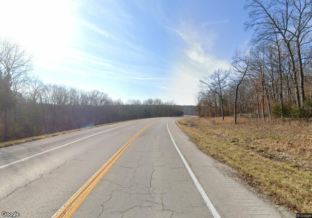
8189 Highway O Villa Ridge, MO 63089
Estimated Value: $271,000 - $533,468
--
Bed
2
Baths
1,788
Sq Ft
$202/Sq Ft
Est. Value
About This Home
This home is located at 8189 Highway O, Villa Ridge, MO 63089 and is currently estimated at $361,117, approximately $201 per square foot. 8189 Highway O is a home located in Franklin County with nearby schools including Pacific High School and Crosspoint Christian School.
Ownership History
Date
Name
Owned For
Owner Type
Purchase Details
Closed on
Jul 5, 2012
Sold by
Beardsley Larry Joe and Beardsley Tamra Lynn
Bought by
Friedmann Jeffrey O and Friedmann Monica M
Current Estimated Value
Purchase Details
Closed on
Mar 28, 2011
Sold by
Henager Edward A and Henager Melody
Bought by
Beardsley Larry Joe and Beardsley Tamra Lynn
Home Financials for this Owner
Home Financials are based on the most recent Mortgage that was taken out on this home.
Original Mortgage
$72,400
Interest Rate
5.06%
Mortgage Type
Purchase Money Mortgage
Create a Home Valuation Report for This Property
The Home Valuation Report is an in-depth analysis detailing your home's value as well as a comparison with similar homes in the area
Home Values in the Area
Average Home Value in this Area
Purchase History
| Date | Buyer | Sale Price | Title Company |
|---|---|---|---|
| Friedmann Jeffrey O | -- | None Available | |
| Beardsley Larry Joe | -- | None Available |
Source: Public Records
Mortgage History
| Date | Status | Borrower | Loan Amount |
|---|---|---|---|
| Previous Owner | Beardsley Larry Joe | $72,400 |
Source: Public Records
Tax History Compared to Growth
Tax History
| Year | Tax Paid | Tax Assessment Tax Assessment Total Assessment is a certain percentage of the fair market value that is determined by local assessors to be the total taxable value of land and additions on the property. | Land | Improvement |
|---|---|---|---|---|
| 2024 | $3,548 | $49,637 | $0 | $0 |
| 2023 | $3,548 | $49,637 | $0 | $0 |
| 2022 | $3,478 | $53,245 | $0 | $0 |
| 2021 | $3,461 | $53,245 | $0 | $0 |
| 2020 | $3,142 | $48,450 | $0 | $0 |
| 2019 | $2,933 | $45,298 | $0 | $0 |
| 2018 | $2,775 | $42,024 | $0 | $0 |
| 2017 | $2,741 | $41,794 | $0 | $0 |
| 2016 | $1,012 | $15,274 | $0 | $0 |
| 2015 | $983 | $15,274 | $0 | $0 |
| 2014 | $967 | $15,274 | $0 | $0 |
Source: Public Records
Map
Nearby Homes
- 202 Remington Rd
- 874 Rocky Trail Rd
- 114 Wheel Estate
- 68 Lyrics Ln
- 0 Rocky Trail Rd
- 0 Clay Stone Dr
- 727 Hickory Trail Rd
- 147 Coventry Valley Rd
- 000 Shawneetown Ford Spur Lot 4
- 618 Carolee Ct
- 156 Old Highway O
- 152 Arborview Dr
- 159 Arborview Dr
- 000 Shawneetown Ford Spur Tract A
- 000 Shawneetown Ford Spur Lot 2
- 000 Shawneetown Ford Spur Lot 3
- 000 Shawneetown Ford Spur Tract D
- 000 Shawneetown Ford Spur Tract B
- 000 Shawneetown Ford Spur Tract C
- 0 Hwy at Unit 23020913
- 8189 Highway O
- 8189 Highway O
- 8189 Highway O
- 8189 Highway O
- 8189 Highway O
- 8183 Highway O
- 8183 Highway O
- 0 Highway Am
- 0 Highway O and Am Unit 19033844
- 1121 Highway Am
- 1130 Highway Am
- 1050 Saint Marys Rd
- 1059 Saint Marys Rd
- 1059 Saint Marys Rd
- 1066 Saint Marys Rd
- 8146 Highway O
- 1136 Highway Am
- 1046 Saint Marys Rd
- 1111 Highway Am
- 8139 Highway O
