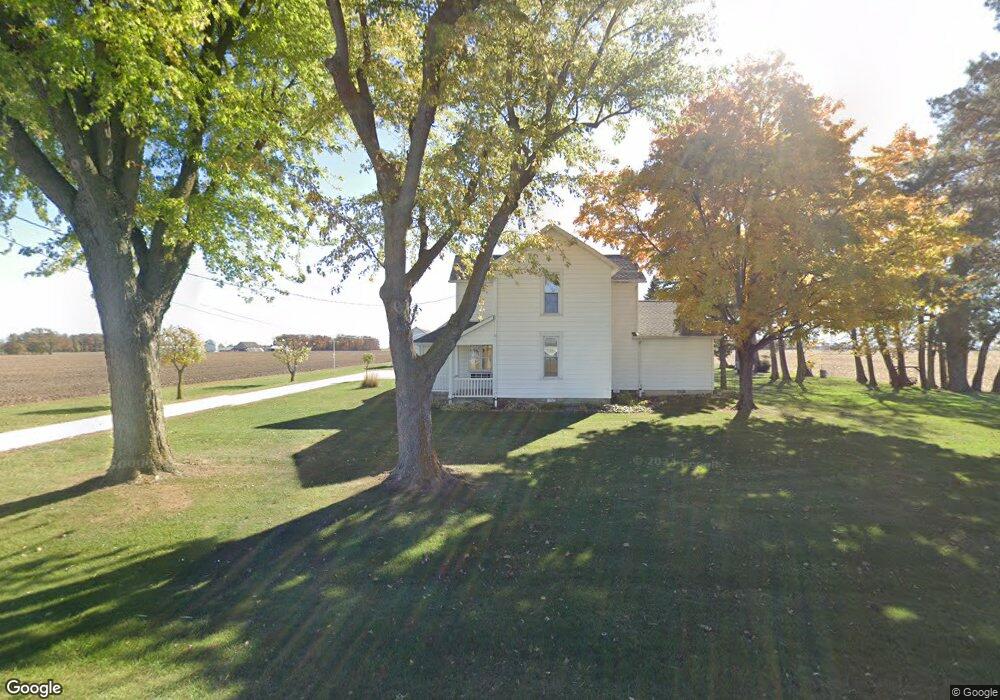
8189 State Route 705 Yorkshire, OH 45388
Estimated Value: $268,000 - $344,352
4
Beds
1
Bath
2,512
Sq Ft
$123/Sq Ft
Est. Value
About This Home
This home is located at 8189 State Route 705, Yorkshire, OH 45388 and is currently estimated at $309,088, approximately $123 per square foot. 8189 State Route 705 is a home located in Darke County.
Ownership History
Date
Name
Owned For
Owner Type
Purchase Details
Closed on
May 2, 1997
Sold by
Liening Marie B
Bought by
Liening John B
Current Estimated Value
Home Financials for this Owner
Home Financials are based on the most recent Mortgage that was taken out on this home.
Original Mortgage
$60,000
Outstanding Balance
$8,253
Interest Rate
8.05%
Mortgage Type
New Conventional
Estimated Equity
$300,835
Create a Home Valuation Report for This Property
The Home Valuation Report is an in-depth analysis detailing your home's value as well as a comparison with similar homes in the area
Home Values in the Area
Average Home Value in this Area
Purchase History
| Date | Buyer | Sale Price | Title Company |
|---|---|---|---|
| Liening John B | $90,000 | -- |
Source: Public Records
Mortgage History
| Date | Status | Borrower | Loan Amount |
|---|---|---|---|
| Open | Liening John B | $60,000 |
Source: Public Records
Tax History Compared to Growth
Tax History
| Year | Tax Paid | Tax Assessment Tax Assessment Total Assessment is a certain percentage of the fair market value that is determined by local assessors to be the total taxable value of land and additions on the property. | Land | Improvement |
|---|---|---|---|---|
| 2024 | $3,100 | $84,980 | $18,750 | $66,230 |
| 2023 | $3,102 | $84,980 | $18,750 | $66,230 |
| 2022 | $2,685 | $71,730 | $16,460 | $55,270 |
| 2021 | $2,736 | $71,730 | $16,460 | $55,270 |
| 2020 | $2,598 | $67,950 | $16,460 | $51,490 |
| 2019 | $2,280 | $58,650 | $15,750 | $42,900 |
| 2018 | $2,378 | $58,650 | $15,750 | $42,900 |
| 2017 | $1,711 | $58,650 | $15,750 | $42,900 |
| 2016 | $1,686 | $42,430 | $13,880 | $28,550 |
| 2015 | $1,686 | $42,430 | $13,880 | $28,550 |
| 2014 | $1,691 | $42,430 | $13,880 | $28,550 |
| 2013 | $1,888 | $42,150 | $13,600 | $28,550 |
Source: Public Records
Map
Nearby Homes
- 159 Mendenhall Rd
- 158 Mendenhall Rd
- 157 Mendenhall Rd
- 139 Liberty Dr
- 136 Liberty Dr
- 140 Liberty Dr
- 135 Veterans Dr
- 137 Liberty Dr
- 138 Liberty Dr
- 155 Liberty Dr
- 143 Liberty Dr
- 156 Veterans Dr
- 144 Liberty Dr
- 153 Liberty Dr
- 141 Liberty Dr
- 145 Liberty Dr
- 142 Liberty Dr
- 154 Liberty Dr
- 151 Brewer Dr
- 149 Brewer Dr
- 14447 Mendenhall Rd
- 14471 Mendenhall Rd
- 8271 State Route 705
- 14525 Mendenhall Rd
- 8106 State Route 705
- 14535 Mendenhall Rd
- 14541 Mendenhall Rd
- 14541 Mendenhall Rd
- 14545 Mendenhall Rd
- 8293 State Route 705
- 370 Bohman Dr
- 385 Bohman Dr
- 365 Bohman Dr
- 8311 State Route 705
- 128 Westwood Dr
- 350 Bohman Dr
- 127 Westwood Dr
- 8335 State Route 705
- 345 Bohman Dr
- 126 Westwood Dr