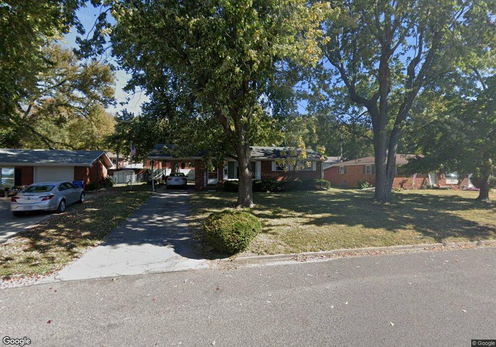
819 Amherst Dr East Alton, IL 62024
Estimated Value: $93,884 - $136,000
3
Beds
1
Bath
912
Sq Ft
$132/Sq Ft
Est. Value
About This Home
This home is located at 819 Amherst Dr, East Alton, IL 62024 and is currently estimated at $119,971, approximately $131 per square foot. 819 Amherst Dr is a home located in Madison County with nearby schools including Eastwood Elementary School, East Alton Middle School, and East Alton-Wood River High School.
Ownership History
Date
Name
Owned For
Owner Type
Purchase Details
Closed on
Mar 22, 2024
Sold by
Killebrew Deborah A
Bought by
Killebrew Trust
Current Estimated Value
Purchase Details
Closed on
Aug 8, 2012
Sold by
Ginther Nancy K and Lamer Gail E
Bought by
Gyorkos Deborah A
Home Financials for this Owner
Home Financials are based on the most recent Mortgage that was taken out on this home.
Original Mortgage
$58,000
Interest Rate
3.65%
Mortgage Type
New Conventional
Create a Home Valuation Report for This Property
The Home Valuation Report is an in-depth analysis detailing your home's value as well as a comparison with similar homes in the area
Home Values in the Area
Average Home Value in this Area
Purchase History
| Date | Buyer | Sale Price | Title Company |
|---|---|---|---|
| Killebrew Trust | -- | None Available | |
| Gyorkos Deborah A | $68,000 | Serenity Title & Escrow Ltd |
Source: Public Records
Mortgage History
| Date | Status | Borrower | Loan Amount |
|---|---|---|---|
| Previous Owner | Gyorkos Deborah A | $58,000 |
Source: Public Records
Tax History Compared to Growth
Tax History
| Year | Tax Paid | Tax Assessment Tax Assessment Total Assessment is a certain percentage of the fair market value that is determined by local assessors to be the total taxable value of land and additions on the property. | Land | Improvement |
|---|---|---|---|---|
| 2024 | $2,538 | $30,830 | $5,200 | $25,630 |
| 2023 | $2,538 | $28,740 | $4,850 | $23,890 |
| 2022 | $2,370 | $26,530 | $4,480 | $22,050 |
| 2021 | $2,162 | $24,730 | $4,180 | $20,550 |
| 2020 | $2,071 | $23,820 | $4,030 | $19,790 |
| 2019 | $2,031 | $23,110 | $3,910 | $19,200 |
| 2018 | $1,978 | $21,970 | $3,720 | $18,250 |
| 2017 | $1,835 | $21,440 | $3,630 | $17,810 |
| 2016 | $1,809 | $21,440 | $3,630 | $17,810 |
| 2015 | $1,732 | $21,210 | $3,590 | $17,620 |
| 2014 | $1,732 | $21,210 | $3,590 | $17,620 |
| 2013 | $1,732 | $21,510 | $3,640 | $17,870 |
Source: Public Records
Map
Nearby Homes
- 283 Hi Pointe Place
- 250 Hi Pointe Place
- 604 Wood River Ave
- 345 Illinois Ave
- 104 Whitelaw Ave
- 121 Whitelaw Ave
- 959 Cedar Dr
- 98 Wood River Ave
- 523 Lincoln Ave
- 133 Lincoln Ave
- 420 Bowman Ave
- 523 Wilson Ave
- 211 S 9th St
- 141 S 9th St
- 144 S 9th St
- 225 Lakeside Ave
- 833 State St
- 777 Condit St
- 523 Broadway
- 209 Elble Ave
- 821 Amherst Dr
- 817 Amherst Dr
- 824 Bee Tree Ln
- 826 Bee Tree Ln
- 823 Amherst Dr
- 822 Bee Tree Ln
- 815 Amherst Dr
- 828 Bee Tree Ln
- 816 Amherst Dr
- 818 Amherst Dr
- 814 Amherst Dr
- 825 Amherst Dr
- 820 Amherst Dr
- 830 Bee Tree Ln
- 812 Amherst Dr
- 813 Amherst Dr
- 818 Bee Tree Ln
- 822 Amherst Dr
- 832 Bee Tree Ln
- 827 Amherst Dr