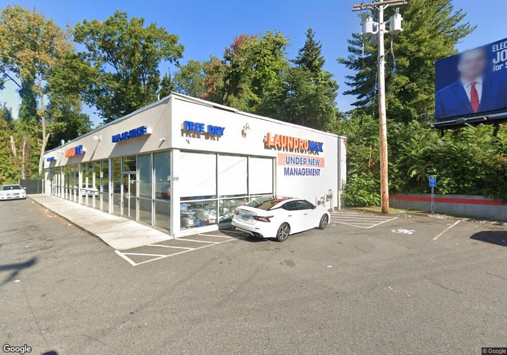
819 Boston Post Rd West Haven, CT 06516
Allingtown NeighborhoodEstimated Value: $792,550
3
Beds
3
Baths
4,214
Sq Ft
$188/Sq Ft
Est. Value
About This Home
This home is located at 819 Boston Post Rd, West Haven, CT 06516 and is currently estimated at $792,550, approximately $188 per square foot. 819 Boston Post Rd is a home located in New Haven County with nearby schools including Carrigan 5/6 Intermediate School, Harry M. Bailey Middle School, and West Haven High School.
Ownership History
Date
Name
Owned For
Owner Type
Purchase Details
Closed on
Aug 17, 2017
Sold by
819 Orange Ave Llc
Bought by
Uh 819 Boston Post Llc
Current Estimated Value
Purchase Details
Closed on
Aug 27, 2015
Sold by
Systems Engineering La
Bought by
Saint Basil Llc
Create a Home Valuation Report for This Property
The Home Valuation Report is an in-depth analysis detailing your home's value as well as a comparison with similar homes in the area
Home Values in the Area
Average Home Value in this Area
Purchase History
| Date | Buyer | Sale Price | Title Company |
|---|---|---|---|
| Uh 819 Boston Post Llc | $425,000 | -- | |
| Uh 819 Boston Post Llc | $425,000 | -- | |
| Saint Basil Llc | $70,100 | -- | |
| Saint Basil Llc | $70,100 | -- |
Source: Public Records
Mortgage History
| Date | Status | Borrower | Loan Amount |
|---|---|---|---|
| Previous Owner | Saint Basil Llc | $265,000 | |
| Previous Owner | Saint Basil Llc | $1,841,000 | |
| Previous Owner | Saint Basil Llc | $270,000 |
Source: Public Records
Tax History Compared to Growth
Tax History
| Year | Tax Paid | Tax Assessment Tax Assessment Total Assessment is a certain percentage of the fair market value that is determined by local assessors to be the total taxable value of land and additions on the property. | Land | Improvement |
|---|---|---|---|---|
| 2025 | $16,735 | $465,850 | $201,320 | $264,530 |
| 2024 | $21,180 | $442,260 | $191,590 | $250,670 |
| 2023 | $20,530 | $442,260 | $191,590 | $250,670 |
| 2022 | $20,171 | $442,260 | $191,590 | $250,670 |
| 2021 | $20,176 | $442,260 | $191,590 | $250,670 |
| 2020 | $22,088 | $428,890 | $186,900 | $241,990 |
| 2019 | $12,475 | $246,050 | $186,900 | $59,150 |
| 2018 | $12,135 | $246,050 | $186,900 | $59,150 |
| 2017 | $11,756 | $246,050 | $186,900 | $59,150 |
| 2016 | $11,399 | $246,050 | $186,900 | $59,150 |
| 2015 | $11,379 | $279,650 | $182,210 | $97,440 |
| 2014 | $17,054 | $427,630 | $182,210 | $245,420 |
Source: Public Records
Map
Nearby Homes
- 8 Tetlow St
- 1 Rodney St
- 12 Collins Dr
- 39 Medford St
- 23 Lydia St
- 53 Daytona St
- 29 Ipswich St
- 81 Homeside Ave
- 63 Glade St Unit C1
- 149 Canton St Unit 18
- 124 Malcolm Rd
- 89 Coleman St Unit 121
- 9 -31 Overlook St
- 104 Terrace Ave
- 227 W Spring St
- 55 Chauncey St
- 0 Burwell & Woodfield Rd Unit 24051262
- 92 Yates St
- 148 Burwell Rd
- 161 W Spring St Unit C1