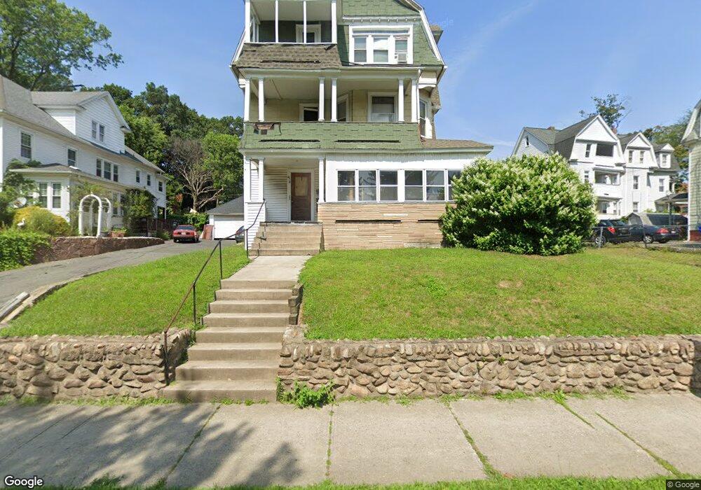
819 Chestnut St Unit 3 Springfield, MA 01107
Liberty Heights NeighborhoodEstimated Value: $267,956 - $455,000
3
Beds
1
Bath
1,600
Sq Ft
$225/Sq Ft
Est. Value
About This Home
This home is located at 819 Chestnut St Unit 3, Springfield, MA 01107 and is currently estimated at $360,239, approximately $225 per square foot. 819 Chestnut St Unit 3 is a home located in Hampden County with nearby schools including High School Of Commerce, Springfield High School of Science and Technology, and Roger L. Putnam Vocational Technical Academy.
Ownership History
Date
Name
Owned For
Owner Type
Purchase Details
Closed on
Sep 24, 2002
Sold by
Bryant Evelyn J
Bought by
Ayala Heriberto
Current Estimated Value
Home Financials for this Owner
Home Financials are based on the most recent Mortgage that was taken out on this home.
Original Mortgage
$102,106
Outstanding Balance
$43,027
Interest Rate
6.36%
Mortgage Type
Purchase Money Mortgage
Estimated Equity
$317,212
Create a Home Valuation Report for This Property
The Home Valuation Report is an in-depth analysis detailing your home's value as well as a comparison with similar homes in the area
Home Values in the Area
Average Home Value in this Area
Purchase History
| Date | Buyer | Sale Price | Title Company |
|---|---|---|---|
| Ayala Heriberto | $107,480 | -- |
Source: Public Records
Mortgage History
| Date | Status | Borrower | Loan Amount |
|---|---|---|---|
| Open | Ayala Heriberto | $102,106 | |
| Previous Owner | Ayala Heriberto | $25,000 |
Source: Public Records
Tax History
| Year | Tax Paid | Tax Assessment Tax Assessment Total Assessment is a certain percentage of the fair market value that is determined by local assessors to be the total taxable value of land and additions on the property. | Land | Improvement |
|---|---|---|---|---|
| 2025 | $4,818 | $307,300 | $31,500 | $275,800 |
| 2024 | $4,474 | $278,600 | $31,500 | $247,100 |
| 2023 | $3,192 | $187,200 | $28,700 | $158,500 |
| 2022 | $3,877 | $206,000 | $26,800 | $179,200 |
| 2021 | $4,094 | $216,600 | $24,300 | $192,300 |
| 2020 | $3,740 | $191,500 | $24,300 | $167,200 |
| 2019 | $3,357 | $170,600 | $24,300 | $146,300 |
| 2018 | $3,141 | $159,600 | $24,300 | $135,300 |
| 2017 | $2,894 | $147,200 | $17,700 | $129,500 |
| 2016 | $2,695 | $137,100 | $17,700 | $119,400 |
| 2015 | $2,620 | $133,200 | $17,700 | $115,500 |
Source: Public Records
Map
Nearby Homes
- 51 Candice Cir
- 2942-2946 Main St
- 24 Cunningham St
- 26 Huntington St
- 57 Narragansett St
- 49-53 Jefferson Ave
- 211-213 Chapin Terrace
- 78 Prospect St
- 52 Osgood St
- 26 Hebron St
- 51-53 Abbe Ave
- 13 Ringgold St
- 62 Washburn St
- 78 Lowell St
- 571-573 Carew St
- 572 Springfield St
- 118 Wait St
- 103 Ontario St
- 121 Wait St
- 708-710 Carew St
- 819 Chestnut St
- 825 Chestnut St Unit 827
- 18 Springfield St Unit 20
- 18 Springfield St Unit 18
- 14 Springfield St
- 6 Springfield St
- 20 Springfield St
- 833 Chestnut St
- 63 Merwin St Unit 65
- 30 Springfield St
- 843 Chestnut St
- 838 Chestnut St
- 57 Merwin St
- 842 Chestnut St Unit 844
- 56 Merwin St
- 26 Atwater Terrace
- 51 Merwin St
- 0 Atwater Terrace
- 850 Chestnut St Unit 852
- 853 Chestnut St