819 Cross Point Rd Edgecomb, ME 04556
Estimated Value: $591,000 - $698,000
Studio
--
Bath
768
Sq Ft
$831/Sq Ft
Est. Value
About This Home
This home is located at 819 Cross Point Rd, Edgecomb, ME 04556 and is currently estimated at $638,409, approximately $831 per square foot. 819 Cross Point Rd is a home with nearby schools including Edgecomb Eddy School.
Ownership History
Date
Name
Owned For
Owner Type
Purchase Details
Closed on
Aug 20, 2013
Sold by
Reed Arthur E and Reed Alan W
Bought by
Robinson Frederick R and Robinson Amy R
Current Estimated Value
Home Financials for this Owner
Home Financials are based on the most recent Mortgage that was taken out on this home.
Original Mortgage
$157,500
Outstanding Balance
$115,665
Interest Rate
4.31%
Mortgage Type
New Conventional
Estimated Equity
$522,744
Create a Home Valuation Report for This Property
The Home Valuation Report is an in-depth analysis detailing your home's value as well as a comparison with similar homes in the area
Home Values in the Area
Average Home Value in this Area
Purchase History
| Date | Buyer | Sale Price | Title Company |
|---|---|---|---|
| Robinson Frederick R | -- | -- | |
| Robinson Frederick R | -- | -- |
Source: Public Records
Mortgage History
| Date | Status | Borrower | Loan Amount |
|---|---|---|---|
| Open | Robinson Frederick R | $157,500 | |
| Closed | Robinson Frederick R | $157,500 |
Source: Public Records
Tax History
| Year | Tax Paid | Tax Assessment Tax Assessment Total Assessment is a certain percentage of the fair market value that is determined by local assessors to be the total taxable value of land and additions on the property. | Land | Improvement |
|---|---|---|---|---|
| 2025 | $7,553 | $772,334 | $563,504 | $208,830 |
| 2024 | $7,383 | $335,888 | $199,628 | $136,260 |
| 2023 | $5,609 | $335,888 | $199,628 | $136,260 |
| 2022 | $5,412 | $335,129 | $199,628 | $135,501 |
| 2021 | $4,597 | $263,420 | $199,628 | $63,792 |
| 2020 | $4,726 | $263,420 | $199,628 | $63,792 |
| 2019 | $4,892 | $263,420 | $199,628 | $63,792 |
| 2018 | $4,504 | $263,420 | $199,628 | $63,792 |
| 2017 | $4,420 | $263,420 | $199,628 | $63,792 |
| 2015 | $4,004 | $263,420 | $199,628 | $63,792 |
| 2013 | $3,464 | $263,420 | $199,628 | $63,792 |
Source: Public Records
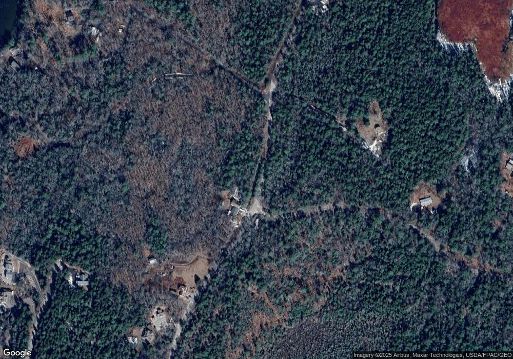
Map
Nearby Homes
- 13 Porcupine Ln
- 30 Taylor Rd
- 575 Main Rd
- 27 Doggett Rd
- 50 Bunchberry Ln
- 0 Maine 144
- 576 Back River Rd
- 23 Sunny Acres Ln
- 208 Youngs Point Rd
- 29 Wiscasset Rd
- 22-E Peaceful Acres
- 96 Forest Haven Rd
- 664 Boothbay Rd
- 5 Hillside Place Unit 2
- 85 Shady Ln
- 24 Jason Cir
- 340 Birch Point Rd
- 00 Maine 27
- 8 Wawenock Rd
- Lot 1 Sanders Rd
- 34 Quarry Point Rd
- 32 Quarry Point Rd
- 23 Quarry Farm
- 23 Quarry Point Rd
- 0 Quarry Point Rd
- 6 Quarry Farm Rd
- 981 Cross Point Rd
- 6 Quarry Point Rd
- 5 Quarry Point Rd
- 5 Quarry Point Rd
- 5 Quarry Farm Rd
- 982 Cross Point Rd
- 3240 Cross Point Rd
- 885 Cross Point Rd
- 20 Quarry Farm Rd
- 22 Quarry Farm
- 28 Quarry Farm Rd
- 30 Quarry Farm Rd
- 00 Quarry Point Rd
- Lot 22 Quarry Farm Rd
Your Personal Tour Guide
Ask me questions while you tour the home.