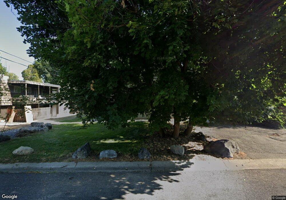
819 E 100 N Logan, UT 84321
Wilson NeighborhoodEstimated Value: $750,000 - $825,000
Studio
--
Bath
3,792
Sq Ft
$207/Sq Ft
Est. Value
About This Home
This home is located at 819 E 100 N, Logan, UT 84321 and is currently estimated at $785,667, approximately $207 per square foot. 819 E 100 N is a home with nearby schools including Wilson School, Mount Logan Middle School, and Logan High School.
Ownership History
Date
Name
Owned For
Owner Type
Purchase Details
Closed on
Mar 29, 2021
Sold by
Jones Duane and Jones Bonnie Ruth
Bought by
Jones Kevin and Associates Property Management
Current Estimated Value
Purchase Details
Closed on
Mar 25, 2021
Sold by
Jones Kevin A and Jones Chirle B
Bought by
Kevin Jones And Associates Prop Mgmt Llc
Purchase Details
Closed on
Sep 16, 2020
Sold by
Jones Kevin and Loma H Jones Living Trust
Bought by
Kevin Jones & Assc Prop Management Llc
Purchase Details
Closed on
Dec 19, 2007
Sold by
Jones Loma H and Jones Duane
Bought by
Jones Loma H and Jones Duane
Purchase Details
Closed on
Nov 29, 2007
Sold by
Jones Loma H
Bought by
Jones Loma H and Jones Kevin
Create a Home Valuation Report for This Property
The Home Valuation Report is an in-depth analysis detailing your home's value as well as a comparison with similar homes in the area
Home Values in the Area
Average Home Value in this Area
Purchase History
| Date | Buyer | Sale Price | Title Company |
|---|---|---|---|
| Jones Kevin | -- | None Available | |
| Kevin Jones And Associates Prop Mgmt Llc | -- | None Available | |
| Kevin Jones & Assc Prop Management Llc | -- | None Available | |
| Jones Loma H | -- | None Available | |
| Jones Loma H | -- | None Available |
Source: Public Records
Tax History
| Year | Tax Paid | Tax Assessment Tax Assessment Total Assessment is a certain percentage of the fair market value that is determined by local assessors to be the total taxable value of land and additions on the property. | Land | Improvement |
|---|---|---|---|---|
| 2025 | $3,116 | $732,670 | $219,300 | $513,370 |
| 2023 | $3,355 | $728,370 | $215,000 | $513,370 |
| 2022 | $3,186 | $645,770 | $132,400 | $513,370 |
| 2021 | $3,478 | $599,100 | $132,400 | $466,700 |
| 2020 | $2,627 | $407,300 | $90,000 | $317,300 |
| 2019 | $2,746 | $407,300 | $90,000 | $317,300 |
| 2018 | $3,005 | $406,896 | $70,000 | $336,896 |
| 2017 | $2,810 | $201,190 | $0 | $0 |
| 2016 | $2,913 | $127,105 | $0 | $0 |
| 2015 | $1,843 | $127,105 | $0 | $0 |
| 2014 | $1,666 | $127,105 | $0 | $0 |
| 2013 | -- | $118,350 | $0 | $0 |
Source: Public Records
Map
Nearby Homes
- 70 River Pointe Dr
- 28 River Pointe Dr
- 684 Apple Dr
- 45 River Circle Dr
- 2758 N Canyon Cove Dr
- 2738 N Canyon Cove Dr
- 1034 Thrushwood Dr
- 1045 Fox Farm Rd
- 545 E Boulevard St
- 227 N 400 E
- 449 E 200 S
- 331 N 400 E
- 440 N 400 E
- 426 E 200 S
- 128 S 1170 E
- 454 N 400 E
- 661 E 600 N
- 665 E 400 S
- 255 E 200 N
- 631 E 600 N