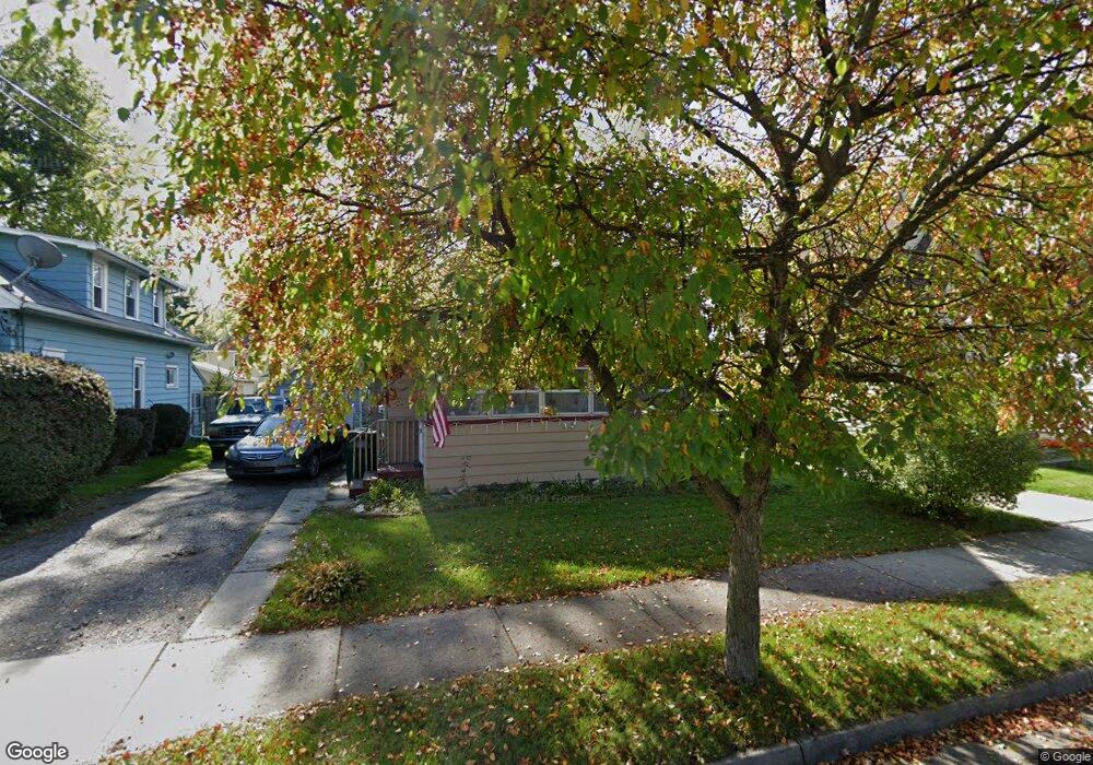
819 Lenore Ave Lansing, MI 48910
Greencroft Park NeighborhoodEstimated Value: $104,000 - $122,000
3
Beds
2
Baths
931
Sq Ft
$121/Sq Ft
Est. Value
About This Home
This home is located at 819 Lenore Ave, Lansing, MI 48910 and is currently estimated at $112,504, approximately $120 per square foot. 819 Lenore Ave is a home located in Ingham County with nearby schools including Averill Elementary School, Attwood School, and J.W. Sexton High School.
Ownership History
Date
Name
Owned For
Owner Type
Purchase Details
Closed on
Sep 4, 2012
Sold by
Sutton Brian
Bought by
Sutton Brian and Sutton Holly
Current Estimated Value
Purchase Details
Closed on
Jun 12, 2009
Sold by
Donovan Shaun
Bought by
Sutton Brian
Purchase Details
Closed on
Dec 8, 2008
Sold by
Wells Fargo Bank Na
Bought by
The Secretary Of Housing & Urban Develop
Purchase Details
Closed on
Nov 6, 2008
Sold by
Peterson Danny E and Peterson Lena M
Bought by
Wells Fargo Bank Na
Purchase Details
Closed on
Sep 1, 1999
Sold by
Adams Ronald W and Adams Cynthia H
Bought by
Peterson Danny E and Peterson Lena M
Home Financials for this Owner
Home Financials are based on the most recent Mortgage that was taken out on this home.
Original Mortgage
$57,426
Interest Rate
7.77%
Mortgage Type
FHA
Create a Home Valuation Report for This Property
The Home Valuation Report is an in-depth analysis detailing your home's value as well as a comparison with similar homes in the area
Home Values in the Area
Average Home Value in this Area
Purchase History
| Date | Buyer | Sale Price | Title Company |
|---|---|---|---|
| Sutton Brian | -- | None Available | |
| Sutton Brian | $18,100 | None Available | |
| The Secretary Of Housing & Urban Develop | -- | None Available | |
| Wells Fargo Bank Na | $57,317 | None Available | |
| Peterson Danny E | $57,900 | Midstate Title Company |
Source: Public Records
Mortgage History
| Date | Status | Borrower | Loan Amount |
|---|---|---|---|
| Previous Owner | Peterson Danny E | $57,426 |
Source: Public Records
Tax History Compared to Growth
Tax History
| Year | Tax Paid | Tax Assessment Tax Assessment Total Assessment is a certain percentage of the fair market value that is determined by local assessors to be the total taxable value of land and additions on the property. | Land | Improvement |
|---|---|---|---|---|
| 2025 | $2,156 | $45,600 | $6,500 | $39,100 |
| 2024 | $2,023 | $42,100 | $6,500 | $35,600 |
| 2023 | $424 | $37,100 | $6,500 | $30,600 |
| 2022 | $1,827 | $35,200 | $8,200 | $27,000 |
| 2021 | $1,789 | $32,600 | $8,000 | $24,600 |
| 2020 | $1,778 | $30,100 | $8,000 | $22,100 |
| 2019 | $1,702 | $28,300 | $8,000 | $20,300 |
| 2018 | $1,597 | $27,500 | $8,000 | $19,500 |
| 2017 | $1,529 | $27,500 | $8,000 | $19,500 |
| 2016 | $1,462 | $27,100 | $8,000 | $19,100 |
| 2015 | $1,462 | $26,100 | $16,011 | $10,089 |
| 2014 | $1,462 | $25,400 | $16,011 | $9,389 |
Source: Public Records
Map
Nearby Homes
- 907 Lenore Ave
- 1913 Stirling Ave
- 712 Lenore Ave
- 2112 Stirling Ave
- 2011 S Martin Luther King jr Blvd
- 2001 S Martin Luther King Junior Blvd
- 2313 S Rundle Ave
- 2310 Stirling Ave
- 1836 Osband Ave
- 815 Woodbine Ave
- 2011 Osband Ave
- 2421 Stirling Ave
- 1114 Goodrich St
- 511 W Mount Hope Ave
- 917 W Barnes Ave
- 1032 Kelsey Ave
- 1116 George St
- 1010 W Barnes Ave
- 1723 Osband Ave
- 1120 Kelsey Ave
- 821 Lenore Ave
- 813 Lenore Ave
- 901 Lenore Ave
- 811 Lenore Ave
- 818 Cooper Ave
- 812 Cooper Ave
- 2008 S Rundle Ave
- 900 Cooper Ave
- 2004 S Rundle Ave
- 2012 S Rundle Ave
- 801 Lenore Ave
- 909 Lenore Ave
- 818 Lenore Ave
- 904 Cooper Ave
- 820 Lenore Ave
- 814 Lenore Ave
- 2014 S Rundle Ave
- 900 Lenore Ave
- 911 Lenore Ave
- 1920 S Rundle Ave