819 Middle Fork Trail Suwanee, GA 30024
Estimated Value: $2,252,000 - $2,369,000
4
Beds
6
Baths
6,472
Sq Ft
$356/Sq Ft
Est. Value
About This Home
This home is located at 819 Middle Fork Trail, Suwanee, GA 30024 and is currently estimated at $2,301,905, approximately $355 per square foot. 819 Middle Fork Trail is a home located in Gwinnett County with nearby schools including Level Creek Elementary School, North Gwinnett Middle School, and North Gwinnett High School.
Ownership History
Date
Name
Owned For
Owner Type
Purchase Details
Closed on
Mar 6, 2013
Sold by
Stoval Robert S
Bought by
Stovall Lisa K
Current Estimated Value
Purchase Details
Closed on
Sep 6, 2012
Sold by
Stovall Lisa K
Bought by
Stovall Lisa K and Stoval Robert
Purchase Details
Closed on
Jul 6, 2011
Sold by
Stovall Robert S
Bought by
Stovall Lisa K
Purchase Details
Closed on
Feb 24, 2004
Sold by
Crescent River Llc
Bought by
Stovall Robert S
Home Financials for this Owner
Home Financials are based on the most recent Mortgage that was taken out on this home.
Original Mortgage
$1,300,000
Interest Rate
6.25%
Create a Home Valuation Report for This Property
The Home Valuation Report is an in-depth analysis detailing your home's value as well as a comparison with similar homes in the area
Home Values in the Area
Average Home Value in this Area
Purchase History
| Date | Buyer | Sale Price | Title Company |
|---|---|---|---|
| Stovall Lisa K | -- | -- | |
| Stovall Lisa K | -- | -- | |
| Stovall Lisa K | -- | -- | |
| Stovall Robert S | -- | -- |
Source: Public Records
Mortgage History
| Date | Status | Borrower | Loan Amount |
|---|---|---|---|
| Previous Owner | Stovall Robert S | $1,300,000 |
Source: Public Records
Tax History
| Year | Tax Paid | Tax Assessment Tax Assessment Total Assessment is a certain percentage of the fair market value that is determined by local assessors to be the total taxable value of land and additions on the property. | Land | Improvement |
|---|---|---|---|---|
| 2025 | -- | $828,000 | $250,280 | $577,720 |
| 2024 | $29,705 | $828,000 | $250,280 | $577,720 |
| 2023 | $29,705 | $903,240 | $250,280 | $652,960 |
| 2022 | $21,578 | $597,320 | $226,840 | $370,480 |
| 2021 | $21,980 | $816,920 | $344,520 | $472,400 |
| 2020 | $30,193 | $816,920 | $344,520 | $472,400 |
| 2019 | $20,410 | $569,360 | $274,280 | $295,080 |
| 2018 | $20,484 | $569,360 | $274,280 | $295,080 |
| 2016 | $14,987 | $412,520 | $229,280 | $183,240 |
| 2015 | $15,175 | $412,520 | $229,280 | $183,240 |
| 2014 | $8,319 | $358,000 | $137,240 | $220,760 |
Source: Public Records
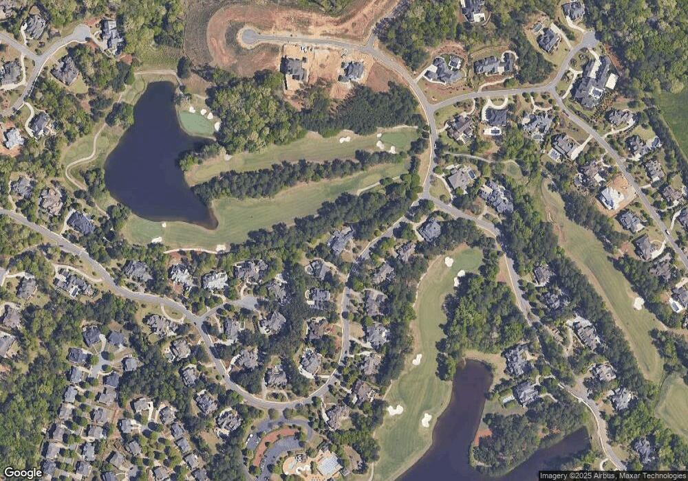
Map
Nearby Homes
- 721 Woodvale Point
- 5004 Gunnison Trace
- 751 Woodvale Point
- 4874 Kettle River Point
- 989 Middle Fork Trail
- 861 Woodvale Point
- 4920 Roaring Fork Pass
- 891 Woodvale Point
- 4734 Cuyahoga Cove
- 4635 Whitestone Way
- 811 Woodvale Point
- 1078 Crescent River Pass
- 4770 Spring Park Cir
- 4847 Basingstoke Dr
- 4892 Tarry Post Ln
- 600 Grimsby Ct
- 923 Little Darby Ln
- 922 Little Darby Ln
- 4844 Elkhorn Hill Dr
- 3140 Glastonbury Ln
- 829 Middle Fork Trail
- 818 Middle Fork Trail
- 839 Middle Fork Trail
- 808 Middle Fork Trail
- 881 Little Lost Landing
- 838 Middle Fork Trail
- 768 Middle Fork Trail
- 891 Little Lost Landing
- 798 Middle Fork Trail
- 849 Middle Fork Trail Unit 2
- 848 Middle Fork Trail
- 892 Little Lost Landing Unit None
- 892 Little Lost Landing
- 4864 Whitestone Way
- 869 Middle Fork Trail
- 901 Little Lost Landing
- 4735 Whitestone Way
- 902 Little Lost Landing
- 769 Middle Fork Trail
- 889 Middle Fork Trail
Your Personal Tour Guide
Ask me questions while you tour the home.