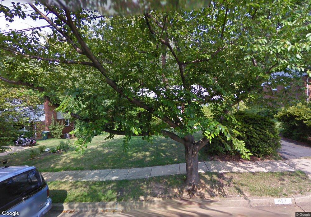
819 N Ashton St Alexandria, VA 22312
Lincolnia Hills NeighborhoodEstimated Value: $672,670 - $741,000
--
Bed
2
Baths
1,304
Sq Ft
$550/Sq Ft
Est. Value
About This Home
This home is located at 819 N Ashton St, Alexandria, VA 22312 and is currently estimated at $716,890, approximately $549 per square foot. 819 N Ashton St is a home located in Alexandria City with nearby schools including William Ramsay Elementary School, Francis C. Hammond Middle, and Alexandria City High School.
Ownership History
Date
Name
Owned For
Owner Type
Purchase Details
Closed on
Oct 27, 2020
Sold by
Henriquez Patricia G
Bought by
Henriquez Patrick G and The Patricia G Henriquez Trust
Current Estimated Value
Purchase Details
Closed on
Mar 20, 1997
Sold by
Taylor Alan R and Taylor Mark D Te
Bought by
Paster Vera S and Paster Nicholas G
Home Financials for this Owner
Home Financials are based on the most recent Mortgage that was taken out on this home.
Original Mortgage
$145,600
Outstanding Balance
$17,562
Interest Rate
7.68%
Mortgage Type
New Conventional
Estimated Equity
$699,328
Create a Home Valuation Report for This Property
The Home Valuation Report is an in-depth analysis detailing your home's value as well as a comparison with similar homes in the area
Home Values in the Area
Average Home Value in this Area
Purchase History
| Date | Buyer | Sale Price | Title Company |
|---|---|---|---|
| Henriquez Patrick G | -- | None Available | |
| Paster Vera S | $182,000 | Island Title Corp |
Source: Public Records
Mortgage History
| Date | Status | Borrower | Loan Amount |
|---|---|---|---|
| Open | Paster Vera S | $145,600 |
Source: Public Records
Tax History Compared to Growth
Tax History
| Year | Tax Paid | Tax Assessment Tax Assessment Total Assessment is a certain percentage of the fair market value that is determined by local assessors to be the total taxable value of land and additions on the property. | Land | Improvement |
|---|---|---|---|---|
| 2025 | $7,517 | $590,383 | $330,500 | $259,883 |
| 2024 | $7,517 | $590,383 | $330,500 | $259,883 |
| 2023 | $6,443 | $580,476 | $324,059 | $256,417 |
| 2022 | $6,072 | $546,982 | $302,859 | $244,123 |
| 2021 | $5,845 | $526,553 | $291,211 | $235,342 |
| 2020 | $5,952 | $494,661 | $272,160 | $222,501 |
| 2019 | $5,212 | $461,233 | $252,000 | $209,233 |
| 2018 | $5,212 | $461,233 | $252,000 | $209,233 |
| 2017 | $4,997 | $442,200 | $237,833 | $204,367 |
| 2016 | $4,745 | $442,200 | $237,833 | $204,367 |
| 2015 | $4,612 | $442,200 | $237,833 | $204,367 |
| 2014 | $4,277 | $410,082 | $220,216 | $189,866 |
Source: Public Records
Map
Nearby Homes
- 525 N Armistead St Unit T2
- 523 N Armistead St Unit 102
- 5929 Quantrell Ave Unit 301
- 519 N Armistead St Unit T1
- 511 N Armistead St Unit T2
- 509 N Armistead St Unit 103
- 509 N Armistead St Unit 303
- 301 N Beauregard St Unit 1617
- 301 N Beauregard St Unit 1114
- 301 N Beauregard St Unit 1608
- 301 N Beauregard St Unit 1508
- 301 N Beauregard St Unit 703
- 301 N Beauregard St Unit 1605
- 5953 Lowell Ave
- 501 N Armistead St Unit 302
- 431 N Armistead St Unit 502
- 431 N Armistead St Unit 211
- 1045 Rynex Dr
- 5831 Quantrell Ave Unit 505
- 5801 Quantrell Ave Unit 203
- 827 N Ashton St
- 809 N Ashton St
- 835 N Ashton St
- 801 N Ashton St
- 624 N Armistead St
- 622 N Armistead St
- 622 N Armistead St Unit 12
- 818 N Ashton St
- 830 N Ashton St
- 620 N Armistead St
- 626 N Armistead St
- 628 N Armistead St
- 618 N Armistead St
- 618 N Armistead St Unit 10
- 901 N Ashton St
- 646 N Armistead St
- 747 N Ashton St
- 638 N Armistead St
- 638 N Armistead St Unit 20
- 616 N Armistead St