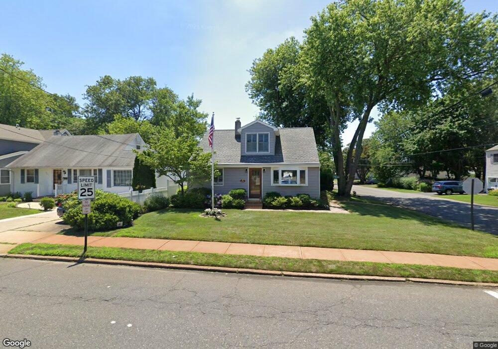
819 Ocean Rd Spring Lake, NJ 07762
Estimated Value: $1,145,273 - $1,277,000
3
Beds
2
Baths
1,801
Sq Ft
$661/Sq Ft
Est. Value
About This Home
This home is located at 819 Ocean Rd, Spring Lake, NJ 07762 and is currently estimated at $1,190,818, approximately $661 per square foot. 819 Ocean Rd is a home located in Monmouth County with nearby schools including Spring Lake Heights Elementary School, The Brookside School, and St. Catharine School.
Ownership History
Date
Name
Owned For
Owner Type
Purchase Details
Closed on
Jan 23, 2015
Sold by
Kelsey Suzanne T
Bought by
Kelsey Suzanne T
Current Estimated Value
Home Financials for this Owner
Home Financials are based on the most recent Mortgage that was taken out on this home.
Original Mortgage
$241,000
Interest Rate
3.02%
Mortgage Type
New Conventional
Create a Home Valuation Report for This Property
The Home Valuation Report is an in-depth analysis detailing your home's value as well as a comparison with similar homes in the area
Home Values in the Area
Average Home Value in this Area
Purchase History
| Date | Buyer | Sale Price | Title Company |
|---|---|---|---|
| Kelsey Suzanne T | -- | Norstar Abstract Llc |
Source: Public Records
Mortgage History
| Date | Status | Borrower | Loan Amount |
|---|---|---|---|
| Closed | Kelsey Suzanne T | $241,000 |
Source: Public Records
Tax History Compared to Growth
Tax History
| Year | Tax Paid | Tax Assessment Tax Assessment Total Assessment is a certain percentage of the fair market value that is determined by local assessors to be the total taxable value of land and additions on the property. | Land | Improvement |
|---|---|---|---|---|
| 2025 | $8,627 | $868,600 | $519,800 | $348,800 |
| 2024 | $9,013 | $819,300 | $476,900 | $342,400 |
| 2023 | $9,013 | $804,700 | $470,300 | $334,400 |
| 2022 | $8,088 | $672,900 | $329,700 | $343,200 |
| 2021 | $8,088 | $599,100 | $287,100 | $312,000 |
| 2020 | $7,476 | $550,500 | $267,300 | $283,200 |
| 2019 | $7,281 | $530,700 | $267,300 | $263,400 |
| 2018 | $7,202 | $510,800 | $267,300 | $243,500 |
| 2017 | $6,905 | $507,700 | $267,300 | $240,400 |
| 2016 | $6,848 | $497,300 | $267,300 | $230,000 |
| 2015 | $6,747 | $491,400 | $267,300 | $224,100 |
| 2014 | $6,347 | $467,500 | $247,500 | $220,000 |
Source: Public Records
Map
Nearby Homes
- 817 Ocean Rd
- 805 Jersey Ave
- 601 Central Ave
- 530 Highway 71 Unit 4
- 510 Beacon Blvd
- 708 New York Blvd
- 418 Salem Ave
- 1301 Warren Ave Unit 5
- 305 4th Ave
- 613 Warren Ave
- 418 Monmouth Ave
- 417 Brooklyn Blvd
- 513 Mercer Ave
- 19 Willow Ln
- 306 Ocean Rd
- 2005 Nassau Dr
- 722 Boston Blvd
- 314 Chicago Blvd
- 721 Crescent Place
- 200 Monmouth Ave Unit 21