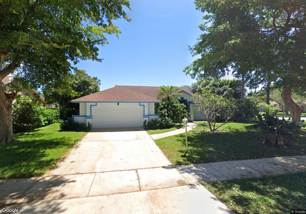
819 Par Cir Delray Beach, FL 33445
Estimated Value: $560,000 - $798,000
3
Beds
2
Baths
1,576
Sq Ft
$414/Sq Ft
Est. Value
About This Home
This home is located at 819 Par Cir, Delray Beach, FL 33445 and is currently estimated at $652,189, approximately $413 per square foot. 819 Par Cir is a home located in Palm Beach County with nearby schools including Orchard View Elementary School, Carver Community Middle School, and Atlantic High School.
Ownership History
Date
Name
Owned For
Owner Type
Purchase Details
Closed on
Feb 6, 2025
Sold by
Cook Cindi Sue
Bought by
Cook Cindi Sue and Thompson Vinnette
Current Estimated Value
Purchase Details
Closed on
Sep 9, 1999
Sold by
Bader Hilton R and Badcock Janice Y B
Bought by
Cook Cindi S
Home Financials for this Owner
Home Financials are based on the most recent Mortgage that was taken out on this home.
Original Mortgage
$103,900
Interest Rate
7.73%
Mortgage Type
New Conventional
Create a Home Valuation Report for This Property
The Home Valuation Report is an in-depth analysis detailing your home's value as well as a comparison with similar homes in the area
Home Values in the Area
Average Home Value in this Area
Purchase History
| Date | Buyer | Sale Price | Title Company |
|---|---|---|---|
| Cook Cindi Sue | -- | None Listed On Document | |
| Cook Cindi S | $129,900 | -- |
Source: Public Records
Mortgage History
| Date | Status | Borrower | Loan Amount |
|---|---|---|---|
| Previous Owner | Cook Cindi S | $100,000 | |
| Previous Owner | Cook Cindi S | $20,000 | |
| Previous Owner | Cook Cindi S | $103,900 |
Source: Public Records
Tax History Compared to Growth
Tax History
| Year | Tax Paid | Tax Assessment Tax Assessment Total Assessment is a certain percentage of the fair market value that is determined by local assessors to be the total taxable value of land and additions on the property. | Land | Improvement |
|---|---|---|---|---|
| 2024 | $2,477 | $162,051 | -- | -- |
| 2023 | $2,464 | $157,331 | $0 | $0 |
| 2022 | $2,413 | $152,749 | $0 | $0 |
| 2021 | $2,398 | $148,300 | $0 | $0 |
| 2020 | $2,372 | $146,252 | $0 | $0 |
| 2019 | $2,332 | $142,964 | $0 | $0 |
| 2018 | $2,223 | $140,298 | $0 | $0 |
| 2017 | $2,202 | $137,412 | $0 | $0 |
| 2016 | $2,200 | $134,586 | $0 | $0 |
| 2015 | $2,253 | $133,650 | $0 | $0 |
| 2014 | $2,264 | $132,589 | $0 | $0 |
Source: Public Records
Map
Nearby Homes
- 2635 Lowson Blvd Unit D
- 2737 Lowson Blvd Unit D
- 2600 Fiore Way Unit 207B
- 2700 Casita Way Unit 2150
- 704 Lago Rd
- 2413 Lowson Blvd Unit C
- 2501 Del Aire Blvd Unit 20B
- 2738 Casa Way
- 1001 Flame Vine Ave Unit 201
- 2401 Del Aire Blvd Unit 202
- 2828 Casita Way Unit 207C
- 2901 Fiore Way Unit 103
- 2901 Fiore Way Unit 2040
- 1021 Flame Vine Ave Unit 203
- 2808 Casa Way
- 2303 Lowson Blvd Unit D
- 2800 Fiore Way Unit 108
- 829 Camino Rd Unit 112B
- 2900 Fiore Way Unit 1080
- 1041 Orange Terrace Unit 102