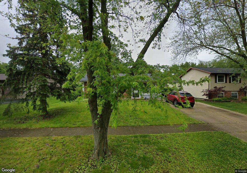
819 Poplar Ln Bolingbrook, IL 60440
Poplar Park NeighborhoodEstimated Value: $271,484 - $318,000
3
Beds
1
Bath
1,064
Sq Ft
$277/Sq Ft
Est. Value
About This Home
This home is located at 819 Poplar Ln, Bolingbrook, IL 60440 and is currently estimated at $294,371, approximately $276 per square foot. 819 Poplar Ln is a home located in Will County with nearby schools including Independence Elementary School, Jane Addams Middle School, and Bolingbrook High School.
Ownership History
Date
Name
Owned For
Owner Type
Purchase Details
Closed on
Dec 6, 2017
Sold by
Atg Trust Company
Bought by
Skrlin Brian and Skrlin Amanda
Current Estimated Value
Home Financials for this Owner
Home Financials are based on the most recent Mortgage that was taken out on this home.
Original Mortgage
$166,822
Interest Rate
3.49%
Mortgage Type
FHA
Purchase Details
Closed on
Oct 16, 2009
Sold by
Lukasik Edward W
Bought by
Atg Trust Company and Trust #L009-0136
Purchase Details
Closed on
Apr 13, 2006
Sold by
Dwyer Robert D
Bought by
Lukasik Edward W
Home Financials for this Owner
Home Financials are based on the most recent Mortgage that was taken out on this home.
Original Mortgage
$139,200
Interest Rate
7.25%
Mortgage Type
Purchase Money Mortgage
Purchase Details
Closed on
Apr 20, 1995
Sold by
Nordan James D and Nordan Ruth A
Bought by
Dwyer Robert D
Home Financials for this Owner
Home Financials are based on the most recent Mortgage that was taken out on this home.
Original Mortgage
$90,500
Interest Rate
8.64%
Mortgage Type
FHA
Create a Home Valuation Report for This Property
The Home Valuation Report is an in-depth analysis detailing your home's value as well as a comparison with similar homes in the area
Home Values in the Area
Average Home Value in this Area
Purchase History
| Date | Buyer | Sale Price | Title Company |
|---|---|---|---|
| Skrlin Brian | $169,900 | None Available | |
| Atg Trust Company | -- | None Available | |
| Lukasik Edward W | $174,000 | Law Title | |
| Dwyer Robert D | $91,000 | -- |
Source: Public Records
Mortgage History
| Date | Status | Borrower | Loan Amount |
|---|---|---|---|
| Previous Owner | Skrlin Brian | $166,822 | |
| Previous Owner | Lukasik Edward W | $139,200 | |
| Previous Owner | Dwyer Robert D | $90,500 |
Source: Public Records
Tax History
| Year | Tax Paid | Tax Assessment Tax Assessment Total Assessment is a certain percentage of the fair market value that is determined by local assessors to be the total taxable value of land and additions on the property. | Land | Improvement |
|---|---|---|---|---|
| 2024 | $6,144 | $74,526 | $17,938 | $56,588 |
| 2023 | $6,144 | $67,056 | $16,140 | $50,916 |
| 2022 | $5,265 | $59,269 | $14,266 | $45,003 |
| 2021 | $4,975 | $55,418 | $13,339 | $42,079 |
| 2020 | $4,814 | $53,595 | $12,900 | $40,695 |
| 2019 | $4,647 | $51,043 | $12,286 | $38,757 |
| 2018 | $4,292 | $47,323 | $11,415 | $35,908 |
| 2017 | $4,701 | $44,856 | $10,820 | $34,036 |
| 2016 | $4,586 | $42,700 | $10,300 | $32,400 |
| 2015 | $4,232 | $41,000 | $9,900 | $31,100 |
| 2014 | $4,232 | $37,300 | $9,000 | $28,300 |
| 2013 | $4,232 | $39,300 | $9,500 | $29,800 |
Source: Public Records
Map
Nearby Homes
- 4 Franklin Ct Unit 2
- 234 Butternut Dr
- 217 S Orchard Dr
- 250 Butternut Dr
- 811 Beech Dr
- 867 Harris Dr Unit 5
- 118 Springleaf Dr Unit 5
- 164 Galewood Dr
- 333 Claridge Cir
- 265 Commonwealth Dr Unit 1
- 10 Lindsey Ct W
- 209 Bunker Hill Dr
- VACANT W Boughton Rd
- 261 Bryant Way
- 845 Barclay Dr
- 8 Lily Ct
- 209 Mill Stream Dr
- 401 Foxborough Trail
- 1086 Lily Field Ln
- 662 Sundance Dr
Your Personal Tour Guide
Ask me questions while you tour the home.