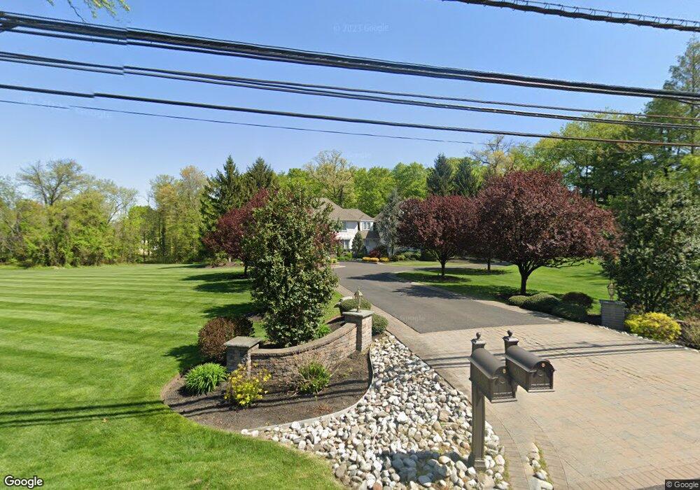
819 Riverton Rd Moorestown, NJ 08057
Estimated Value: $873,000 - $1,599,000
--
Bed
--
Bath
4,438
Sq Ft
$291/Sq Ft
Est. Value
About This Home
This home is located at 819 Riverton Rd, Moorestown, NJ 08057 and is currently estimated at $1,290,513, approximately $290 per square foot. 819 Riverton Rd is a home located in Burlington County with nearby schools including George C. Baker Elementary School, Moorestown Upper Elementary School, and William Allen Middle School.
Ownership History
Date
Name
Owned For
Owner Type
Purchase Details
Closed on
Jun 26, 2006
Sold by
Jeyaram Chellapandian and Jeyaram Padmini
Bought by
Hyland Marcia J
Current Estimated Value
Home Financials for this Owner
Home Financials are based on the most recent Mortgage that was taken out on this home.
Original Mortgage
$417,000
Interest Rate
6.27%
Mortgage Type
Purchase Money Mortgage
Purchase Details
Closed on
Oct 10, 2002
Sold by
Jeyaram Chellapandian and Jeyaram Padmini
Bought by
Jeyaram Padmini
Create a Home Valuation Report for This Property
The Home Valuation Report is an in-depth analysis detailing your home's value as well as a comparison with similar homes in the area
Home Values in the Area
Average Home Value in this Area
Purchase History
| Date | Buyer | Sale Price | Title Company |
|---|---|---|---|
| Hyland Marcia J | $875,000 | Fidelity Title Abstract Co | |
| Jeyaram Padmini | -- | -- |
Source: Public Records
Mortgage History
| Date | Status | Borrower | Loan Amount |
|---|---|---|---|
| Closed | Hyland Marcia J | $417,000 |
Source: Public Records
Tax History Compared to Growth
Tax History
| Year | Tax Paid | Tax Assessment Tax Assessment Total Assessment is a certain percentage of the fair market value that is determined by local assessors to be the total taxable value of land and additions on the property. | Land | Improvement |
|---|---|---|---|---|
| 2025 | $22,222 | $783,300 | $163,000 | $620,300 |
| 2024 | $21,549 | $783,300 | $163,000 | $620,300 |
| 2023 | $21,549 | $783,300 | $163,000 | $620,300 |
| 2022 | $21,329 | $783,300 | $163,000 | $620,300 |
| 2021 | $21,047 | $783,300 | $163,000 | $620,300 |
| 2020 | $20,914 | $783,300 | $163,000 | $620,300 |
| 2019 | $19,413 | $783,300 | $163,000 | $620,300 |
| 2018 | $18,921 | $783,300 | $163,000 | $620,300 |
| 2017 | $19,560 | $783,300 | $163,000 | $620,300 |
| 2016 | $18,271 | $735,700 | $163,000 | $572,700 |
| 2015 | $18,050 | $735,700 | $163,000 | $572,700 |
| 2014 | $17,138 | $735,700 | $163,000 | $572,700 |
Source: Public Records
Map
Nearby Homes
- 2801 Riverton Rd
- 25 Oriole Way
- 343 Tom Brown Rd
- 347 Tom Brown Rd
- 142 Fox Chase Dr
- 863 Golf View Rd
- 2611 Barton Ct
- 2807 Hunterdon Dr
- 164 Fox Chase Dr
- 543 Bethel Ave
- 310 Devon Rd
- 744 Signal Light Rd
- 2716 Branch Pike
- 308 Farmdale Rd
- 316 Farmdale Rd
- 415 Bridgeboro Rd
- 2408 New Albany Rd
- 62 Sussex Dr
- 228 Aqua Ln
- 423 Park Blvd
- 817 Riverton Rd
- 815 Riverton Rd
- 812 Riverton Rd
- 712 New Albany Rd
- 808 Riverton Rd
- 809 Riverton Rd
- 896 Heritage Rd
- 894 Heritage Rd
- 805 Riverton Rd
- 300 Tom Brown Rd
- 13 Coles Ct
- 651 New Albany Rd
- 302 Tom Brown Rd
- 807 Riverton Rd
- 898 Heritage Rd
- 17 Coles Ct
- 310 Tom Brown Rd
- 892 Heritage Rd
- 6 Willow Point
- 21 Coles Ct