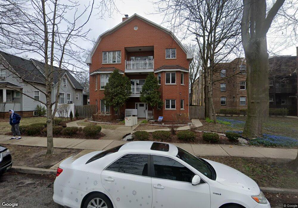
819 Simpson St Unit 3 Evanston, IL 60201
Northeast Evanston NeighborhoodEstimated Value: $269,000 - $826,057
4
Beds
3
Baths
3,598
Sq Ft
$174/Sq Ft
Est. Value
About This Home
This home is located at 819 Simpson St Unit 3, Evanston, IL 60201 and is currently estimated at $626,514, approximately $174 per square foot. 819 Simpson St Unit 3 is a home located in Cook County with nearby schools including Dewey Elementary School, Washington Elementary School, and Nichols Middle School.
Ownership History
Date
Name
Owned For
Owner Type
Purchase Details
Closed on
Jun 15, 2005
Sold by
Solomon Aurel
Bought by
819 Simpson Llc
Current Estimated Value
Home Financials for this Owner
Home Financials are based on the most recent Mortgage that was taken out on this home.
Original Mortgage
$1,285,000
Outstanding Balance
$663,856
Interest Rate
6%
Mortgage Type
Construction
Estimated Equity
-$37,342
Create a Home Valuation Report for This Property
The Home Valuation Report is an in-depth analysis detailing your home's value as well as a comparison with similar homes in the area
Home Values in the Area
Average Home Value in this Area
Purchase History
| Date | Buyer | Sale Price | Title Company |
|---|---|---|---|
| 819 Simpson Llc | $925,000 | Ctic |
Source: Public Records
Mortgage History
| Date | Status | Borrower | Loan Amount |
|---|---|---|---|
| Open | 819 Simpson Llc | $1,285,000 |
Source: Public Records
Tax History
| Year | Tax Paid | Tax Assessment Tax Assessment Total Assessment is a certain percentage of the fair market value that is determined by local assessors to be the total taxable value of land and additions on the property. | Land | Improvement |
|---|---|---|---|---|
| 2025 | $14,728 | $59,305 | $9,256 | $50,049 |
| 2024 | $14,728 | $60,839 | $7,844 | $52,995 |
| 2023 | $14,132 | $60,839 | $7,844 | $52,995 |
| 2022 | $14,132 | $60,839 | $7,844 | $52,995 |
| 2021 | $18,507 | $69,738 | $5,177 | $64,561 |
| 2020 | $18,260 | $69,738 | $5,177 | $64,561 |
| 2019 | $17,869 | $76,267 | $5,177 | $71,090 |
| 2018 | $18,043 | $65,857 | $4,392 | $61,465 |
| 2017 | $17,572 | $65,857 | $4,392 | $61,465 |
| 2016 | $16,667 | $65,857 | $4,392 | $61,465 |
| 2015 | $17,004 | $63,418 | $3,765 | $59,653 |
| 2014 | $16,843 | $63,418 | $3,765 | $59,653 |
| 2013 | $16,455 | $63,418 | $3,765 | $59,653 |
Source: Public Records
Map
Nearby Homes
- 2016 Sherman Ave Unit 1E
- 2033 Sherman Ave Unit 409
- 2001 Sherman Ave Unit 203
- 730 Noyes St Unit K3
- 724 Noyes St Unit F1
- 2258 Sherman Ave Unit 1
- 2236 Ridge Ave
- 2316 Sherman Ave Unit 1B
- 1864 Sherman Ave Unit 5NW
- 1860 Sherman Ave Unit 7NE
- 1201 Noyes St
- 2043 Asbury Ave
- 726 Lincoln St
- 1115 Colfax St
- 800 Elgin Rd Unit 1108
- 800 Elgin Rd Unit 715
- 800 Elgin Rd Unit 1210
- 1228 Emerson St Unit 304
- 1834 Ridge Ave Unit 102
- 624 Clark St
- 819 Simpson St Unit 1
- 819 Simpson St Unit 2
- 825 Simpson St
- 2112 Sherman Ave Unit 2E
- 2112 Sherman Ave Unit 2W
- 2114 Sherman Ave Unit 3E
- 2114 Sherman Ave Unit 2E
- 2114 Sherman Ave Unit 2W
- 2110 Sherman Ave Unit 1E
- 2110 Sherman Ave Unit 1W
- 2110 Sherman Ave Unit 3W
- 2110 Sherman Ave Unit 3E
- 2110 Sherman Ave Unit 2E
- 829 Simpson St Unit 1
- 829 Simpson St
- 810 Simpson St
- 2116 Sherman Ave Unit 2W
- 2116 Sherman Ave Unit 3W
- 2116 Sherman Ave Unit 3E
- 2116 Sherman Ave Unit 2E
Your Personal Tour Guide
Ask me questions while you tour the home.