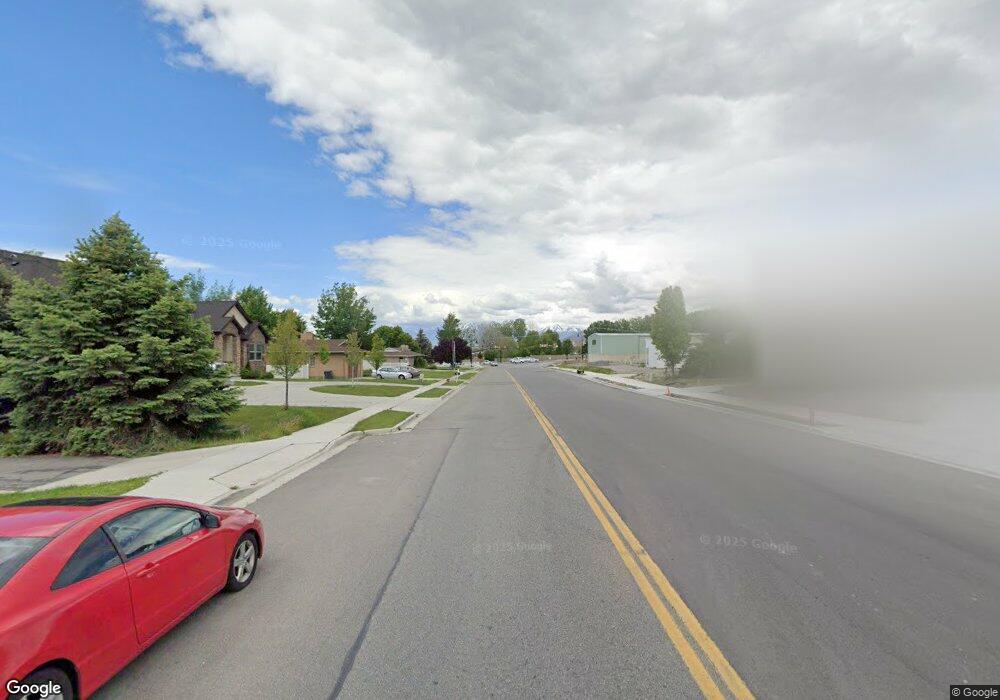
819 W 700 N American Fork, UT 84003
Estimated Value: $937,000 - $1,437,000
7
Beds
5
Baths
6,003
Sq Ft
$202/Sq Ft
Est. Value
About This Home
This home is located at 819 W 700 N, American Fork, UT 84003 and is currently estimated at $1,212,290, approximately $201 per square foot. 819 W 700 N is a home located in Utah County with nearby schools including Shelley Elementary School, American Fork Junior High School, and American Fork High School.
Ownership History
Date
Name
Owned For
Owner Type
Purchase Details
Closed on
Jan 31, 2024
Sold by
Samuelson Tamera and Samuelson Gary Lee
Current Estimated Value
Home Financials for this Owner
Home Financials are based on the most recent Mortgage that was taken out on this home.
Original Mortgage
$430,000
Outstanding Balance
$422,401
Interest Rate
6.61%
Mortgage Type
Seller Take Back
Estimated Equity
$789,889
Purchase Details
Closed on
Apr 19, 2019
Sold by
Gainor Jonathan D and Gainor Johnathan D
Bought by
Samuelson Gary Lee and Samuelson Tamera
Home Financials for this Owner
Home Financials are based on the most recent Mortgage that was taken out on this home.
Original Mortgage
$484,350
Interest Rate
4.3%
Mortgage Type
New Conventional
Purchase Details
Closed on
Jun 22, 2017
Sold by
Dean Collin R and Dean Kata
Bought by
Gainor Johnathan D
Home Financials for this Owner
Home Financials are based on the most recent Mortgage that was taken out on this home.
Original Mortgage
$424,100
Interest Rate
4.05%
Purchase Details
Closed on
Mar 30, 2015
Sold by
Dean Collin and Dean Kala
Bought by
Dean Collin R and Dean Kata
Home Financials for this Owner
Home Financials are based on the most recent Mortgage that was taken out on this home.
Original Mortgage
$417,000
Interest Rate
3.71%
Purchase Details
Closed on
Aug 26, 2014
Sold by
Rache Layton Trustee Of The C And C Revc
Bought by
Dean Collin and Dean Kata
Home Financials for this Owner
Home Financials are based on the most recent Mortgage that was taken out on this home.
Original Mortgage
$417,000
Interest Rate
4.11%
Purchase Details
Closed on
Sep 28, 2011
Sold by
Ellis T Jared
Bought by
Layton Rachel
Purchase Details
Closed on
Nov 15, 2010
Sold by
Layton Lonny B and Layton Rachel
Bought by
Ellis T Jared
Purchase Details
Closed on
Feb 6, 2008
Sold by
Rode Rebecca
Bought by
Layton Lonny B and Layton Rachel
Create a Home Valuation Report for This Property
The Home Valuation Report is an in-depth analysis detailing your home's value as well as a comparison with similar homes in the area
Home Values in the Area
Average Home Value in this Area
Purchase History
| Date | Buyer | Sale Price | Title Company |
|---|---|---|---|
| -- | -- | Meridian Title Company | |
| Samuelson Gary Lee | -- | First American American Fork | |
| Gainor Johnathan D | -- | First Amer Title Ins Co | |
| Dean Collin R | -- | Advanced Title | |
| Dean Collin | -- | Inwest Title | |
| Layton Rachel | -- | Accommodation | |
| Ellis T Jared | -- | Eagle Pointe Title Insuranc | |
| Layton Lonny B | -- | Accommodation |
Source: Public Records
Mortgage History
| Date | Status | Borrower | Loan Amount |
|---|---|---|---|
| Open | Bradley Nameplate Corporation | $430,000 | |
| Previous Owner | Samuelson Gary Lee | $484,350 | |
| Previous Owner | Gainor Johnathan D | $424,100 | |
| Previous Owner | Dean Collin R | $417,000 | |
| Previous Owner | Dean Collin | $417,000 |
Source: Public Records
Tax History Compared to Growth
Tax History
| Year | Tax Paid | Tax Assessment Tax Assessment Total Assessment is a certain percentage of the fair market value that is determined by local assessors to be the total taxable value of land and additions on the property. | Land | Improvement |
|---|---|---|---|---|
| 2025 | $5,110 | $630,080 | $344,200 | $801,400 |
| 2024 | $5,110 | $567,765 | $0 | $0 |
| 2023 | $4,792 | $564,465 | $0 | $0 |
| 2022 | $4,764 | $553,795 | $0 | $0 |
| 2021 | $4,178 | $758,600 | $241,100 | $517,500 |
| 2020 | $4,066 | $716,100 | $223,200 | $492,900 |
| 2019 | $3,906 | $711,400 | $223,200 | $488,200 |
| 2018 | $3,615 | $629,500 | $150,200 | $479,300 |
| 2017 | $3,402 | $319,770 | $0 | $0 |
| 2016 | $3,320 | $289,960 | $0 | $0 |
| 2015 | $3,400 | $281,765 | $0 | $0 |
| 2014 | $3,029 | $247,610 | $0 | $0 |
Source: Public Records
Map
Nearby Homes
- 962 N 780 St W Unit 508
- 974 N 780 St W Unit 509
- 916 N 780 St W Unit 501
- 822 W 800 St N Unit LOT319
- 822 N 860 W Unit 317
- 777 W State Rd
- 901 N Lakota Rd
- 602 W 860 N
- 3935 W 1000 N Unit 438
- 3983 W 1000 N Unit 442
- 4007 W 1000 N
- 3947 W 1000 N Unit 439
- 3959 W 1000 N
- 418 N 1322 E
- 328 N 1270 E
- 641 N 420 W
- 356 N 480 W
- 893 N 1580 E
- 458 N 1100 E Unit 3
- 595 N 1200 E
- 825 W 700 N
- 757 W 700 N
- 809 W 700 N Unit 288
- 807 W 700 N Unit 287
- 803 W 700 N Unit 285
- 805 W 700 N Unit 286
- 821 W 700 N Unit 291
- 793 W 700 N Unit 283
- 802 W 700 N
- 829 W 700 N Unit 293
- 829 W 700 N
- 833 W 700 N Unit 294
- 785 W 700 N Unit 282
- 781 W 700 N Unit 281
- 796 W 600 N
- 812 W 700 N Unit A1104
- 771 W 700 N Unit 279
- 755 W 700 N
- 826 W 700 N Unit A110
- 826 W 700 N Unit A1102