Estimated Value: $429,167 - $498,000
3
Beds
1
Bath
1,008
Sq Ft
$463/Sq Ft
Est. Value
About This Home
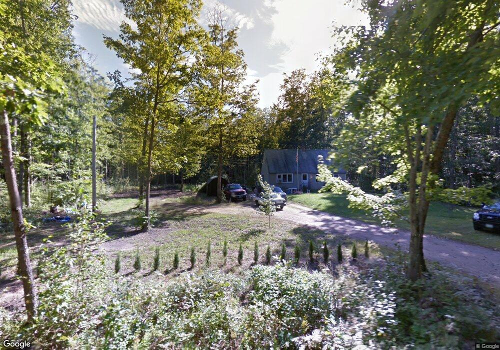
This home is located at 819 Wire Rd, Wells, ME 04090 and is currently estimated at $467,042, approximately $463 per square foot. 819 Wire Rd is a home located in York County with nearby schools including Wells Elementary School, Wells Junior High School, and Wells High School.
Ownership History
Date
Name
Owned For
Owner Type
Purchase Details
Closed on
Jun 2, 2017
Sold by
Stone Rebecca and Stone Stephen
Bought by
Wilson Bethany L
Current Estimated Value
Home Financials for this Owner
Home Financials are based on the most recent Mortgage that was taken out on this home.
Original Mortgage
$122,100
Outstanding Balance
$101,422
Interest Rate
3.97%
Mortgage Type
FHA
Estimated Equity
$365,620
Create a Home Valuation Report for This Property
The Home Valuation Report is an in-depth analysis detailing your home's value as well as a comparison with similar homes in the area
Home Values in the Area
Average Home Value in this Area
Purchase History
| Date | Buyer | Sale Price | Title Company |
|---|---|---|---|
| Wilson Bethany L | -- | -- |
Source: Public Records
Mortgage History
| Date | Status | Borrower | Loan Amount |
|---|---|---|---|
| Open | Wilson Bethany L | $122,100 |
Source: Public Records
Tax History Compared to Growth
Tax History
| Year | Tax Paid | Tax Assessment Tax Assessment Total Assessment is a certain percentage of the fair market value that is determined by local assessors to be the total taxable value of land and additions on the property. | Land | Improvement |
|---|---|---|---|---|
| 2024 | $2,031 | $333,990 | $132,290 | $201,700 |
| 2023 | $1,991 | $333,990 | $132,290 | $201,700 |
| 2022 | $1,731 | $165,470 | $60,090 | $105,380 |
| 2021 | $1,741 | $165,470 | $56,190 | $109,280 |
| 2020 | $1,734 | $165,470 | $60,090 | $105,380 |
| 2019 | $1,724 | $165,470 | $60,090 | $105,380 |
| 2018 | $1,708 | $165,470 | $60,090 | $105,380 |
| 2017 | $1,681 | $165,470 | $60,090 | $105,380 |
| 2016 | $1,665 | $165,470 | $60,090 | $105,380 |
| 2015 | $1,646 | $165,470 | $60,090 | $105,380 |
| 2013 | $1,509 | $165,470 | $60,090 | $105,380 |
Source: Public Records
Map
Nearby Homes
- Lot #6 Meetinghouse Rd
- Lot 109 Patriot Place Unit 109
- Lot 87 Patriot Place Unit 87
- Lot 108 Patriot Place Unit 108
- 82 Independence Way Unit 5
- Lot B Bothwell Ln
- Lot B, 23 Bothwell Ln
- 2196 Sanford Rd Unit 46
- 93 Natanis Ridge Cir
- Lot 1 Rolling Woods Ln
- Lot 14 Rolling Woods Ln
- Lot 7 Rolling Woods Ln
- Lot 8 Rolling Woods Ln
- Lot 11 Rolling Woods Ln
- Lot 16 Rolling Woods Ln
- Lot 5 Rolling Woods Ln
- Lot 10 Rolling Woods Ln
- Lot 12 Rolling Woods Ln
- Lot 3 Rolling Woods Ln
- Lot A Rolling Woods Ln
- 4 Alexander Way
- 0 Wire Rd
- 765 Wire Rd
- 770 Wire Rd
- 796 Wire Rd
- 760 Wire Rd
- 00 Wire Rd
- 745 Wire Rd
- 742 Wire Rd
- 722 Wire Rd
- 0 Orens Rd Unit 1371163
- 0 Orens Rd Unit 1436785
- 95 Orens Rd
- 698 Wire Rd Unit B
- 698 Wire Rd Unit A
- 698 Wire Rd
- 698 Wire Rd Unit 1
- 685 Wire Rd
- 21 Orens Rd
- 95 Camerons Ln Unit Lot 21