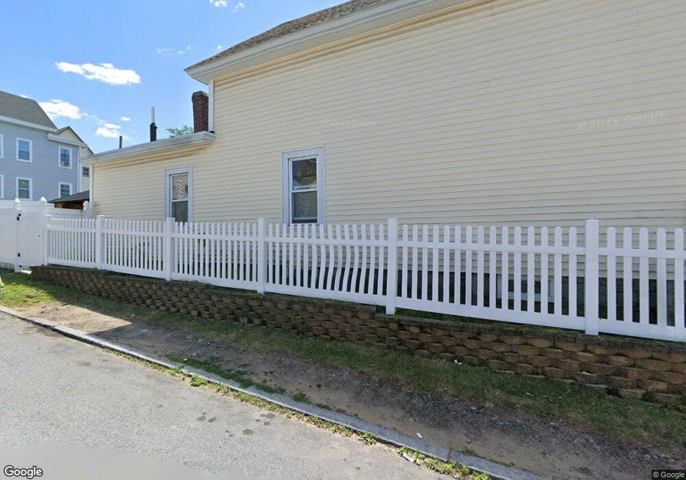
82 Andrews St Lowell, MA 01852
Sacred Heart NeighborhoodEstimated Value: $447,000 - $557,000
4
Beds
1
Bath
1,511
Sq Ft
$319/Sq Ft
Est. Value
About This Home
This home is located at 82 Andrews St, Lowell, MA 01852 and is currently estimated at $482,672, approximately $319 per square foot. 82 Andrews St is a home located in Middlesex County with nearby schools including Moody Elementary School, Abraham Lincoln Elementary School, and Greenhalge Elementary School.
Ownership History
Date
Name
Owned For
Owner Type
Purchase Details
Closed on
Nov 10, 2011
Sold by
Harkins Re Inc
Bought by
Nieves Nerys and Nieves David
Current Estimated Value
Home Financials for this Owner
Home Financials are based on the most recent Mortgage that was taken out on this home.
Original Mortgage
$146,300
Outstanding Balance
$99,714
Interest Rate
4.01%
Mortgage Type
Purchase Money Mortgage
Estimated Equity
$382,958
Purchase Details
Closed on
Jun 14, 2011
Sold by
Sheridan William H Est and Sheridan
Bought by
Harkins Re Inc
Create a Home Valuation Report for This Property
The Home Valuation Report is an in-depth analysis detailing your home's value as well as a comparison with similar homes in the area
Home Values in the Area
Average Home Value in this Area
Purchase History
| Date | Buyer | Sale Price | Title Company |
|---|---|---|---|
| Nieves Nerys | $190,000 | -- | |
| Nieves Nerys | $190,000 | -- | |
| Harkins Re Inc | $80,000 | -- | |
| Harkins Re Inc | $80,000 | -- |
Source: Public Records
Mortgage History
| Date | Status | Borrower | Loan Amount |
|---|---|---|---|
| Open | Nieves Nerys | $146,300 | |
| Closed | Harkins Re Inc | $38,000 | |
| Closed | Harkins Re Inc | $7,600 | |
| Closed | Harkins Re Inc | $146,300 |
Source: Public Records
Tax History Compared to Growth
Tax History
| Year | Tax Paid | Tax Assessment Tax Assessment Total Assessment is a certain percentage of the fair market value that is determined by local assessors to be the total taxable value of land and additions on the property. | Land | Improvement |
|---|---|---|---|---|
| 2025 | $4,814 | $419,300 | $116,900 | $302,400 |
| 2024 | $4,651 | $390,500 | $105,400 | $285,100 |
| 2023 | $4,299 | $346,100 | $91,700 | $254,400 |
| 2022 | $3,865 | $304,600 | $72,300 | $232,300 |
| 2021 | $3,614 | $268,500 | $62,900 | $205,600 |
| 2020 | $3,311 | $247,800 | $52,400 | $195,400 |
| 2019 | $3,049 | $217,200 | $48,500 | $168,700 |
| 2018 | $2,983 | $207,300 | $46,200 | $161,100 |
| 2017 | $3,017 | $202,200 | $50,400 | $151,800 |
| 2016 | $2,877 | $189,800 | $50,700 | $139,100 |
| 2015 | $2,780 | $179,600 | $50,700 | $128,900 |
| 2013 | $2,582 | $172,000 | $58,500 | $113,500 |
Source: Public Records
Map
Nearby Homes
- 90 Andrews St
- 10 Griffin St
- 15 Griffin St
- 94 Andrews St
- 79 Andrews St
- 79 Andrews St Unit 2
- 16 Griffin St
- 73 Agawam St
- 83 Andrews St
- 98 Andrews St
- 98 - 100 Andrews St
- 93 Andrews St
- 69 Agawam St
- 87 Andrews St
- 75 Andrews St
- 77 Agawam St
- 77 Agawam St Unit 4
- 77 Agawam St Unit 2
- 81 Agawam St
- 102 Andrews St