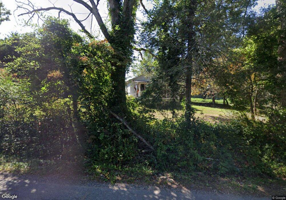
82 Boulevard St Cleveland, GA 30528
Estimated Value: $202,359 - $255,000
3
Beds
1
Bath
1,080
Sq Ft
$214/Sq Ft
Est. Value
About This Home
This home is located at 82 Boulevard St, Cleveland, GA 30528 and is currently estimated at $231,590, approximately $214 per square foot. 82 Boulevard St is a home located in White County with nearby schools including White County 9th Grade Academy, Tesnatee Gap Elementary (Old White County Intermediate), and Jack P. Nix Elementary School.
Ownership History
Date
Name
Owned For
Owner Type
Purchase Details
Closed on
Nov 28, 2012
Sold by
Manning Richard G
Bought by
Westmoreland Fam Partnershi
Current Estimated Value
Purchase Details
Closed on
Dec 29, 2011
Bought by
Manning Richard G
Purchase Details
Closed on
Dec 1, 2006
Sold by
Not Provided
Bought by
Nix Anna
Home Financials for this Owner
Home Financials are based on the most recent Mortgage that was taken out on this home.
Original Mortgage
$106,853
Interest Rate
6.19%
Mortgage Type
New Conventional
Create a Home Valuation Report for This Property
The Home Valuation Report is an in-depth analysis detailing your home's value as well as a comparison with similar homes in the area
Home Values in the Area
Average Home Value in this Area
Purchase History
| Date | Buyer | Sale Price | Title Company |
|---|---|---|---|
| Westmoreland Fam Partnershi | $36,000 | -- | |
| Manning Richard G | $27,900 | -- | |
| Nix Anna | $99,900 | -- |
Source: Public Records
Mortgage History
| Date | Status | Borrower | Loan Amount |
|---|---|---|---|
| Previous Owner | Nix Anna | $106,853 |
Source: Public Records
Tax History Compared to Growth
Tax History
| Year | Tax Paid | Tax Assessment Tax Assessment Total Assessment is a certain percentage of the fair market value that is determined by local assessors to be the total taxable value of land and additions on the property. | Land | Improvement |
|---|---|---|---|---|
| 2025 | $1,028 | $39,696 | $12,000 | $27,696 |
| 2024 | $1,028 | $39,696 | $12,000 | $27,696 |
| 2023 | $1,043 | $37,612 | $12,000 | $25,612 |
| 2022 | $897 | $31,168 | $10,000 | $21,168 |
| 2021 | $817 | $24,964 | $8,000 | $16,964 |
| 2020 | $813 | $23,860 | $8,000 | $15,860 |
| 2019 | $817 | $23,860 | $8,000 | $15,860 |
| 2018 | $817 | $23,860 | $8,000 | $15,860 |
| 2017 | $757 | $22,948 | $8,000 | $14,948 |
| 2016 | $757 | $22,948 | $8,000 | $14,948 |
| 2015 | $727 | $57,370 | $8,000 | $14,948 |
| 2014 | $679 | $54,320 | $0 | $0 |
Source: Public Records
Map
Nearby Homes
- LOT 2 Helipad Rd
- 0 Townview Dr Unit 10495967
- 0 Bryant St
- 230 Campbell St
- 232 Campbell St
- 426 Old Clarksville Hwy
- 915 Holiness
- 1 E Jarrard St
- 225 E Underwood St
- 0 Old Highway 75 S Unit 7656742
- 93 Colonial Dr
- 438 LOT B Dixon Dr
- 150 Hardwood Dr
- LOT 4 Lakeview Dr
- LOT 5 Lakeview Dr
- 488 Old Highway 75 S
- 145 Charles Dr
- 0 W Kytle St Unit 10623685
- 438 Dixon Dr
- 611 Highway 75 S
- 0 Lunsford Ln Unit 7093888
- 0 Lunsford Ln
- 27 Lunsford Ln
- 58 Boulevard St
- 59 Lunsford Ln
- 139 Boulevard St
- 184 Boulevard St
- 153 Boulevard St Unit 6
- 153 Boulevard St
- 153 Boulevard St Unit 39
- 46 Mountain Overlook Dr
- 471 S Main St
- 132 Keene Dr
- 171 Boulevard St
- 80 Mountain Overlook Dr Unit 9
- 80 Mountain Overlook Dr
- 332 Quillian St
- 61 Mountain Overlook Dr
- 187 Boulevard St
- 233 Townview Dr
