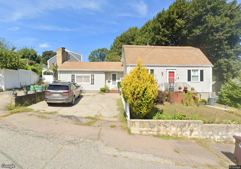
82 Brae Rd North Weymouth, MA 02191
North Weymouth NeighborhoodEstimated Value: $637,584 - $685,000
3
Beds
1
Bath
1,613
Sq Ft
$411/Sq Ft
Est. Value
About This Home
This home is located at 82 Brae Rd, North Weymouth, MA 02191 and is currently estimated at $663,396, approximately $411 per square foot. 82 Brae Rd is a home located in Norfolk County with nearby schools including Wessagusset Elementary School, Abigail Adams Middle School, and Weymouth Middle School Chapman.
Ownership History
Date
Name
Owned For
Owner Type
Purchase Details
Closed on
Feb 2, 2011
Sold by
Milone Debra A
Bought by
Avila Marlon and Avila Mary Ann G
Current Estimated Value
Home Financials for this Owner
Home Financials are based on the most recent Mortgage that was taken out on this home.
Original Mortgage
$243,662
Outstanding Balance
$167,049
Interest Rate
4.82%
Mortgage Type
Purchase Money Mortgage
Estimated Equity
$496,347
Create a Home Valuation Report for This Property
The Home Valuation Report is an in-depth analysis detailing your home's value as well as a comparison with similar homes in the area
Home Values in the Area
Average Home Value in this Area
Purchase History
| Date | Buyer | Sale Price | Title Company |
|---|---|---|---|
| Avila Marlon | $250,000 | -- |
Source: Public Records
Mortgage History
| Date | Status | Borrower | Loan Amount |
|---|---|---|---|
| Open | Avila Marlon | $243,662 |
Source: Public Records
Tax History Compared to Growth
Tax History
| Year | Tax Paid | Tax Assessment Tax Assessment Total Assessment is a certain percentage of the fair market value that is determined by local assessors to be the total taxable value of land and additions on the property. | Land | Improvement |
|---|---|---|---|---|
| 2025 | $5,231 | $517,900 | $219,400 | $298,500 |
| 2024 | $5,067 | $493,400 | $209,000 | $284,400 |
| 2023 | $4,775 | $456,900 | $193,500 | $263,400 |
| 2022 | $4,658 | $406,500 | $179,200 | $227,300 |
| 2021 | $4,465 | $380,300 | $179,200 | $201,100 |
| 2020 | $4,284 | $359,400 | $179,200 | $180,200 |
| 2019 | $4,179 | $344,800 | $172,300 | $172,500 |
| 2018 | $4,050 | $324,000 | $164,100 | $159,900 |
| 2017 | $3,862 | $301,500 | $149,200 | $152,300 |
| 2016 | $3,712 | $290,000 | $143,500 | $146,500 |
| 2015 | $3,482 | $269,900 | $136,600 | $133,300 |
| 2014 | $3,293 | $247,600 | $127,100 | $120,500 |
Source: Public Records
Map
Nearby Homes
- 109 Merryknoll Rd
- 59 Katherine St
- 320 Green St
- 14 Crescent Rd
- 69 Great Hill Dr
- 65 Saning Rd
- 88 Saning Rd
- 43 Flint Locke Dr
- 41 Pecksuot Rd
- 10 Beals Cove Rd Unit C
- 16 Beal's Cove Rd Unit E
- 137 Wessagussett Rd
- 159 Wessagussett Rd
- 2 Winstead Rd
- 10 Shipyard Dr Unit 313
- 504 Tuckers Ln
- 16 Caldwell St
- 30 Puritan Rd
- 73 Broad Reach Unit M36C
- 73 Broad Reach Unit M21C