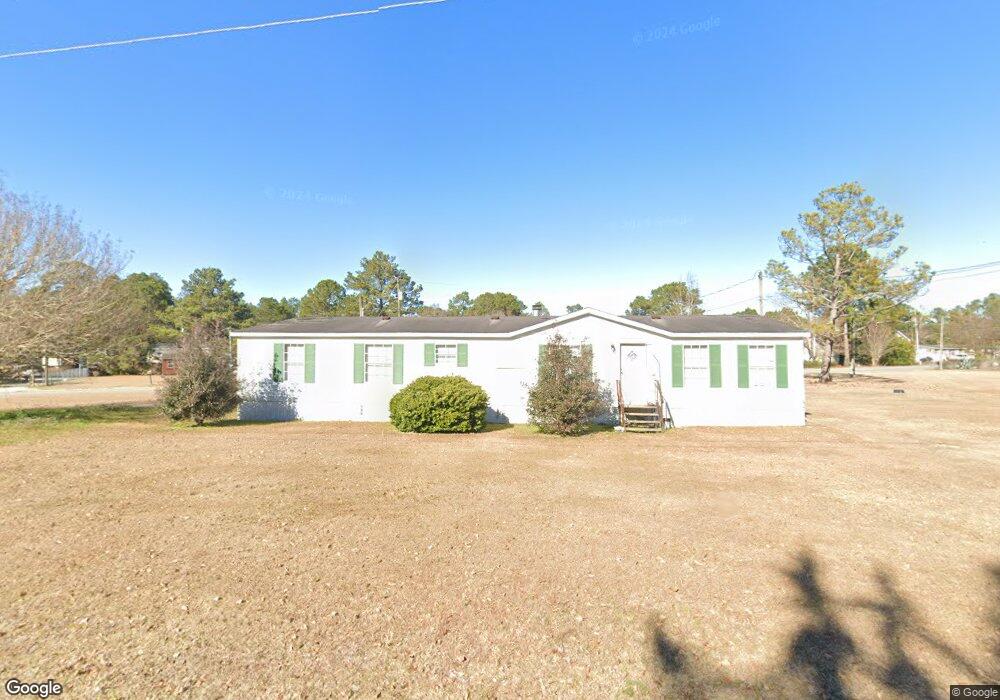
82 Brinson Rd Thomasville, GA 31757
Estimated Value: $79,699 - $334,000
--
Bed
--
Bath
--
Sq Ft
9,148
Sq Ft Lot
About This Home
This home is located at 82 Brinson Rd, Thomasville, GA 31757 and is currently estimated at $163,175. 82 Brinson Rd is a home with nearby schools including Hand in Hand Primary School, Cross Creek Elementary School, and Garrison-Pilcher Elementary School.
Ownership History
Date
Name
Owned For
Owner Type
Purchase Details
Closed on
Jul 6, 2006
Sold by
Jones Ron T
Bought by
King Patricia W
Current Estimated Value
Home Financials for this Owner
Home Financials are based on the most recent Mortgage that was taken out on this home.
Original Mortgage
$25,000
Outstanding Balance
$9,722
Interest Rate
6.54%
Mortgage Type
New Conventional
Estimated Equity
$153,453
Purchase Details
Closed on
Apr 19, 2000
Sold by
Carico Helen M
Bought by
Jones Ron T
Purchase Details
Closed on
Mar 31, 1984
Bought by
Carico Helen M
Create a Home Valuation Report for This Property
The Home Valuation Report is an in-depth analysis detailing your home's value as well as a comparison with similar homes in the area
Home Values in the Area
Average Home Value in this Area
Purchase History
| Date | Buyer | Sale Price | Title Company |
|---|---|---|---|
| King Patricia W | $25,000 | -- | |
| Jones Ron T | -- | -- | |
| Carico Helen M | -- | -- |
Source: Public Records
Mortgage History
| Date | Status | Borrower | Loan Amount |
|---|---|---|---|
| Open | King Patricia W | $25,000 |
Source: Public Records
Tax History Compared to Growth
Tax History
| Year | Tax Paid | Tax Assessment Tax Assessment Total Assessment is a certain percentage of the fair market value that is determined by local assessors to be the total taxable value of land and additions on the property. | Land | Improvement |
|---|---|---|---|---|
| 2024 | $105 | $5,068 | $4,268 | $800 |
| 2023 | $94 | $4,680 | $3,880 | $800 |
| 2022 | $94 | $4,200 | $3,400 | $800 |
| 2021 | $103 | $4,200 | $3,400 | $800 |
| 2020 | $105 | $4,200 | $3,400 | $800 |
| 2019 | $107 | $4,200 | $3,400 | $800 |
| 2018 | $109 | $4,200 | $3,400 | $800 |
| 2017 | $101 | $3,826 | $3,026 | $800 |
| 2016 | $101 | $3,826 | $3,026 | $800 |
| 2015 | $0 | $3,622 | $2,822 | $800 |
| 2014 | -- | $3,622 | $2,822 | $800 |
Source: Public Records
Map
Nearby Homes
- 13310 N Us Hwy 319
- 113 Lost Creek Ln
- 148 Cypress Ln
- 125 Lost Creek Ln
- 0000 Sanford Road (47 83 Acres)
- 220 Dillon Rd (28 Acres)
- 220 Dillon Rd
- 221 Ginger Ln
- 107 Andee Way
- 12112 Us Highway 319 N
- 120 Kelon Dr
- 102 Palm Island Dr
- 108 Kelon Dr
- 104 Palm Island Dr
- 100 Sweetbriar Lakes Dr
- 108 Palm Island Dr
- 109 Jordan Dr
- 101 Sweetbriar Lakes Dr
- 110 Palm Island Dr
- 115 Jordan Dr