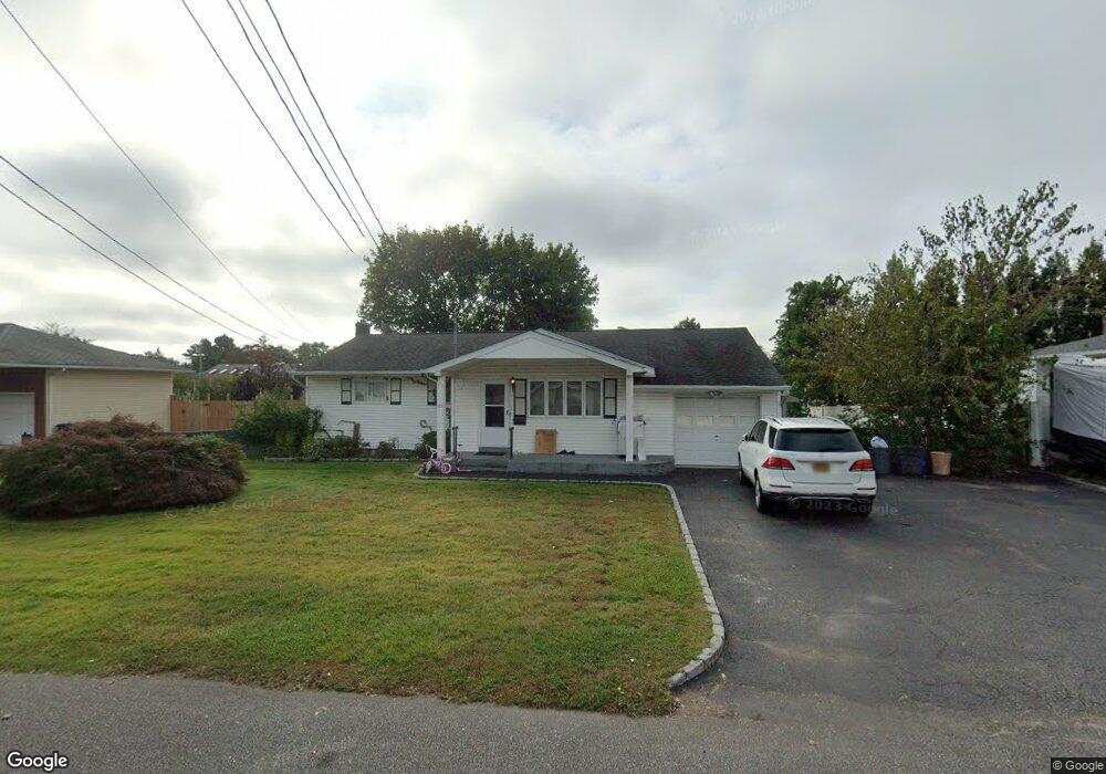
82 Clark St West Babylon, NY 11704
Estimated Value: $647,535 - $681,000
4
Beds
1
Bath
1,156
Sq Ft
$572/Sq Ft
Est. Value
About This Home
This home is located at 82 Clark St, West Babylon, NY 11704 and is currently estimated at $661,634, approximately $572 per square foot. 82 Clark St is a home located in Suffolk County with nearby schools including Robert Moses Middle School and North Babylon High School.
Ownership History
Date
Name
Owned For
Owner Type
Purchase Details
Closed on
Mar 15, 2025
Sold by
Khanija Suresh and Khanija Monica
Bought by
Khanija Lt and Khanija
Current Estimated Value
Purchase Details
Closed on
Nov 16, 2017
Sold by
Romeo Frances Est and Romeo Ex
Bought by
Khanija Suresh and Khanija Monica
Home Financials for this Owner
Home Financials are based on the most recent Mortgage that was taken out on this home.
Original Mortgage
$225,000
Interest Rate
3.94%
Mortgage Type
Purchase Money Mortgage
Create a Home Valuation Report for This Property
The Home Valuation Report is an in-depth analysis detailing your home's value as well as a comparison with similar homes in the area
Home Values in the Area
Average Home Value in this Area
Purchase History
| Date | Buyer | Sale Price | Title Company |
|---|---|---|---|
| Khanija Lt | -- | None Available | |
| Khanija Lt | -- | None Available | |
| Khanija Suresh | $325,000 | -- | |
| Khanija Suresh | $325,000 | -- | |
| Khanija Suresh | $325,000 | -- |
Source: Public Records
Mortgage History
| Date | Status | Borrower | Loan Amount |
|---|---|---|---|
| Previous Owner | Khanija Suresh | $225,000 |
Source: Public Records
Tax History Compared to Growth
Tax History
| Year | Tax Paid | Tax Assessment Tax Assessment Total Assessment is a certain percentage of the fair market value that is determined by local assessors to be the total taxable value of land and additions on the property. | Land | Improvement |
|---|---|---|---|---|
| 2024 | $11,860 | $3,490 | $300 | $3,190 |
| 2023 | $11,860 | $3,490 | $300 | $3,190 |
| 2022 | $9,525 | $3,490 | $300 | $3,190 |
| 2021 | $9,525 | $3,490 | $300 | $3,190 |
| 2020 | $10,832 | $3,490 | $300 | $3,190 |
| 2019 | $10,832 | $0 | $0 | $0 |
| 2018 | $0 | $3,490 | $300 | $3,190 |
| 2017 | $9,585 | $3,490 | $300 | $3,190 |
| 2016 | $9,374 | $3,490 | $300 | $3,190 |
| 2015 | -- | $3,490 | $300 | $3,190 |
| 2014 | -- | $3,490 | $300 | $3,190 |
Source: Public Records
Map
Nearby Homes
- 37 Seward St
- 170 Van Buren St
- 155 Throop St
- 532 Lafayette Rd
- 545 Mount Ave
- 652 Empire Ave
- 130 Claremont Ave
- 305 Alfred St
- 51 Columbia St
- 214 Chelsea Ave
- 56 Suffolk Ave
- 135 Westchester Ave
- 270 Fulton St
- 17 Wright St
- 57 Rockland Ave
- 21 Silver St
- 159 Alicia Dr
- 64 Montgomery Ave
- 7 Cantoni Ct
- 207 Sheffield Ave