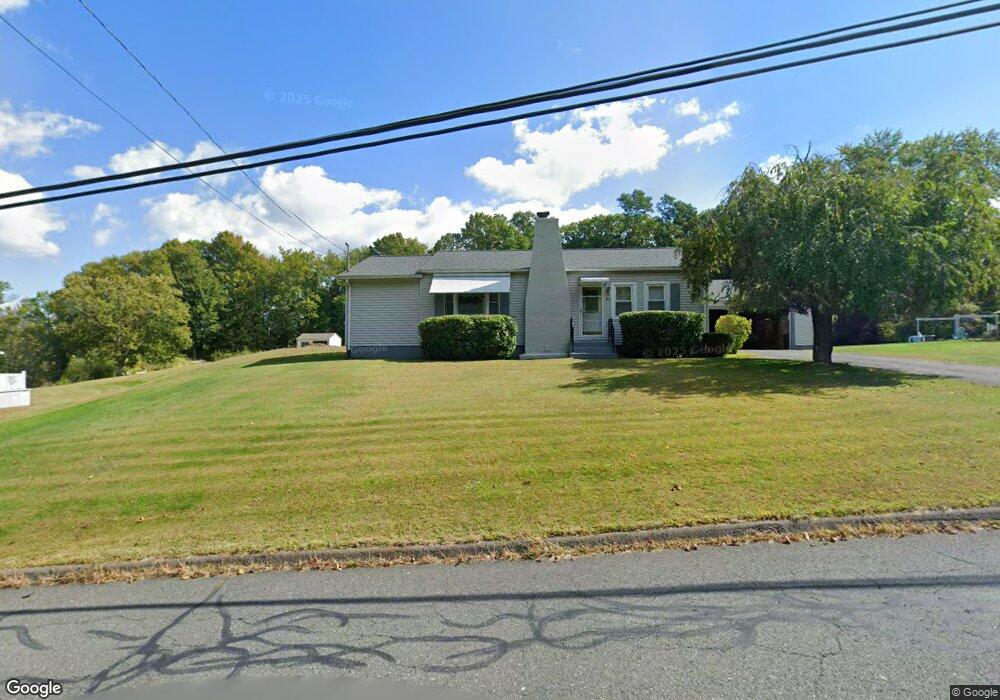
82 Clement St Florence, MA 01062
Florence NeighborhoodEstimated Value: $414,796 - $539,000
3
Beds
1
Bath
1,104
Sq Ft
$448/Sq Ft
Est. Value
About This Home
This home is located at 82 Clement St, Florence, MA 01062 and is currently estimated at $494,949, approximately $448 per square foot. 82 Clement St is a home located in Hampshire County with nearby schools including Northampton High School, Hilltown Cooperative Charter Public School, and The Montessori School of Northampton.
Ownership History
Date
Name
Owned For
Owner Type
Purchase Details
Closed on
Aug 7, 2024
Sold by
Kellogg William C and Kellogg Theresa M
Bought by
Kellogg Eric W and Kellogg Sean J
Current Estimated Value
Purchase Details
Closed on
Jun 21, 2024
Sold by
Weeks Pamela M
Bought by
Kellogg William C and Kellogg Theresa M
Create a Home Valuation Report for This Property
The Home Valuation Report is an in-depth analysis detailing your home's value as well as a comparison with similar homes in the area
Home Values in the Area
Average Home Value in this Area
Purchase History
We collect this data history from publicly available records. To have your information removed, we recommend requesting removal directly through your county’s website.
| Date | Buyer | Sale Price | Title Company |
|---|---|---|---|
| Kellogg Eric W | -- | None Available | |
| Kellogg Eric W | -- | None Available | |
| Kellogg William C | -- | None Available | |
| Kellogg William C | -- | None Available | |
| Kellogg William C | -- | None Available |
Source: Public Records
Tax History
| Year | Tax Paid | Tax Assessment Tax Assessment Total Assessment is a certain percentage of the fair market value that is determined by local assessors to be the total taxable value of land and additions on the property. | Land | Improvement |
|---|---|---|---|---|
| 2025 | $4,217 | $302,700 | $89,200 | $213,500 |
| 2024 | $4,410 | $290,300 | $85,000 | $205,300 |
| 2023 | $60 | $270,800 | $77,200 | $193,600 |
| 2022 | $3,793 | $212,000 | $72,200 | $139,800 |
| 2021 | $66 | $195,500 | $68,800 | $126,700 |
| 2020 | $64 | $195,500 | $68,800 | $126,700 |
| 2019 | $66 | $200,900 | $81,300 | $119,600 |
| 2018 | $65 | $196,000 | $81,300 | $114,700 |
| 2017 | $63 | $196,000 | $81,300 | $114,700 |
| 2016 | $3,167 | $196,000 | $81,300 | $114,700 |
| 2015 | $3,056 | $193,400 | $86,300 | $107,100 |
| 2014 | $2,976 | $193,400 | $86,300 | $107,100 |
Source: Public Records
Map
Nearby Homes
- 635 Florence Rd
- 67 Milton St
- 78 Forbes Ave
- 33 Landy Ave
- 296 Elm St
- 42 Clark St
- 15 Massasoit St
- 9 Khloe Ln
- 61 Woodlawn Ave
- 60 Massasoit St
- 267 Locust St Unit 1A
- 76 Maple St
- 296 Old Wilson Rd
- 44 Westhampton Rd
- 142 Spruce Hill Ave
- 14 Garfield St Unit A1
- 14 Garfield St Unit A2
- 41 N Main St
- 106 Chestnut St
- 283 South St
Your Personal Tour Guide
Ask me questions while you tour the home.