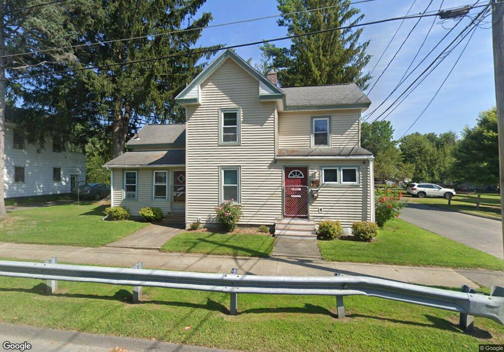
82 Danforth Ave Pittsfield, MA 01201
Estimated Value: $136,000 - $216,000
About This Home
This home is located at 82 Danforth Ave, Pittsfield, MA 01201 and is currently estimated at $172,089, approximately $154 per square foot. 82 Danforth Ave is a home located in Berkshire County with nearby schools including Silvio O. Conte Community School, John T. Reid Middle School, and Taconic High School.
Ownership History
We collect this data history from publicly available records. To have your information removed, we recommend requesting removal directly through your county’s website.
Purchase Details
Purchase Details
Home Financials for this Owner
Home Financials are based on the most recent Mortgage that was taken out on this home.Home Values in the Area
Average Home Value in this Area
Purchase History
We collect this data history from publicly available records. To have your information removed, we recommend requesting removal directly through your county’s website.
| Date | Buyer | Sale Price | Title Company |
|---|---|---|---|
| -- | None Available | ||
| $79,000 | -- | ||
| $21,000 | -- |
Mortgage History
We collect this data history from publicly available records. To have your information removed, we recommend requesting removal directly through your county’s website.
| Date | Status | Borrower | Loan Amount |
|---|---|---|---|
| Previous Owner | $74,000 | ||
| Previous Owner | $75,050 |
Tax History
We collect this data history from publicly available records. To have your information removed, we recommend requesting removal directly through your county’s website.
| Year | Tax Paid | Tax Assessment Tax Assessment Total Assessment is a certain percentage of the fair market value that is determined by local assessors to be the total taxable value of land and additions on the property. | Land | Improvement |
|---|---|---|---|---|
| 2025 | $2,402 | $133,900 | $27,300 | $106,600 |
| 2024 | $2,369 | $128,400 | $27,300 | $101,100 |
| 2023 | $2,195 | $119,800 | $27,300 | $92,500 |
| 2022 | $1,930 | $104,000 | $23,900 | $80,100 |
| 2021 | $1,861 | $96,700 | $23,900 | $72,800 |
| 2020 | $1,847 | $93,700 | $23,900 | $69,800 |
| 2019 | $1,812 | $93,300 | $25,800 | $67,500 |
| 2018 | $1,809 | $91,000 | $25,800 | $65,200 |
| 2017 | $1,771 | $90,200 | $27,300 | $62,900 |
| 2016 | $1,621 | $86,400 | $27,300 | $59,100 |
| 2015 | $1,560 | $86,400 | $27,300 | $59,100 |
Map
- 94 Danforth Ave
- 90 Danforth Ave
- 100 Danforth Ave
- 88 Danforth Ave
- 93 Turner Ave
- 95 Turner Ave
- 112 Danforth Ave
- 91 Turner Ave
- 84 Danforth Ave
- 256 Robbins Ave
- 173 Daniels Ave
- 114 Danforth Ave Unit 2
- 3 Daniels Avenue Extension
- 5 Daniels Avenue Extension
- 167 Daniels Ave
- 255 Robbins Ave
- 94 Turner Ave
- 92 Turner Ave
- 248 Robbins Ave
- 251 Robbins Ave
Ask me questions while you tour the home.