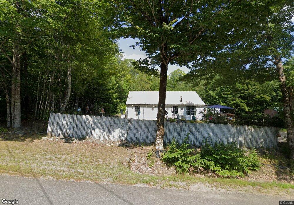
82 Davis Rd Alexander, ME 04694
Estimated Value: $108,337 - $321,000
Studio
--
Bath
--
Sq Ft
43,560
Sq Ft Lot
About This Home
This home is located at 82 Davis Rd, Alexander, ME 04694 and is currently estimated at $175,834. 82 Davis Rd is a home with nearby schools including Alexander Elementary School.
Ownership History
Date
Name
Owned For
Owner Type
Purchase Details
Closed on
Sep 24, 2021
Sold by
Clark Steve and Clark Tami
Bought by
Clark Tami
Current Estimated Value
Home Financials for this Owner
Home Financials are based on the most recent Mortgage that was taken out on this home.
Original Mortgage
$72,000
Interest Rate
3.56%
Mortgage Type
Purchase Money Mortgage
Purchase Details
Closed on
Jul 8, 2005
Sold by
Train Brian and Train Artith
Bought by
Clark Steve
Home Financials for this Owner
Home Financials are based on the most recent Mortgage that was taken out on this home.
Original Mortgage
$32,000
Interest Rate
5.71%
Mortgage Type
Commercial
Create a Home Valuation Report for This Property
The Home Valuation Report is an in-depth analysis detailing your home's value as well as a comparison with similar homes in the area
Purchase History
| Date | Buyer | Sale Price | Title Company |
|---|---|---|---|
| Clark Tami | -- | None Available | |
| Clark Steve | -- | -- |
Source: Public Records
Mortgage History
| Date | Status | Borrower | Loan Amount |
|---|---|---|---|
| Previous Owner | Clark Tami | $72,000 | |
| Previous Owner | Clark Steve | $32,000 |
Source: Public Records
Tax History
| Year | Tax Paid | Tax Assessment Tax Assessment Total Assessment is a certain percentage of the fair market value that is determined by local assessors to be the total taxable value of land and additions on the property. | Land | Improvement |
|---|---|---|---|---|
| 2025 | $1,382 | $95,953 | $24,700 | $71,253 |
| 2024 | $1,297 | $96,062 | $24,700 | $71,362 |
| 2023 | $1,154 | $67,900 | $19,000 | $48,900 |
| 2022 | $1,168 | $67,900 | $19,000 | $48,900 |
| 2021 | $1,202 | $67,900 | $19,000 | $48,900 |
| 2020 | $1,236 | $67,900 | $19,000 | $48,900 |
| 2019 | $1,263 | $67,900 | $19,000 | $48,900 |
| 2018 | $1,154 | $67,900 | $19,000 | $48,900 |
| 2017 | $1,127 | $67,900 | $19,000 | $48,900 |
| 2016 | $1,117 | $67,900 | $19,000 | $48,900 |
| 2015 | $1,001 | $62,760 | $18,600 | $44,160 |
| 2013 | $1,010 | $62,760 | $18,600 | $44,160 |
Source: Public Records
Map
Nearby Homes
- 199 Arm Rd
- 41 Hickory Ln
- 1.3 ac Off Barrows Lake Rd
- 4601 B Airline Rd
- M1978L91G Airline Rd
- 77 S Princeton Rd
- 7 Christmas Cove Rd
- 69K Christmas Cove Rd
- 20 Chase Brook Dr
- 47 Chase Rd
- 43 Chase Rd
- Lot128C Love Lake Rd
- 382 Woodland Rd
- 180 Bear Cove Rd
- 481 Airline Rd
- 0 Dead Stream Unit 1628793
- 760 Houlton Rd
- 10 Palm St
- 9 Summit St
- 60 Summit St
Your Personal Tour Guide
Ask me questions while you tour the home.