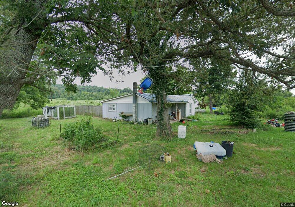
82 Dearing Cemetery Rd Princeton, KY 42445
Estimated Value: $127,000 - $336,475
3
Beds
1
Bath
1,344
Sq Ft
$157/Sq Ft
Est. Value
About This Home
This home is located at 82 Dearing Cemetery Rd, Princeton, KY 42445 and is currently estimated at $210,369, approximately $156 per square foot. 82 Dearing Cemetery Rd is a home located in Caldwell County with nearby schools including Caldwell County Primary School, Caldwell County Elementary School, and Caldwell County Middle School.
Ownership History
Date
Name
Owned For
Owner Type
Purchase Details
Closed on
Sep 24, 2007
Sold by
White Thomas Wayne and White Beverly Diann
Bought by
Bump James R and Bump Susan M
Current Estimated Value
Home Financials for this Owner
Home Financials are based on the most recent Mortgage that was taken out on this home.
Original Mortgage
$135,000
Outstanding Balance
$22,579
Interest Rate
6.49%
Mortgage Type
FHA
Estimated Equity
$187,790
Create a Home Valuation Report for This Property
The Home Valuation Report is an in-depth analysis detailing your home's value as well as a comparison with similar homes in the area
Home Values in the Area
Average Home Value in this Area
Purchase History
| Date | Buyer | Sale Price | Title Company |
|---|---|---|---|
| Bump James R | $183,000 | None Available |
Source: Public Records
Mortgage History
| Date | Status | Borrower | Loan Amount |
|---|---|---|---|
| Open | Bump James R | $135,000 |
Source: Public Records
Tax History Compared to Growth
Tax History
| Year | Tax Paid | Tax Assessment Tax Assessment Total Assessment is a certain percentage of the fair market value that is determined by local assessors to be the total taxable value of land and additions on the property. | Land | Improvement |
|---|---|---|---|---|
| 2024 | $549 | $67,388 | $0 | $0 |
| 2023 | $553 | $67,388 | $0 | $0 |
| 2022 | $553 | $67,388 | $0 | $0 |
| 2021 | $551 | $67,388 | $0 | $0 |
| 2020 | $552 | $67,388 | $0 | $0 |
| 2019 | $551 | $67,388 | $0 | $0 |
| 2018 | $553 | $67,388 | $0 | $0 |
| 2017 | $552 | $67,388 | $0 | $0 |
| 2016 | $509 | $67,388 | $0 | $0 |
| 2015 | $538 | $67,388 | $0 | $0 |
| 2014 | $537 | $67,388 | $0 | $0 |
| 2013 | -- | $183,000 | $0 | $0 |
Source: Public Records
Map
Nearby Homes
- 418 Lewistown Church Rd
- 67 Beshear Ln
- 707 Vivian Dr
- 325 Wildwood Point
- 380 Wildwood Point
- 123 S Highland Ave
- 000 N Jefferson St
- 415 E Green St
- 1027 N Jefferson St
- 603 Hopkinsville St
- 427 E Market St
- 512 E Market St
- 407 E Market St
- 100 N Chestnut St
- 408 N Hawthorne St
- 608 N Jefferson St
- 402 E Locust St
- 309 N Eagle St
- 605 N Jefferson St
- 108 E Green St
- 2000 Hudgins Rd
- 101 Dearing Cemetery Rd
- 1374 Hudgins Rd
- 2281 Watson Rd
- 2291 Watson Rd
- 3068 Scottsburg Rd
- 3007 Scottsburg Rd
- 3004 Scottsburg Rd
- 1212 Hudgins Rd
- 1054 Hudgins Rd
- 1031 Hudgins Rd
- 2000 Hudgins Rd
- 1866 Jones Keeney Rd
- 630 Lance Nichols Cemetery Rd
- 600 Lance Nichols Cemetery Rd
- 484 Lance Nichols Cemetery Rd
- 418 Lance Nichols Cemetery Rd
- 581 Lance Nichols Cemetery Rd
- 600 Lance Nichols Cemetery Rd
- 2063 Scottsburg Rd