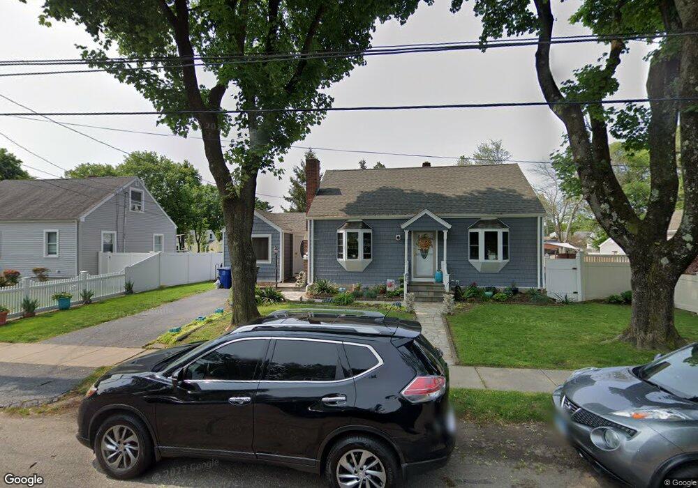
82 Emerald St Bridgeport, CT 06610
North Bridgeport NeighborhoodEstimated Value: $394,000 - $455,000
3
Beds
2
Baths
1,732
Sq Ft
$242/Sq Ft
Est. Value
About This Home
This home is located at 82 Emerald St, Bridgeport, CT 06610 and is currently estimated at $418,300, approximately $241 per square foot. 82 Emerald St is a home located in Fairfield County with nearby schools including Hooker School and Harding High School.
Ownership History
Date
Name
Owned For
Owner Type
Purchase Details
Closed on
Apr 30, 2001
Sold by
Bisciglia Michael C and Bisciglia Janice L
Bought by
Cintron-Ellis Maria G
Current Estimated Value
Home Financials for this Owner
Home Financials are based on the most recent Mortgage that was taken out on this home.
Original Mortgage
$151,000
Interest Rate
6.88%
Create a Home Valuation Report for This Property
The Home Valuation Report is an in-depth analysis detailing your home's value as well as a comparison with similar homes in the area
Home Values in the Area
Average Home Value in this Area
Purchase History
| Date | Buyer | Sale Price | Title Company |
|---|---|---|---|
| Cintron-Ellis Maria G | $171,000 | -- | |
| Cintron-Ellis Maria G | $171,000 | -- |
Source: Public Records
Mortgage History
| Date | Status | Borrower | Loan Amount |
|---|---|---|---|
| Open | Cintron-Ellis Maria G | $110,500 | |
| Closed | Cintron-Ellis Maria G | $149,000 | |
| Closed | Cintron-Ellis Maria G | $151,000 |
Source: Public Records
Tax History Compared to Growth
Tax History
| Year | Tax Paid | Tax Assessment Tax Assessment Total Assessment is a certain percentage of the fair market value that is determined by local assessors to be the total taxable value of land and additions on the property. | Land | Improvement |
|---|---|---|---|---|
| 2025 | $7,119 | $163,840 | $65,700 | $98,140 |
| 2024 | $7,119 | $163,840 | $65,700 | $98,140 |
| 2023 | $7,119 | $163,840 | $65,700 | $98,140 |
| 2022 | $7,119 | $163,840 | $65,700 | $98,140 |
| 2021 | $7,119 | $163,840 | $65,700 | $98,140 |
| 2020 | $7,092 | $131,360 | $53,890 | $77,470 |
| 2019 | $7,092 | $131,360 | $53,890 | $77,470 |
| 2018 | $7,142 | $131,360 | $53,890 | $77,470 |
| 2017 | $7,142 | $131,360 | $53,890 | $77,470 |
| 2016 | $7,142 | $131,360 | $53,890 | $77,470 |
| 2015 | $6,225 | $147,520 | $52,650 | $94,870 |
| 2014 | $6,225 | $147,520 | $52,650 | $94,870 |
Source: Public Records
Map
Nearby Homes
- 115 Silver St
- 275 Roger Williams Rd
- 3699 Broadbridge Ave Unit 107
- 374 Mapledale Place
- 375 Silver St
- 69 Glen Cir
- 50 Pilgrim Rd
- 450 Emerald Place
- 165 Nutmeg Rd
- 11 Knollcrest Dr
- 123 Beverly Dr
- 53 Beverly Dr
- 197 Dupont Place Unit 199
- 80 Daniel Dr
- 29 Old Town Dr
- 206 Huntington Turnpike
- 72 Broadmere Rd
- 181 Islandview Rd
- 120 Huntington Turnpike Unit 202
- 120 Huntington Turnpike Unit 606
- 66 Emerald St
- 98 Emerald St
- 221 Lynne Place
- 54 Emerald St
- 201 Lynne Place
- 112 Emerald St
- 235 Lynne Place
- 81 Emerald St
- 95 Emerald St
- 191 Lynne Place
- 249 Lynne Place
- 65 Emerald St
- 57 Emerald St
- 40 Emerald St
- 205 Greystone Rd
- 109 Emerald St
- 185 Greystone Rd
- 216 Lynne Place
- 39 Emerald St
- 250 Lynne Place