82 Farmhouse Rd New Harbor, ME 04554
Estimated Value: $933,000
--
Bed
--
Bath
--
Sq Ft
1.75
Acres
About This Home
This home is located at 82 Farmhouse Rd, New Harbor, ME 04554 and is currently estimated at $933,000. 82 Farmhouse Rd is a home with nearby schools including Bristol Consolidated School.
Ownership History
Date
Name
Owned For
Owner Type
Purchase Details
Closed on
Jan 21, 2023
Sold by
Lurie David E and Lurie Jonathan B
Bought by
82 Farmhouse Road Rt and Lurie
Current Estimated Value
Purchase Details
Closed on
Jan 17, 2023
Sold by
A Lurie Remainder T A
Bought by
Lurie Jonathan B and Lurie David E
Purchase Details
Closed on
Apr 29, 2014
Sold by
Abraham A Lurie Ret and Lurie
Bought by
Lurie Natalie
Purchase Details
Closed on
Jun 20, 2008
Sold by
Lurie Abraham A
Bought by
Abraham A Lurie Ret and Lurie
Create a Home Valuation Report for This Property
The Home Valuation Report is an in-depth analysis detailing your home's value as well as a comparison with similar homes in the area
Home Values in the Area
Average Home Value in this Area
Purchase History
| Date | Buyer | Sale Price | Title Company |
|---|---|---|---|
| 82 Farmhouse Road Rt | -- | None Available | |
| 82 Farmhouse Road Rt | -- | None Available | |
| Lurie Jonathan B | -- | None Available | |
| Lurie Jonathan B | -- | None Available | |
| Lurie Natalie | -- | -- | |
| Lurie Natalie | -- | -- | |
| Abraham A Lurie Ret | -- | -- | |
| Abraham A Lurie Ret | -- | -- |
Source: Public Records
Tax History Compared to Growth
Tax History
| Year | Tax Paid | Tax Assessment Tax Assessment Total Assessment is a certain percentage of the fair market value that is determined by local assessors to be the total taxable value of land and additions on the property. | Land | Improvement |
|---|---|---|---|---|
| 2024 | $7,339 | $824,600 | $607,500 | $217,100 |
| 2023 | $6,178 | $777,100 | $607,500 | $169,600 |
| 2022 | $5,595 | $777,100 | $607,500 | $169,600 |
| 2021 | $5,595 | $777,100 | $607,500 | $169,600 |
| 2020 | $5,634 | $777,100 | $607,500 | $169,600 |
| 2019 | $5,245 | $777,100 | $607,500 | $169,600 |
| 2018 | $4,857 | $777,100 | $607,500 | $169,600 |
| 2017 | $4,857 | $777,100 | $607,500 | $169,600 |
| 2016 | $6,097 | $771,800 | $650,900 | $120,900 |
| 2015 | $6,522 | $771,800 | $650,900 | $120,900 |
| 2014 | $6,097 | $771,800 | $650,900 | $120,900 |
| 2013 | $5,943 | $771,800 | $650,900 | $120,900 |
Source: Public Records
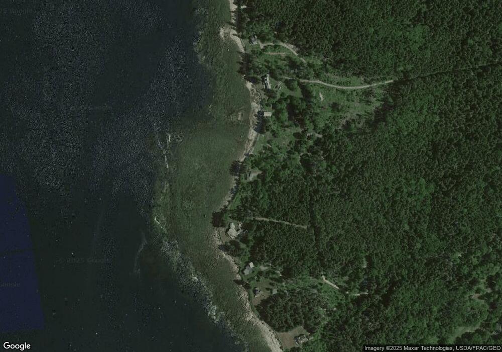
Map
Nearby Homes
- 20 Ocean Side Ln
- 49 Seawood Park Rd
- 95 Pumpkin Cove Rd
- Lot 11 Nahanada Rd
- Lot 13 Nahanada Rd
- 37 Yellow Head Rd
- 1B Old Mill Rd
- 165 McFarland Shore Rd
- 2700 Bristol Rd
- M2-L55F Bristol Rd
- 82 Pemaquid Trail
- 42 Old Mill Rd
- 45 Old Mill Rd
- 0 McFarland Shore Rd
- Lts 23A&24 Birch Island
- 2593 Bristol Rd
- 75 Snowball Hill Rd
- 5 Penniman Rd
- 1 Fish Point Rd
- 211 Snowball Hill Rd
- 78 Farmhouse Rd
- 62 Jones Farm Rd
- 75 Jones Farm Rd
- 16 Fogler Rd
- 12 Aquahela Place
- 6 Vollmer Rd
- 21&23 Arrowhead Rd
- 00 Bristol Rd
- 7 Pine Haven Ln
- 24 Pine Haven Ln
- 59 Bay Pines
- 18 Mavosheen Way
- 0 Rose Way Unit 1233427
- 4 Rose Way
- 5 and 7 Pine Haven Ln
- 5 Pine Haven Ln
- 7 Arrowhead Ln
- 34 Bay Pines
- 51 Bay Pines
- 21 Mavosheen Way