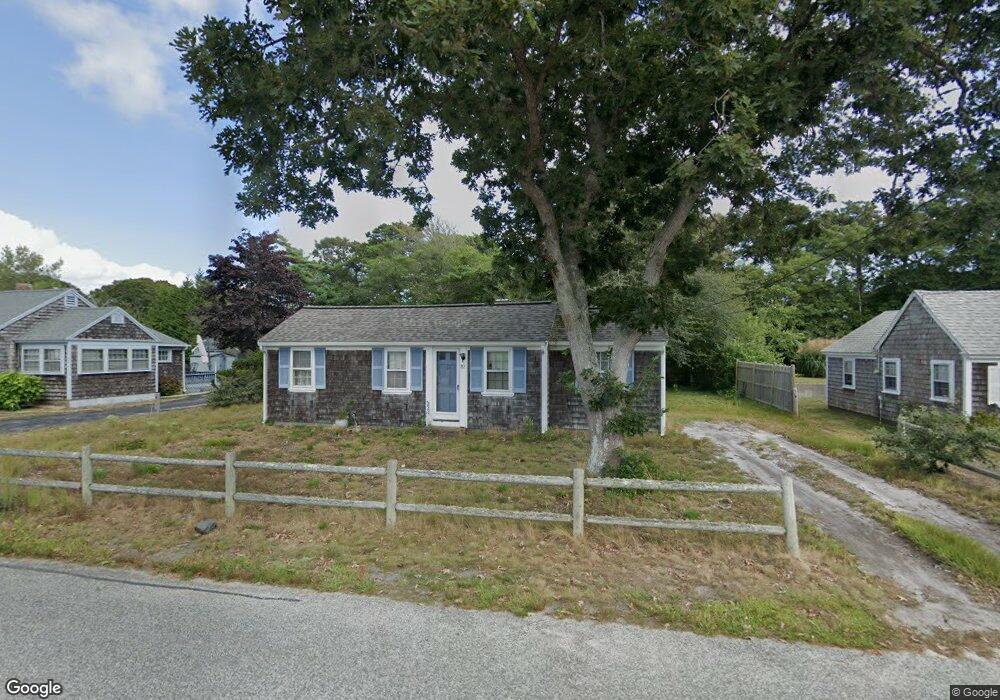
82 Glendon Rd Dennis Port, MA 02639
Dennis Port NeighborhoodEstimated Value: $451,000 - $601,172
2
Beds
1
Bath
764
Sq Ft
$688/Sq Ft
Est. Value
About This Home
This home is located at 82 Glendon Rd, Dennis Port, MA 02639 and is currently estimated at $525,543, approximately $687 per square foot. 82 Glendon Rd is a home located in Barnstable County with nearby schools including Dennis-Yarmouth Regional High School and St. Pius X. School.
Ownership History
Date
Name
Owned For
Owner Type
Purchase Details
Closed on
Aug 6, 2007
Sold by
Scamman Amy B and Hoey Robin
Bought by
Woods Faith
Current Estimated Value
Create a Home Valuation Report for This Property
The Home Valuation Report is an in-depth analysis detailing your home's value as well as a comparison with similar homes in the area
Home Values in the Area
Average Home Value in this Area
Purchase History
| Date | Buyer | Sale Price | Title Company |
|---|---|---|---|
| Woods Faith | $161,172 | -- | |
| Woods Faith | $161,172 | -- |
Source: Public Records
Tax History Compared to Growth
Tax History
| Year | Tax Paid | Tax Assessment Tax Assessment Total Assessment is a certain percentage of the fair market value that is determined by local assessors to be the total taxable value of land and additions on the property. | Land | Improvement |
|---|---|---|---|---|
| 2025 | $2,192 | $506,200 | $286,400 | $219,800 |
| 2024 | $2,050 | $467,000 | $275,400 | $191,600 |
| 2023 | $1,983 | $424,700 | $250,400 | $174,300 |
| 2022 | $1,819 | $324,800 | $197,400 | $127,400 |
| 2021 | $1,811 | $300,400 | $193,500 | $106,900 |
| 2020 | $1,773 | $290,600 | $193,500 | $97,100 |
| 2019 | $1,819 | $294,800 | $206,000 | $88,800 |
| 2018 | $1,756 | $277,000 | $196,100 | $80,900 |
| 2017 | $1,592 | $258,900 | $180,600 | $78,300 |
| 2016 | $1,538 | $235,600 | $170,300 | $65,300 |
| 2015 | $1,508 | $235,600 | $170,300 | $65,300 |
| 2014 | $1,430 | $225,200 | $159,900 | $65,300 |
Source: Public Records
Map
Nearby Homes
- 154 Old Wharf Rd Unit 26
- 154 Old Wharf Rd Unit 14
- 217 Old Wharf Rd Unit 64
- 64 Beaten Rd
- 120 Old Wharf Rd Unit 11
- 112 Old Wharf Rd Unit E4
- 112 Old Wharf Rd Unit E1
- 241 Old Wharf Rd Unit 82
- 241 Old Wharf Rd Unit 127
- 241 Old Wharf Rd Unit 90
- 37 Ocean Dr Unit 2
- 262 Old Wharf Rd Unit 67
- 262 Old Wharf Rd Unit 5
- 262 Old Wharf Rd Unit 5
- 262 Old Wharf Rd Unit 20
- 262 Old Wharf Rd Unit 87
- 37 Beach Hills Rd
- 37-A Beach Hills Rd
- 31 Easy St
- 22 Ferncliff Rd
- 86 Glendon Rd
- 78 Glendon Rd
- 88 Glendon Rd
- 74 Glendon Rd
- 75 Glendon Rd Unit 75A
- 75 Glendon Rd
- 69 Glendon Rd
- 69 Glendon Rd Unit B
- 79 Glendon Rd
- 81 Glendon Rd
- 72 Glendon Rd
- 89 Glendon Rd
- 89 Glendon Rd Unit A & B
- 69-A Glendon Rd
- 69A Glendon Rd
- 96 Glendon Rd
- 71 Glendon Rd
- 69-B Glendon Rd
- 68 Glendon Rd
- 69B Glendon Rd