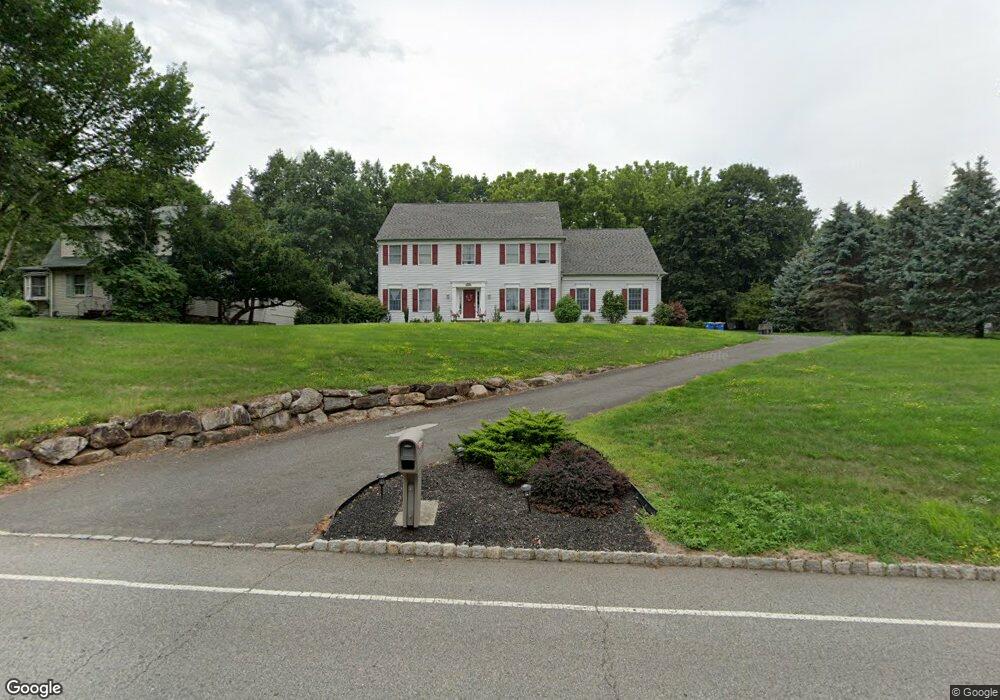
82 Haas Rd Basking Ridge, NJ 07920
Estimated Value: $1,292,032 - $1,373,000
--
Bed
--
Bath
3,200
Sq Ft
$417/Sq Ft
Est. Value
About This Home
This home is located at 82 Haas Rd, Basking Ridge, NJ 07920 and is currently estimated at $1,333,508, approximately $416 per square foot. 82 Haas Rd is a home located in Somerset County with nearby schools including Cedar Hill Elementary School, William Annin Middle School, and Ridge High School.
Ownership History
Date
Name
Owned For
Owner Type
Purchase Details
Closed on
Sep 16, 2015
Sold by
Twp Of Bernards
Bought by
Heough Stephen K and Bocchino Serena M
Current Estimated Value
Purchase Details
Closed on
Aug 4, 1999
Sold by
Alessandro Menza Beissel D
Bought by
Keough Stephen and Bocchino Serena
Home Financials for this Owner
Home Financials are based on the most recent Mortgage that was taken out on this home.
Original Mortgage
$200,000
Interest Rate
7.65%
Create a Home Valuation Report for This Property
The Home Valuation Report is an in-depth analysis detailing your home's value as well as a comparison with similar homes in the area
Home Values in the Area
Average Home Value in this Area
Purchase History
| Date | Buyer | Sale Price | Title Company |
|---|---|---|---|
| Heough Stephen K | -- | None Available | |
| Keough Stephen | $529,000 | -- |
Source: Public Records
Mortgage History
| Date | Status | Borrower | Loan Amount |
|---|---|---|---|
| Previous Owner | Keough Stephen | $200,000 |
Source: Public Records
Tax History Compared to Growth
Tax History
| Year | Tax Paid | Tax Assessment Tax Assessment Total Assessment is a certain percentage of the fair market value that is determined by local assessors to be the total taxable value of land and additions on the property. | Land | Improvement |
|---|---|---|---|---|
| 2025 | $17,712 | $1,135,000 | $362,100 | $772,900 |
| 2024 | $17,712 | $995,600 | $314,600 | $681,000 |
| 2023 | $17,112 | $907,300 | $314,600 | $592,700 |
| 2022 | $17,407 | $865,600 | $305,100 | $560,500 |
| 2021 | $17,146 | $812,600 | $305,100 | $507,500 |
| 2020 | $16,943 | $809,100 | $305,100 | $504,000 |
| 2019 | $17,130 | $842,200 | $305,100 | $537,100 |
| 2018 | $16,886 | $842,200 | $305,100 | $537,100 |
| 2017 | $16,775 | $843,400 | $305,100 | $538,300 |
| 2016 | $16,572 | $849,400 | $305,100 | $544,300 |
| 2015 | $16,411 | $856,500 | $305,100 | $551,400 |
| 2014 | $16,265 | $841,000 | $309,900 | $531,100 |
Source: Public Records
Map
Nearby Homes
- 48 Commonwealth Dr Ondo
- 41 Smithfield Ct Unit 5
- 488 King George Rd
- 185 Jamestown Rd
- 95 Jamestown Rd Ondo
- 155 Jamestown Rd
- 21 Alexandria Way
- 71 Alexandria Way Unit 3
- 49 Alexandria Way Unit 5
- 138 Potomac Dr Condo
- 168 Potomac Dr Condo Unit 168
- 192 Potomac Dr Condo Unit 192
- 1 Joss Way
- 23 Hampton Ct
- 176 Potomac Dr
- 138 Alexandria Way Condo Unit 138
- 280 Alexandria Way
- 1 Potomac Dr Condo
- 103 Potomac Dr
- 242 Alexandria Way