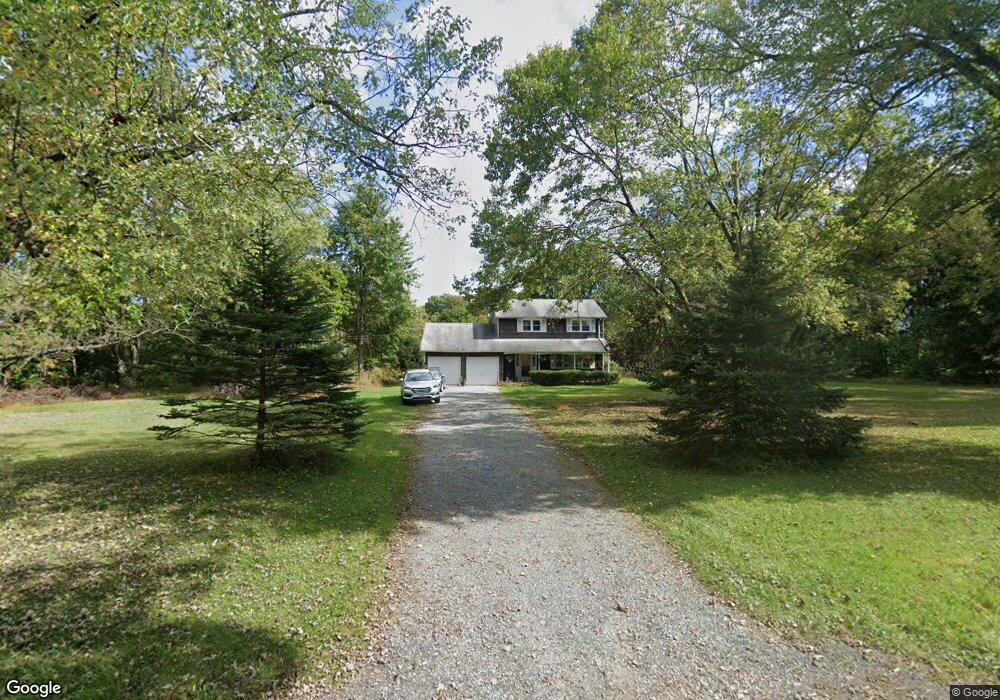
82 Hampton Rd Pittstown, NJ 08867
Estimated Value: $439,267 - $552,000
Studio
--
Bath
1,320
Sq Ft
$378/Sq Ft
Est. Value
About This Home
This home is located at 82 Hampton Rd, Pittstown, NJ 08867 and is currently estimated at $499,067, approximately $378 per square foot. 82 Hampton Rd is a home located in Hunterdon County with nearby schools including Delaware Valley Regional High School.
Ownership History
Date
Name
Owned For
Owner Type
Purchase Details
Closed on
Dec 7, 2002
Sold by
Kowalski Walter C
Bought by
Kowalski Walter C
Current Estimated Value
Home Financials for this Owner
Home Financials are based on the most recent Mortgage that was taken out on this home.
Original Mortgage
$96,000
Outstanding Balance
$41,088
Interest Rate
6.19%
Estimated Equity
$457,979
Purchase Details
Closed on
Feb 6, 1993
Sold by
Kowalski Arlene and Kowalski Kathy A
Bought by
Kowalski Walter C and Kowalski Karen A
Create a Home Valuation Report for This Property
The Home Valuation Report is an in-depth analysis detailing your home's value as well as a comparison with similar homes in the area
Home Values in the Area
Average Home Value in this Area
Purchase History
| Date | Buyer | Sale Price | Title Company |
|---|---|---|---|
| Kowalski Walter C | -- | -- | |
| Kowalski Walter C | -- | -- |
Source: Public Records
Mortgage History
| Date | Status | Borrower | Loan Amount |
|---|---|---|---|
| Open | Kowalski Walter C | $96,000 |
Source: Public Records
Tax History
| Year | Tax Paid | Tax Assessment Tax Assessment Total Assessment is a certain percentage of the fair market value that is determined by local assessors to be the total taxable value of land and additions on the property. | Land | Improvement |
|---|---|---|---|---|
| 2025 | $7,598 | $301,400 | $188,300 | $113,100 |
| 2024 | $7,668 | $301,400 | $188,300 | $113,100 |
Source: Public Records
Map
Nearby Homes
- 1068 County Road519
- 1491&1493 Cty Rd 519
- 240 Oak Grove Rd
- 56 Old Route12
- 271 County Road 513
- 990 County Road 519
- 24 Locust Grove Rd
- 1491&1493 County Road 519
- 7 Maple Springs Rd
- 383 Pittstown Rd
- 124 Fitzer Rd
- 130 Fitzer Rd
- 1663 County Road 519
- 863 County Road 519
- 20 Northwood Dr
- 550 Barbertown Point Breeze Rd
- 19 Thatcher Rd
- 152 County Road 513
- 2 Shrope Ln
- 37 Barbertown Point Breeze Rd Unit 3 LOT
- 80 Hampton Rd
- 78 Hampton Rd
- 135 Hampton Rd
- 74 Hampton Rd
- 137 Hampton Rd
- 141 Hampton Rd
- 70 Hampton Rd
- 143 Hampton Rd
- 164 Oak Summit Rd
- 68 Hampton Rd
- 160 Oak Summit Rd
- 66 Hampton Rd
- 146 Oak Summit Rd
- 159 Oak Summit Rd
- 64 Hampton Rd
- 138 Oak Summit Rd
- 183 Oak Summit Rd
- 60 Hampton Rd
- 134 Oak Summit Rd
- 147 Oak Summit Rd
Your Personal Tour Guide
Ask me questions while you tour the home.