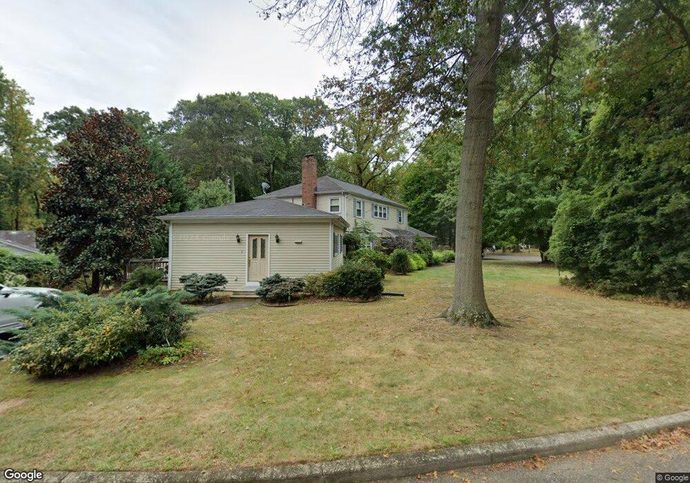
82 Hattie Ct Middletown, NJ 07748
New Monmouth NeighborhoodEstimated Value: $966,630 - $1,317,000
5
Beds
3
Baths
2,588
Sq Ft
$424/Sq Ft
Est. Value
About This Home
This home is located at 82 Hattie Ct, Middletown, NJ 07748 and is currently estimated at $1,096,158, approximately $423 per square foot. 82 Hattie Ct is a home located in Monmouth County with nearby schools including Nut Swamp Elementary School, Thompson Middle School, and Middletown - South High School.
Ownership History
Date
Name
Owned For
Owner Type
Purchase Details
Closed on
Nov 6, 2008
Sold by
Nolan James and Nolan Sophie
Bought by
Nolan James and Nolan Sophie
Current Estimated Value
Purchase Details
Closed on
Nov 14, 2005
Sold by
Weisbrot Martin
Bought by
Nolan James and Nolan Sophie
Home Financials for this Owner
Home Financials are based on the most recent Mortgage that was taken out on this home.
Original Mortgage
$520,000
Outstanding Balance
$286,656
Interest Rate
6.14%
Mortgage Type
New Conventional
Estimated Equity
$809,502
Create a Home Valuation Report for This Property
The Home Valuation Report is an in-depth analysis detailing your home's value as well as a comparison with similar homes in the area
Home Values in the Area
Average Home Value in this Area
Purchase History
| Date | Buyer | Sale Price | Title Company |
|---|---|---|---|
| Nolan James | -- | Stewart Title Guaranty Co | |
| Nolan James | $645,000 | -- |
Source: Public Records
Mortgage History
| Date | Status | Borrower | Loan Amount |
|---|---|---|---|
| Open | Nolan James | $520,000 |
Source: Public Records
Tax History Compared to Growth
Tax History
| Year | Tax Paid | Tax Assessment Tax Assessment Total Assessment is a certain percentage of the fair market value that is determined by local assessors to be the total taxable value of land and additions on the property. | Land | Improvement |
|---|---|---|---|---|
| 2025 | $11,717 | $846,900 | $427,200 | $419,700 |
| 2024 | $11,229 | $712,300 | $348,400 | $363,900 |
| 2023 | $11,229 | $646,100 | $290,700 | $355,400 |
| 2022 | $10,758 | $586,700 | $248,300 | $338,400 |
| 2021 | $10,758 | $517,200 | $216,200 | $301,000 |
| 2020 | $10,746 | $502,600 | $208,400 | $294,200 |
| 2019 | $11,196 | $530,100 | $208,400 | $321,700 |
| 2018 | $13,581 | $626,700 | $249,700 | $377,000 |
| 2017 | $12,848 | $604,900 | $234,000 | $370,900 |
| 2016 | $13,361 | $627,000 | $264,000 | $363,000 |
| 2015 | $12,765 | $597,600 | $244,000 | $353,600 |
| 2014 | $12,195 | $557,100 | $234,000 | $323,100 |
Source: Public Records
Map
Nearby Homes
- 83 Green Meadow Blvd
- 911 Middletown Lincroft Rd
- 17 Terry Ln
- 7 Cormorant Dr
- 20 Cormorant Dr
- 234 Borden Rd
- 74 Fish Hawk Dr
- 185 Ballantine Rd
- 11 Mayflower Dr
- 93 Wallace Rd
- 7 Boxwood Terrace Unit 250
- 246 Sunnyside Rd
- 59 Boxwood Terrace
- 1476 W Front St
- 164 Arrowwood Ct
- 50 Hancock Ct Unit 129B
- 80 Boxwood Terrace
- 60 Privet Place
- 1497 W Front St
- 45 Turnberry Dr