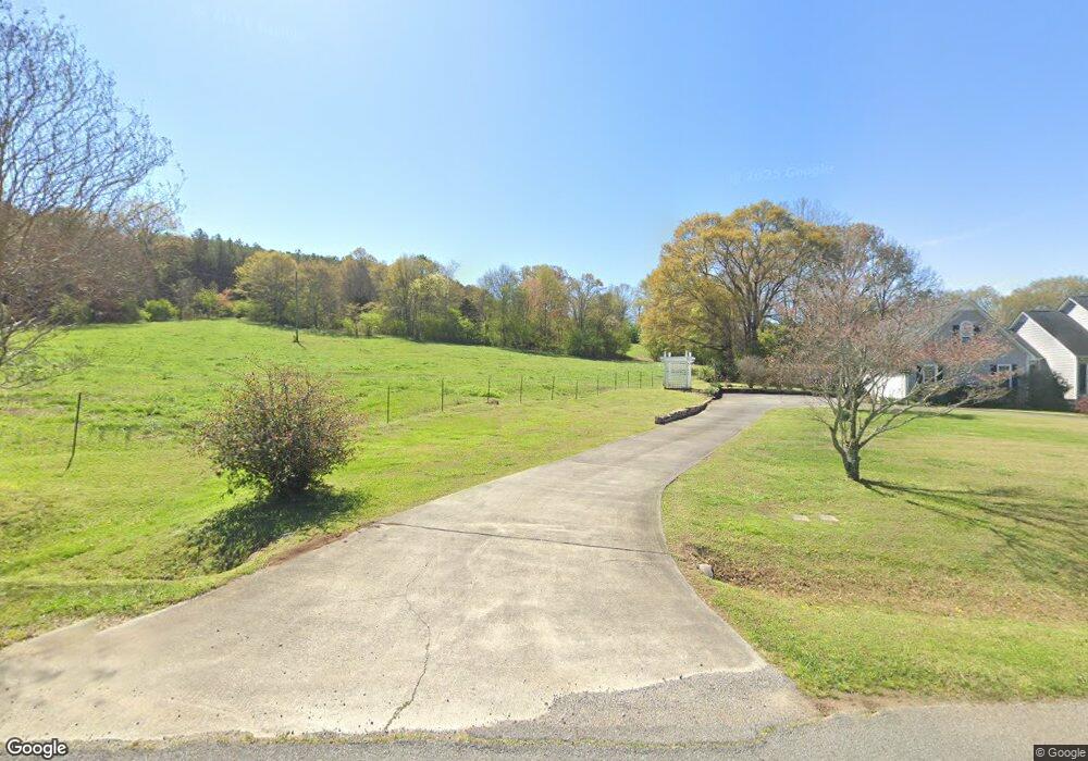
82 Hopkins Rd NW Adairsville, GA 30103
Estimated Value: $294,000 - $357,000
3
Beds
2
Baths
1,528
Sq Ft
$206/Sq Ft
Est. Value
About This Home
This home is located at 82 Hopkins Rd NW, Adairsville, GA 30103 and is currently estimated at $315,162, approximately $206 per square foot. 82 Hopkins Rd NW is a home located in Bartow County with nearby schools including Adairsville Elementary School, Adairsville Middle School, and Adairsville High School.
Ownership History
Date
Name
Owned For
Owner Type
Purchase Details
Closed on
Feb 3, 2021
Sold by
Bailey Sandy Thomas
Bought by
Bailey Sandy Thomas and Bailey Molly Andora
Current Estimated Value
Home Financials for this Owner
Home Financials are based on the most recent Mortgage that was taken out on this home.
Original Mortgage
$198,238
Outstanding Balance
$177,149
Interest Rate
2.65%
Mortgage Type
VA
Estimated Equity
$138,013
Purchase Details
Closed on
Sep 21, 2018
Sold by
Scoggins Daphne H
Bought by
Bailey Sandy Thomas
Home Financials for this Owner
Home Financials are based on the most recent Mortgage that was taken out on this home.
Original Mortgage
$199,192
Interest Rate
4.5%
Mortgage Type
New Conventional
Create a Home Valuation Report for This Property
The Home Valuation Report is an in-depth analysis detailing your home's value as well as a comparison with similar homes in the area
Home Values in the Area
Average Home Value in this Area
Purchase History
| Date | Buyer | Sale Price | Title Company |
|---|---|---|---|
| Bailey Sandy Thomas | -- | -- | |
| Bailey Sandy Thomas | $195,000 | -- |
Source: Public Records
Mortgage History
| Date | Status | Borrower | Loan Amount |
|---|---|---|---|
| Open | Bailey Sandy Thomas | $198,238 | |
| Previous Owner | Bailey Sandy Thomas | $199,192 |
Source: Public Records
Tax History Compared to Growth
Tax History
| Year | Tax Paid | Tax Assessment Tax Assessment Total Assessment is a certain percentage of the fair market value that is determined by local assessors to be the total taxable value of land and additions on the property. | Land | Improvement |
|---|---|---|---|---|
| 2024 | $2,282 | $103,821 | $21,229 | $82,592 |
| 2023 | $2,367 | $80,066 | $14,131 | $65,935 |
| 2022 | $1,861 | $79,862 | $13,927 | $65,935 |
| 2021 | $1,495 | $62,647 | $13,927 | $48,720 |
| 2020 | $1,584 | $62,647 | $13,927 | $48,720 |
| 2019 | $1,097 | $44,520 | $7,440 | $37,080 |
| 2018 | $441 | $44,520 | $7,440 | $37,080 |
| 2017 | $442 | $44,520 | $7,440 | $37,080 |
| 2016 | $443 | $44,520 | $7,440 | $37,080 |
| 2015 | $443 | $44,520 | $7,440 | $37,080 |
| 2014 | $403 | $42,200 | $7,440 | $34,760 |
| 2013 | -- | $37,960 | $6,400 | $31,560 |
Source: Public Records
Map
Nearby Homes
- 64 Hopkins Farm Dr
- 62 Hopkins Farm Dr
- 0 Hopkins Farms Dr
- 66 Hopkins Farm Dr
- 68 Hopkins Farm Dr
- 68 Oak Grove Rd NW
- 58 Hopkins Farm Dr
- 20 Hames Point
- 70 Hopkins Farm Dr
- 64 Oak Grove Rd NW
- 100 Oak Grove Rd NW
- 56 Hopkins Farm Dr
- 10 Farmstead Ct
- 18 Hames Pointe
- 70 Hopkins Rd NW
- 72 Hopkins Farm Dr
- 71 Hopkins Farm Dr
- 73 Hopkins Farm Dr
- 54 Hopkins Farm Dr
- 19 Hames Point