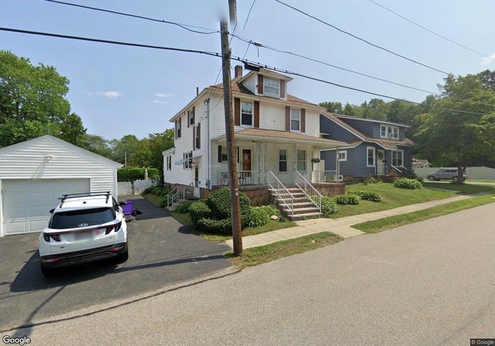
82 Leonard Ave Haverhill, MA 01835
Central Bradford NeighborhoodEstimated Value: $643,000 - $669,000
3
Beds
2
Baths
2,298
Sq Ft
$286/Sq Ft
Est. Value
About This Home
This home is located at 82 Leonard Ave, Haverhill, MA 01835 and is currently estimated at $657,736, approximately $286 per square foot. 82 Leonard Ave is a home located in Essex County with nearby schools including Bradford Elementary School, Haverhill High School, and Sacred Heart School.
Ownership History
Date
Name
Owned For
Owner Type
Purchase Details
Closed on
Jun 25, 1991
Sold by
Danese William A
Bought by
Danese Clementina E
Current Estimated Value
Home Financials for this Owner
Home Financials are based on the most recent Mortgage that was taken out on this home.
Original Mortgage
$90,000
Interest Rate
9.37%
Mortgage Type
Purchase Money Mortgage
Create a Home Valuation Report for This Property
The Home Valuation Report is an in-depth analysis detailing your home's value as well as a comparison with similar homes in the area
Home Values in the Area
Average Home Value in this Area
Purchase History
| Date | Buyer | Sale Price | Title Company |
|---|---|---|---|
| Danese Clementina E | $75,000 | -- |
Source: Public Records
Mortgage History
| Date | Status | Borrower | Loan Amount |
|---|---|---|---|
| Open | Danese Clementina E | $70,000 | |
| Closed | Danese Clementina E | $25,000 | |
| Closed | Danese Clementina E | $90,500 | |
| Closed | Danese Clementina E | $90,000 |
Source: Public Records
Tax History Compared to Growth
Tax History
| Year | Tax Paid | Tax Assessment Tax Assessment Total Assessment is a certain percentage of the fair market value that is determined by local assessors to be the total taxable value of land and additions on the property. | Land | Improvement |
|---|---|---|---|---|
| 2025 | $6,195 | $578,400 | $194,200 | $384,200 |
| 2024 | $5,709 | $536,600 | $194,200 | $342,400 |
| 2023 | $5,523 | $495,300 | $182,900 | $312,400 |
| 2022 | $5,405 | $424,900 | $174,800 | $250,100 |
| 2021 | $5,113 | $380,400 | $160,200 | $220,200 |
| 2020 | $5,054 | $371,600 | $155,400 | $216,200 |
| 2019 | $5,184 | $371,600 | $155,400 | $216,200 |
| 2018 | $5,007 | $351,100 | $148,900 | $202,200 |
| 2017 | $4,749 | $316,800 | $129,500 | $187,300 |
| 2016 | $4,705 | $306,300 | $123,000 | $183,300 |
| 2015 | $4,507 | $293,600 | $110,100 | $183,500 |
Source: Public Records
Map
Nearby Homes
- 65 Stetson St
- 32 Harding Ave
- 26 Harding Ave
- 37 Byron St
- 30 Colby St
- 27 Byron St
- 15 Hyatt Ave
- 151 Hyatt Ave
- 78 Lamoille Ave
- 40 Haseltine St
- 45 Lincolnshire Dr
- 12 Salem St Unit 2
- 12 Greystone Ave Unit 12
- 332 Salem St Unit 1
- 15 Blossom St
- 23 Lincolnshire Dr
- 15 Overlook Cir
- 496 S Main St
- 1 New Hampshire Ave
- 340 Kingsbury Ave
- 86 Leonard Ave
- 83 Leonard Ave
- 76 Leonard Ave
- 77 Leonard Ave
- 73 Leonard Ave
- 89 Leonard Ave
- 87 Muriel Terrace
- 68 Leonard Ave
- 97 Muriel Terrace
- 81 Muriel Terrace
- 95 Leonard Ave
- 48 Harding Ave
- 103 Muriel Terrace
- 65 Leonard Ave
- 75 Muriel Terrace
- 46 Harding Ave
- 50 Harding Ave
- 64 Leonard Ave
- 107 Muriel Terrace
- 88 Muriel Terrace