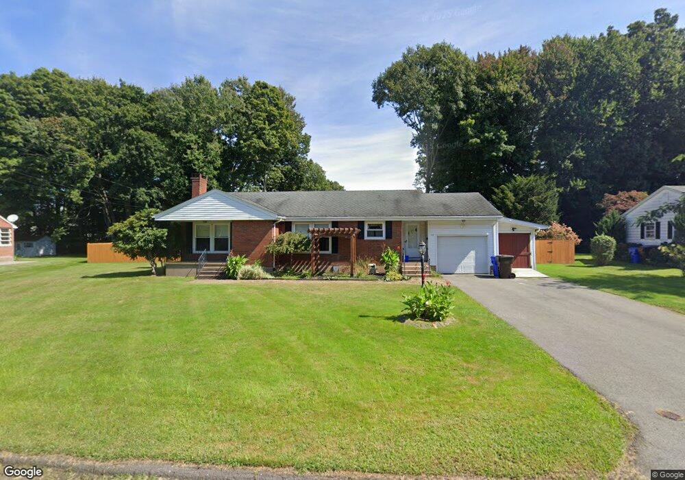
82 Lorelei Cir Middletown, CT 06457
Estimated Value: $370,642 - $429,000
2
Beds
2
Baths
1,364
Sq Ft
$292/Sq Ft
Est. Value
About This Home
This home is located at 82 Lorelei Cir, Middletown, CT 06457 and is currently estimated at $398,411, approximately $292 per square foot. 82 Lorelei Cir is a home located in Middlesex County with nearby schools including Wilbert Snow Elementary School, Middletown High School, and St John Paul II School.
Ownership History
Date
Name
Owned For
Owner Type
Purchase Details
Closed on
Apr 2, 2007
Sold by
Est Volzo Christine M and Thompson Maureen C
Bought by
Sarcia Marijane
Current Estimated Value
Home Financials for this Owner
Home Financials are based on the most recent Mortgage that was taken out on this home.
Original Mortgage
$206,000
Outstanding Balance
$122,671
Interest Rate
6.33%
Estimated Equity
$275,740
Create a Home Valuation Report for This Property
The Home Valuation Report is an in-depth analysis detailing your home's value as well as a comparison with similar homes in the area
Home Values in the Area
Average Home Value in this Area
Purchase History
| Date | Buyer | Sale Price | Title Company |
|---|---|---|---|
| Sarcia Marijane | $257,500 | -- |
Source: Public Records
Mortgage History
| Date | Status | Borrower | Loan Amount |
|---|---|---|---|
| Open | Sarcia Marijane | $206,000 |
Source: Public Records
Tax History
| Year | Tax Paid | Tax Assessment Tax Assessment Total Assessment is a certain percentage of the fair market value that is determined by local assessors to be the total taxable value of land and additions on the property. | Land | Improvement |
|---|---|---|---|---|
| 2025 | $7,557 | $194,280 | $77,880 | $116,400 |
| 2024 | $7,150 | $194,280 | $77,880 | $116,400 |
| 2023 | $6,819 | $194,280 | $77,880 | $116,400 |
| 2022 | $6,211 | $141,150 | $51,920 | $89,230 |
| 2021 | $6,211 | $141,150 | $51,920 | $89,230 |
| 2020 | $6,239 | $141,150 | $51,920 | $89,230 |
| 2019 | $6,267 | $141,150 | $51,920 | $89,230 |
| 2018 | $6,168 | $141,150 | $51,920 | $89,230 |
| 2017 | $6,264 | $147,730 | $61,470 | $86,260 |
| 2016 | $6,086 | $147,730 | $61,470 | $86,260 |
| 2015 | $5,850 | $147,730 | $61,470 | $86,260 |
| 2014 | $5,909 | $147,730 | $61,470 | $86,260 |
Source: Public Records
Map
Nearby Homes
- 56 Coles Rd
- 13 Mckenna Dr
- 45 Mckenna Dr
- 10 Guarino Dr
- 58 Durant Terrace
- 91 Gleeson Rd
- 909 Randolph Rd
- 21 Butternut Knolls
- 11 Mansfield Terrace
- Lot 3 Coleman Rd
- 236 Cross St
- 217 Ridge Rd
- 166 Ridge Rd
- 57 Edgewood Dr
- 32 Burr Ave
- 15 Blue Spruce St
- 23 Hotchkiss St
- 1 Yellow Wood St
- 6 Hillside Ct
- 63 Millbrook Rd
Your Personal Tour Guide
Ask me questions while you tour the home.