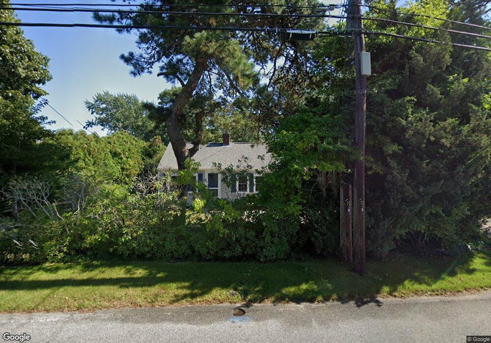
82 Loring Ave West Dennis, MA 02670
West Dennis NeighborhoodEstimated Value: $395,000 - $652,000
2
Beds
1
Bath
680
Sq Ft
$764/Sq Ft
Est. Value
About This Home
This home is located at 82 Loring Ave, West Dennis, MA 02670 and is currently estimated at $519,356, approximately $763 per square foot. 82 Loring Ave is a home located in Barnstable County with nearby schools including Dennis-Yarmouth Regional High School and St. Pius X. School.
Ownership History
Date
Name
Owned For
Owner Type
Purchase Details
Closed on
Aug 29, 2007
Sold by
Kelly Leslie J and Kelly Patricia M
Bought by
Haverty Alina H and Haverty Edward J
Current Estimated Value
Home Financials for this Owner
Home Financials are based on the most recent Mortgage that was taken out on this home.
Original Mortgage
$192,000
Interest Rate
6.71%
Mortgage Type
Purchase Money Mortgage
Purchase Details
Closed on
Oct 27, 1995
Sold by
Kelly John W and Washburn Lois
Bought by
Kelly John W and Kelly Patricia M
Create a Home Valuation Report for This Property
The Home Valuation Report is an in-depth analysis detailing your home's value as well as a comparison with similar homes in the area
Home Values in the Area
Average Home Value in this Area
Purchase History
| Date | Buyer | Sale Price | Title Company |
|---|---|---|---|
| Haverty Alina H | $240,000 | -- | |
| Kelly John W | $50,000 | -- |
Source: Public Records
Mortgage History
| Date | Status | Borrower | Loan Amount |
|---|---|---|---|
| Open | Kelly John W | $190,000 | |
| Closed | Kelly John W | $190,500 | |
| Closed | Haverty Alina H | $192,000 |
Source: Public Records
Tax History Compared to Growth
Tax History
| Year | Tax Paid | Tax Assessment Tax Assessment Total Assessment is a certain percentage of the fair market value that is determined by local assessors to be the total taxable value of land and additions on the property. | Land | Improvement |
|---|---|---|---|---|
| 2025 | $1,657 | $382,600 | $145,700 | $236,900 |
| 2024 | $1,508 | $343,500 | $140,100 | $203,400 |
| 2023 | $1,460 | $312,600 | $127,400 | $185,200 |
| 2022 | $1,472 | $262,800 | $126,200 | $136,600 |
| 2021 | $4,748 | $226,900 | $123,700 | $103,200 |
| 2020 | $1,398 | $229,100 | $135,000 | $94,100 |
| 2019 | $1,228 | $199,100 | $110,300 | $88,800 |
| 2018 | $4,198 | $238,900 | $157,500 | $81,400 |
| 2017 | $14,585 | $205,000 | $126,000 | $79,000 |
| 2016 | $1,362 | $208,500 | $141,700 | $66,800 |
| 2015 | $1,334 | $208,500 | $141,700 | $66,800 |
| 2014 | $1,324 | $208,500 | $141,700 | $66,800 |
Source: Public Records
Map
Nearby Homes
- 2 Rita Mary Way
- 14 Schoolhouse Ln
- 209 Main St Unit 3
- 209 Main St Unit 6
- 209 Main St Unit 1
- 209 Main St Unit 2
- 209 Main St Unit 4
- 209 Main St Unit 5
- 308 Old Main St
- 23 Doric Ave
- 178 School St
- 45 Seth Ln
- 40 Kelley Rd
- 181 Pleasant St
- 401 Main St Unit 201
- 401 Main St Unit 101
- 29 Bass River Rd
- 18 Turner Ln
- 22 Powhatan Rd
- 467 Main St
- 84 Loring Ave
- 80 Loring Ave
- 8 Duck Ln
- 0 Duck Ln
- 11 Duck Ln
- 4 Uncle Frank's Ln
- 4 Uncle Franks Rd
- 10 Uncle Franks Rd
- 14 Duck Ln
- 5 Duck Ln
- 3 Uncle Franks Rd
- 14 Uncle Franks Rd
- 13 Duck Ln
- 6 Brooksweld Ln
- 7 Uncle Franks Rd
- 68 Loring Ave
- 20 Chase Ave Unit 19C
- 20 Chase Ave Unit 19B
- 20 Chase Ave Unit 19A
- 20 Chase Ave Unit 19