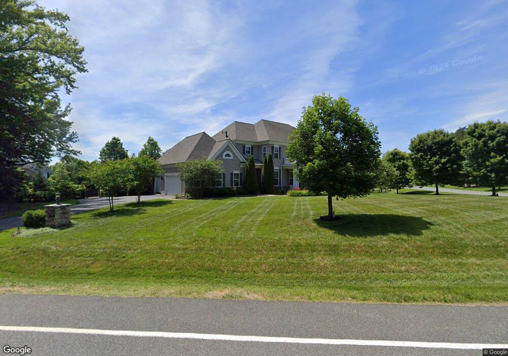
82 Lupine Dr Stafford, VA 22556
Estimated Value: $1,290,000 - $1,374,170
4
Beds
5
Baths
5,351
Sq Ft
$249/Sq Ft
Est. Value
About This Home
This home is located at 82 Lupine Dr, Stafford, VA 22556 and is currently estimated at $1,332,085, approximately $248 per square foot. 82 Lupine Dr is a home located in Stafford County with nearby schools including Margaret Brent Elementary School, Rodney E. Thompson Middle School, and Mountain View High School.
Ownership History
Date
Name
Owned For
Owner Type
Purchase Details
Closed on
Sep 3, 2025
Sold by
Heatherman Brendan George and Heatherman Frances Judy
Bought by
Brendan And Frances Heatherman Living Trust and Heatherman
Current Estimated Value
Purchase Details
Closed on
Oct 5, 2011
Sold by
Augustine Homes Llc
Bought by
Heatherman Brendan G
Home Financials for this Owner
Home Financials are based on the most recent Mortgage that was taken out on this home.
Original Mortgage
$830,879
Interest Rate
4.25%
Mortgage Type
VA
Create a Home Valuation Report for This Property
The Home Valuation Report is an in-depth analysis detailing your home's value as well as a comparison with similar homes in the area
Home Values in the Area
Average Home Value in this Area
Purchase History
| Date | Buyer | Sale Price | Title Company |
|---|---|---|---|
| Brendan And Frances Heatherman Living Trust | -- | None Listed On Document | |
| Heatherman Brendan G | $861,730 | -- |
Source: Public Records
Mortgage History
| Date | Status | Borrower | Loan Amount |
|---|---|---|---|
| Previous Owner | Heatherman Brendan G | $830,879 |
Source: Public Records
Tax History Compared to Growth
Tax History
| Year | Tax Paid | Tax Assessment Tax Assessment Total Assessment is a certain percentage of the fair market value that is determined by local assessors to be the total taxable value of land and additions on the property. | Land | Improvement |
|---|---|---|---|---|
| 2025 | $11,171 | $1,232,100 | $275,000 | $957,100 |
| 2024 | $11,171 | $1,232,100 | $275,000 | $957,100 |
| 2023 | $10,017 | $1,060,000 | $220,000 | $840,000 |
| 2022 | $9,010 | $1,060,000 | $220,000 | $840,000 |
| 2021 | $7,842 | $808,500 | $160,000 | $648,500 |
| 2020 | $7,842 | $808,500 | $160,000 | $648,500 |
| 2019 | $7,808 | $773,100 | $140,000 | $633,100 |
| 2018 | $7,654 | $773,100 | $140,000 | $633,100 |
| 2017 | $8,440 | $852,500 | $140,000 | $712,500 |
| 2016 | $8,106 | $818,800 | $140,000 | $678,800 |
| 2015 | -- | $848,400 | $140,000 | $708,400 |
| 2014 | -- | $848,400 | $140,000 | $708,400 |
Source: Public Records
Map
Nearby Homes
- 51 Maidenhair Way
- 80 Snapdragon Dr
- 78 Madeline Ln
- 60 Snapdragon Dr
- 260 Chriswood Ln
- 123 Arden Ln
- Somerset Plan at Colebrook Estates
- The Jefferson Plan at Colebrook Estates
- Cleveland Plan at Colebrook Estates
- Truman Plan at Colebrook Estates
- 101 Hillsdale Dr
- Birmingham Plan at Colebrook Estates
- 2 Snapdragon Dr
- 14 Cranston Ln
- 315 Mount Olive Rd
- 185 Dolittle Farm Rd
- 5 Small Bear Ct
- 770 Poplar Rd
- 3 Tolson Ln
- Amberly Plan at Hampstead