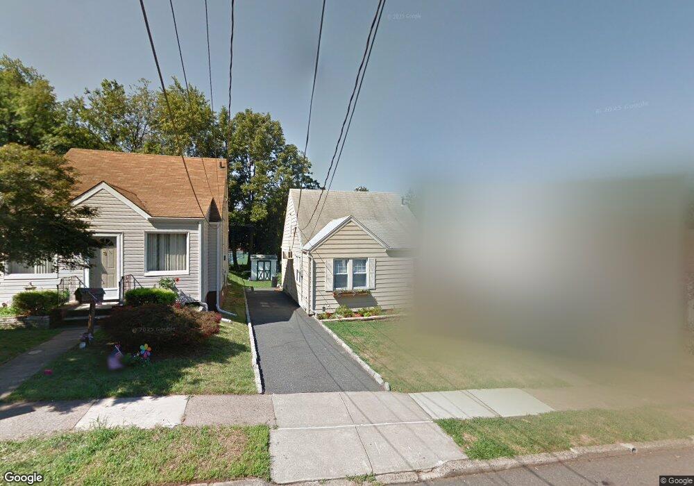
82 Martin St Bloomfield, NJ 07003
Estimated Value: $400,000 - $539,000
--
Bed
--
Bath
1,087
Sq Ft
$446/Sq Ft
Est. Value
About This Home
This home is located at 82 Martin St, Bloomfield, NJ 07003 and is currently estimated at $485,345, approximately $446 per square foot. 82 Martin St is a home located in Essex County with nearby schools including Demarest School, Bloomfield Middle School, and Bloomfield High School.
Ownership History
Date
Name
Owned For
Owner Type
Purchase Details
Closed on
Mar 23, 2010
Sold by
Kundla Andrea Leigh
Bought by
Nalic Dino and Nalic Sarah
Current Estimated Value
Home Financials for this Owner
Home Financials are based on the most recent Mortgage that was taken out on this home.
Original Mortgage
$207,824
Outstanding Balance
$141,272
Interest Rate
5.5%
Mortgage Type
FHA
Estimated Equity
$344,073
Purchase Details
Closed on
Apr 1, 1998
Sold by
Meshulam David J
Bought by
Kundla Andrea Leigh
Home Financials for this Owner
Home Financials are based on the most recent Mortgage that was taken out on this home.
Original Mortgage
$74,000
Interest Rate
7.04%
Create a Home Valuation Report for This Property
The Home Valuation Report is an in-depth analysis detailing your home's value as well as a comparison with similar homes in the area
Home Values in the Area
Average Home Value in this Area
Purchase History
| Date | Buyer | Sale Price | Title Company |
|---|---|---|---|
| Nalic Dino | $215,000 | Commonwealth Land Title Insu | |
| Kundla Andrea Leigh | $92,500 | -- |
Source: Public Records
Mortgage History
| Date | Status | Borrower | Loan Amount |
|---|---|---|---|
| Open | Nalic Dino | $207,824 | |
| Previous Owner | Kundla Andrea Leigh | $74,000 |
Source: Public Records
Tax History Compared to Growth
Tax History
| Year | Tax Paid | Tax Assessment Tax Assessment Total Assessment is a certain percentage of the fair market value that is determined by local assessors to be the total taxable value of land and additions on the property. | Land | Improvement |
|---|---|---|---|---|
| 2025 | $9,190 | $281,200 | $117,200 | $164,000 |
| 2024 | $9,190 | $281,200 | $117,200 | $164,000 |
| 2022 | $9,004 | $281,200 | $117,200 | $164,000 |
| 2021 | $8,838 | $281,200 | $117,200 | $164,000 |
| 2020 | $8,703 | $281,200 | $117,200 | $164,000 |
| 2019 | $7,616 | $191,300 | $102,500 | $88,800 |
| 2018 | $7,583 | $191,300 | $102,500 | $88,800 |
| 2017 | $7,468 | $191,300 | $102,500 | $88,800 |
| 2016 | $7,326 | $191,300 | $102,500 | $88,800 |
| 2015 | $7,260 | $191,300 | $102,500 | $88,800 |
| 2014 | $7,127 | $191,300 | $102,500 | $88,800 |
Source: Public Records
Map
Nearby Homes