82 Midland Dr Waltham, MA 02451
North Waltham NeighborhoodEstimated Value: $723,185 - $951,000
2
Beds
2
Baths
1,276
Sq Ft
$642/Sq Ft
Est. Value
About This Home
This home is located at 82 Midland Dr, Waltham, MA 02451 and is currently estimated at $819,296, approximately $642 per square foot. 82 Midland Dr is a home located in Middlesex County with nearby schools including Douglas Macarthur Elementary School, John F Kennedy Middle School, and Waltham Sr High School.
Ownership History
Date
Name
Owned For
Owner Type
Purchase Details
Closed on
Aug 11, 2023
Sold by
Ferranti Anne M
Bought by
Anne M Ferranti T M and Anne Ferranti
Current Estimated Value
Create a Home Valuation Report for This Property
The Home Valuation Report is an in-depth analysis detailing your home's value as well as a comparison with similar homes in the area
Home Values in the Area
Average Home Value in this Area
Purchase History
| Date | Buyer | Sale Price | Title Company |
|---|---|---|---|
| Anne M Ferranti T M | -- | None Available |
Source: Public Records
Tax History Compared to Growth
Tax History
| Year | Tax Paid | Tax Assessment Tax Assessment Total Assessment is a certain percentage of the fair market value that is determined by local assessors to be the total taxable value of land and additions on the property. | Land | Improvement |
|---|---|---|---|---|
| 2025 | $6,364 | $648,100 | $441,500 | $206,600 |
| 2024 | $6,001 | $622,500 | $422,000 | $200,500 |
| 2023 | $5,916 | $573,300 | $382,900 | $190,400 |
| 2022 | $5,875 | $527,400 | $343,900 | $183,500 |
| 2021 | $5,822 | $514,300 | $343,900 | $170,400 |
| 2020 | $5,698 | $476,800 | $320,400 | $156,400 |
| 2019 | $5,736 | $453,100 | $316,500 | $136,600 |
| 2018 | $5,232 | $414,900 | $293,100 | $121,800 |
| 2017 | $7,777 | $387,500 | $265,700 | $121,800 |
| 2016 | $4,552 | $371,900 | $250,100 | $121,800 |
| 2015 | $4,381 | $333,700 | $218,800 | $114,900 |
Source: Public Records
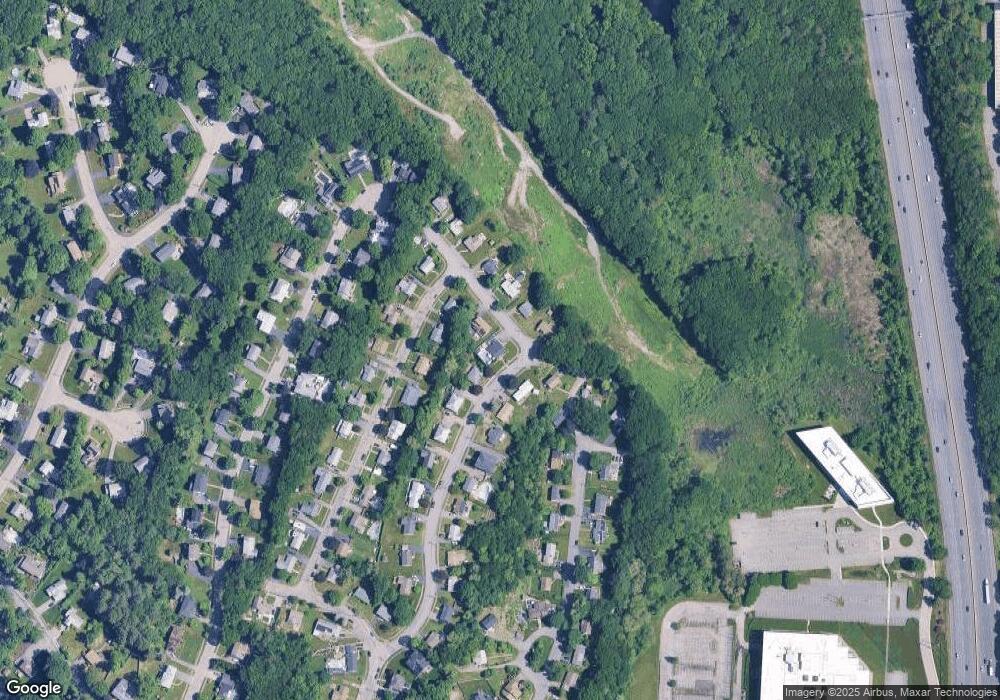
Map
Nearby Homes
- 108 Midland Dr
- 76 Midland Dr
- 81 Midland Dr
- 67 Crestview Rd
- 103 Midland Dr
- 75 Crestview Rd
- 97 Midland Dr
- 70 Midland Dr
- 116 Goldencrest Ave Unit A
- 73 Midland Dr
- 59 Crestview Rd
- 109 Midland Dr
- 118 Goldencrest Ave
- 115 Midland Dr
- 51 Crestview Rd
- 114 Goldencrest Ave
- 62 Midland Dr
- 65 Midland Dr
- 2 Priscilla Ln
- 66 Crestview Rd