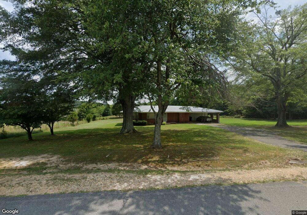
82 Mon Dye Rd Phil Campbell, AL 35581
Estimated Value: $124,438 - $244,000
--
Bed
--
Bath
1,463
Sq Ft
$116/Sq Ft
Est. Value
About This Home
This home is located at 82 Mon Dye Rd, Phil Campbell, AL 35581 and is currently estimated at $169,110, approximately $115 per square foot. 82 Mon Dye Rd is a home located in Franklin County.
Create a Home Valuation Report for This Property
The Home Valuation Report is an in-depth analysis detailing your home's value as well as a comparison with similar homes in the area
Home Values in the Area
Average Home Value in this Area
Tax History Compared to Growth
Tax History
| Year | Tax Paid | Tax Assessment Tax Assessment Total Assessment is a certain percentage of the fair market value that is determined by local assessors to be the total taxable value of land and additions on the property. | Land | Improvement |
|---|---|---|---|---|
| 2024 | $1 | $10,660 | $880 | $9,780 |
| 2023 | $1 | $10,120 | $840 | $9,280 |
| 2022 | $1 | $9,200 | $800 | $8,400 |
| 2021 | $1 | $8,100 | $500 | $7,600 |
| 2020 | $1 | $8,100 | $500 | $7,600 |
| 2019 | $1 | $8,120 | $500 | $7,620 |
| 2018 | $1 | $8,300 | $500 | $7,800 |
| 2017 | $1 | $7,100 | $400 | $6,700 |
| 2016 | $1 | $7,100 | $400 | $6,700 |
| 2015 | $1 | $7,100 | $400 | $6,700 |
| 2014 | $1 | $7,100 | $400 | $6,700 |
| 2013 | $1 | $6,900 | $400 | $6,500 |
Source: Public Records
Map
Nearby Homes
- 571 Cothrum Rd
- 1601 Kelley Rd
- 461 Cox Rd
- 5390 County Hwy 81
- 364 Steele St
- 1537 County Road 81
- 73 Meadow Dr
- 0 Hyde Rd Unit LotWP001 23713578
- 0 Hyde Rd
- 0 Mayhall Dr
- 00 Kent St
- 0 Highway 81
- 364 Mc Clung Ave
- 4025 County Road 172
- 1440 Pike Ave
- 1406 Pike Ave
- 482 Shelnutt Loop
- 2065 Alabama 237
- 000 Benefield Farm Rd
- 000 Alabama 243