82 Moonrise Way Lopez Island, WA 98261
Estimated Value: $864,000 - $1,121,000
1
Bed
1
Bath
600
Sq Ft
$1,689/Sq Ft
Est. Value
About This Home
This home is located at 82 Moonrise Way, Lopez Island, WA 98261 and is currently estimated at $1,013,133, approximately $1,688 per square foot. 82 Moonrise Way is a home located in San Juan County with nearby schools including Lopez Elementary School and Lopez Middle High School.
Ownership History
Date
Name
Owned For
Owner Type
Purchase Details
Closed on
Apr 6, 2012
Sold by
Miley Wade D and Miley Wendy E
Bought by
Berger Kevin C and Takacs Alexis C
Current Estimated Value
Home Financials for this Owner
Home Financials are based on the most recent Mortgage that was taken out on this home.
Original Mortgage
$188,400
Outstanding Balance
$129,822
Interest Rate
3.86%
Mortgage Type
New Conventional
Estimated Equity
$883,311
Purchase Details
Closed on
Sep 6, 2011
Sold by
Hancock Diana G and Estate Of Donald F Miley
Bought by
Miley Wade D and Miley Wendy E
Create a Home Valuation Report for This Property
The Home Valuation Report is an in-depth analysis detailing your home's value as well as a comparison with similar homes in the area
Home Values in the Area
Average Home Value in this Area
Purchase History
| Date | Buyer | Sale Price | Title Company |
|---|---|---|---|
| Berger Kevin C | $258,770 | First American Title | |
| Miley Wade D | -- | None Available |
Source: Public Records
Mortgage History
| Date | Status | Borrower | Loan Amount |
|---|---|---|---|
| Open | Berger Kevin C | $188,400 |
Source: Public Records
Tax History Compared to Growth
Tax History
| Year | Tax Paid | Tax Assessment Tax Assessment Total Assessment is a certain percentage of the fair market value that is determined by local assessors to be the total taxable value of land and additions on the property. | Land | Improvement |
|---|---|---|---|---|
| 2024 | $5,863 | $978,010 | $391,440 | $586,570 |
| 2023 | $5,863 | $983,890 | $391,440 | $592,450 |
| 2022 | $5,282 | $903,630 | $391,440 | $512,190 |
| 2021 | $3,176 | $667,460 | $326,200 | $341,260 |
| 2020 | $4,446 | $595,270 | $326,200 | $269,070 |
| 2019 | $4,130 | $573,280 | $326,200 | $247,080 |
| 2018 | $3,176 | $737,420 | $531,810 | $205,610 |
| 2017 | $2,903 | $378,370 | $223,470 | $154,900 |
| 2016 | $2,113 | $411,270 | $262,900 | $148,370 |
| 2015 | $2,113 | $413,990 | $262,900 | $151,090 |
| 2014 | $2,113 | $272,270 | $239,000 | $33,270 |
| 2012 | $2,113 | $277,990 | $239,000 | $38,990 |
Source: Public Records
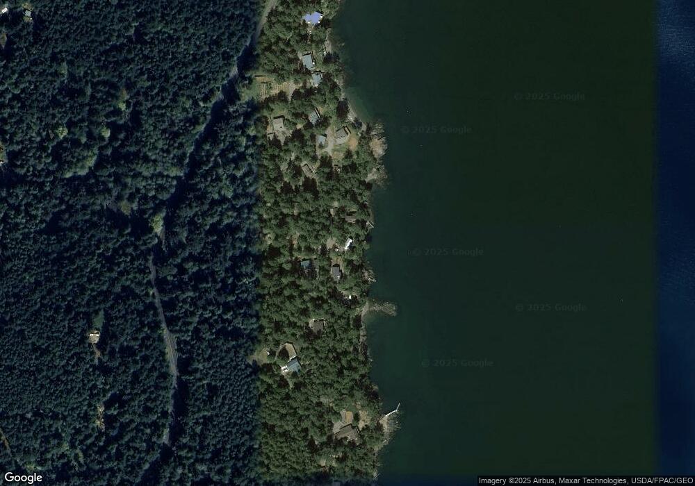
Map
Nearby Homes
- 162 Sea Ranch Rd
- 755 Ferry Rd
- 783 Ferry Rd
- 239 Shoreland Dr
- 137 Forest Ln
- 331 Nelson Ln
- 86 Shag Rock Ln
- 296 Shag Rock Ln
- 230 Gem Farm Ln
- 264 Shaw Park Rd
- 281 Maritime Rd
- 104 Estenson Rd
- 125 Mossywoods Ln
- 335 Blakely Dr
- 95 Weeks Rd
- 1372 Bakerview Rd
- 0 Newton Beach Rd
- 652 Hurricane Hill Rd
- 215 Marine Dr
- 209 Marine Dr
- 94 Moonrise Way
- 124 Anchorage Rd
- 0 Tide Crest Way Unit 29036319
- 0 Anchorage Rd
- 16 Storer Rd
- 34 Storer Rd
- 76 Anchorage Rd
- 47 Storer Rd
- 131 Tides End Rd
- 121 Sea Ranch Rd
- 122 Sea Ranch Rd
- 156 Sea Ranch Rd
- 39 Hilltop Way
- 208 Tides End Rd
- 5182022 Undisclosed
- 259 Ferry Rd
- 46 Hilltop Way
- 30 Foxglove Ln
- 640 Ferry Rd