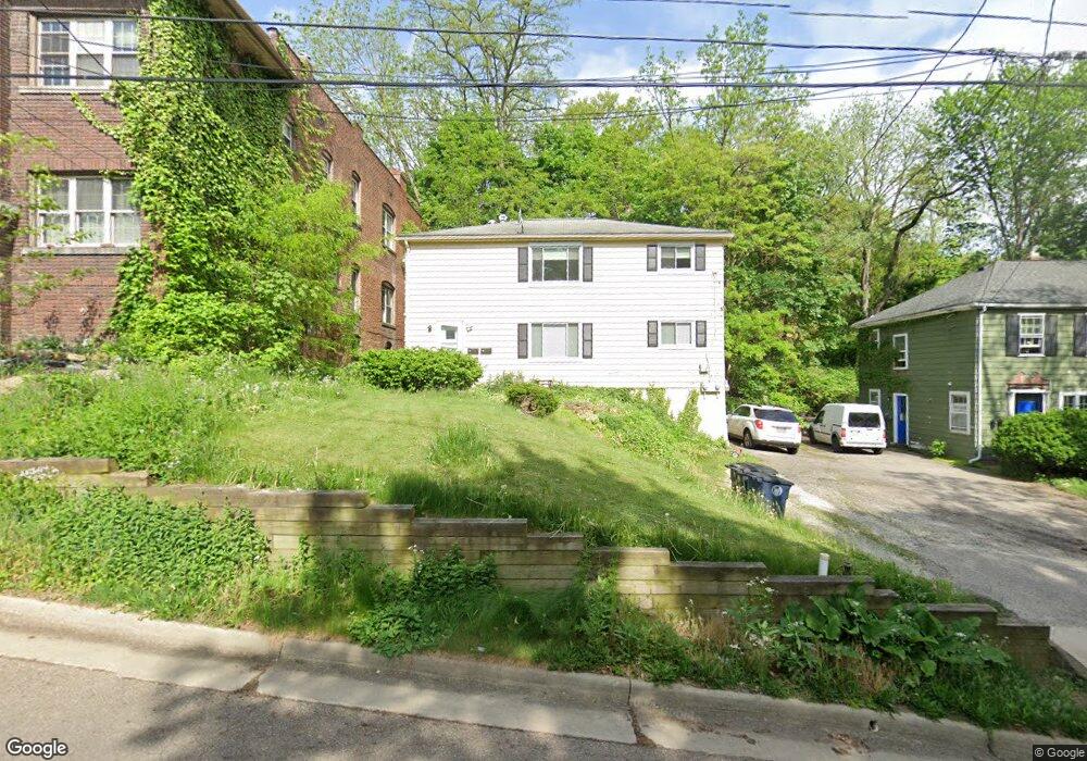
82 Morningside Dr Akron, OH 44303
Highland Square NeighborhoodEstimated Value: $115,000 - $173,088
4
Beds
2
Baths
1,728
Sq Ft
$87/Sq Ft
Est. Value
About This Home
This home is located at 82 Morningside Dr, Akron, OH 44303 and is currently estimated at $151,022, approximately $87 per square foot. 82 Morningside Dr is a home located in Summit County with nearby schools including King Community Learning Center, Towpath Trail High School, and St. Vincent Elementary School.
Ownership History
Date
Name
Owned For
Owner Type
Purchase Details
Closed on
Dec 5, 2003
Sold by
Gallagher Rosalie M
Bought by
Girves Justin R
Current Estimated Value
Home Financials for this Owner
Home Financials are based on the most recent Mortgage that was taken out on this home.
Original Mortgage
$93,400
Outstanding Balance
$40,971
Interest Rate
5.12%
Mortgage Type
Purchase Money Mortgage
Estimated Equity
$110,051
Create a Home Valuation Report for This Property
The Home Valuation Report is an in-depth analysis detailing your home's value as well as a comparison with similar homes in the area
Home Values in the Area
Average Home Value in this Area
Purchase History
| Date | Buyer | Sale Price | Title Company |
|---|---|---|---|
| Girves Justin R | $103,900 | Midland Commerce Group |
Source: Public Records
Mortgage History
| Date | Status | Borrower | Loan Amount |
|---|---|---|---|
| Open | Girves Justin R | $93,400 |
Source: Public Records
Tax History Compared to Growth
Tax History
| Year | Tax Paid | Tax Assessment Tax Assessment Total Assessment is a certain percentage of the fair market value that is determined by local assessors to be the total taxable value of land and additions on the property. | Land | Improvement |
|---|---|---|---|---|
| 2025 | $2,244 | $40,544 | $8,960 | $31,584 |
| 2024 | $2,244 | $40,544 | $8,960 | $31,584 |
| 2023 | $2,244 | $40,544 | $8,960 | $31,584 |
| 2022 | $2,215 | $31,431 | $6,948 | $24,483 |
| 2021 | $2,217 | $31,431 | $6,948 | $24,483 |
| 2020 | $2,185 | $31,430 | $6,950 | $24,480 |
| 2019 | $2,231 | $29,190 | $6,950 | $22,240 |
| 2018 | $2,202 | $29,190 | $6,950 | $22,240 |
| 2017 | $2,201 | $29,190 | $6,950 | $22,240 |
| 2016 | $2,202 | $29,190 | $6,950 | $22,240 |
| 2015 | $2,201 | $29,190 | $6,950 | $22,240 |
| 2014 | $2,183 | $29,190 | $6,950 | $22,240 |
| 2013 | $2,322 | $31,810 | $6,950 | $24,860 |
Source: Public Records
Map
Nearby Homes
- 590 Weber Ave
- 68 Mount View Ave
- 94 Kuder Ave
- 76 Kuder Ave
- 42 Belvidere Way
- 39 N Balch St
- 71 Dodge Ave
- 63 Grand Ave
- 525 Crosby St
- 120 Beck Ave
- 110 Byers Ave
- 427 Kathleen St
- 96 Gale St
- 91 Westwood Ave
- 215 Casterton Ave
- 709 Wellesley Ave
- 221 S Portage Path
- 136 Gale St
- 127 Hollinger Ave
- 623 Hickory St Unit 625
- 88 Morningside Dr
- 74 Morningside Dr
- 121 Merriman Rd
- 83 Morningside Dr
- 644 Weber Ave
- 77 Morningside Dr
- 123 Merriman Rd
- 89 Morningside Dr
- 648 Weber Ave
- 71 Morningside Dr
- 630 Weber Ave
- 67 Morningside Dr
- 67 Morningside Dr Unit 2
- 67 Morningside Dr Unit 1
- 650 Weber Ave
- 63 Morningside Dr
- 662 Weber Ave
- 626 Weber Ave
- 620 Weber Ave
- 15 Neal Ct